Scale Force and Crummock Water
Distance: 13.9km (8.64 Miles)
Ascent: 546m (1791ft)
Duration: 3 Hours 30 Minutes
The weather was awful on the way to Buttermere this afternoon but the forecast was for it to improve as the day went on. So I had a quick stop to check out Moss Force before carrying on to Buttermere, and after a bit more rain it pretty much cleared up.

Walking back into the village of Buttermere from the National Trust Carpark with High Snockrigg ahead.

Fleetwith Pike touching the clouds to the south.

And as if by magic the clouds were clearing.

The view back down to the end of Crummock Water and Buttermere.

Fleetwith Pike and Buttermere.

Mellbreak falling steeply into the lake.

Bright greens and purples on Grasmoor. The route back to Buttermere takes me past the houses just near the lake.

The beautiful Scale Force.


My favourite waterfall in the Lakes.

Looking down Crummock Water to Fleetwith Pike.

Rannerdale Knotts on the other side.

The route was very easy to follow throughout this section, but here there is no chance of going wrong. Simply don’t go uphill, and don’t go for a swim.

Whiteless Pike.

The crags on the north side of Rannerdale Knotts.

Whiteside.

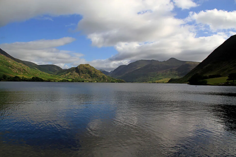
Looking down nearly the full length of Crummock Water. Rannerdale Knotts to the left, High Stile and Red Pike to the right.

The giant pyramid that forms the western side of Grasmoor.

The lovely Haystacks and mighty Great Gable behind.

Beautiful scenery and sunshine around Buttermere on the return back to the car.