Kinder Scout Wild Camp Day 2
Distance: 21.5km (13.35 Miles)
Ascent: 299m (981ft)
Duration: Wild Camp
Day two of an awesome mini-expedition around the Kinder Scout Plateau. After heading up onto the plateau last night and setting up camp near Kinder Low, I headed over to the Trig on Kinder Low, followed by seeking the true summit of Kinder Scout. Beyond this I headed to the other two Trig Points on the Plateau on the north west corner and far eastern corner and hunted out several plane crash sites too!

It was a cold night with Kinder Scout covered in a thick layer of frost.

The 633m Trig Point on Kinder Low. Most walkers consider this as reaching the top of Kinder Scout but the true summit is 3m higher and about 800m away to the north east.

Another view of the Trig and this time looking to the highest point on Kinder Scout.

This post marks the true summit of Kinder Scout. I had to use the GPS to make sure I was in the right place!

Back on the Pennine Way and time to follow the path along the plateau towards Kinder Downfall.

Kinder Reservoir.

Kinder Downfall.

The Trig on the North Western corner of the Kinder Plateau at 624m.

Looking down to Kinder Reservoir after rejoining the Pennine Way.

Looking back along the western end of Kinder, the cloud dropping.
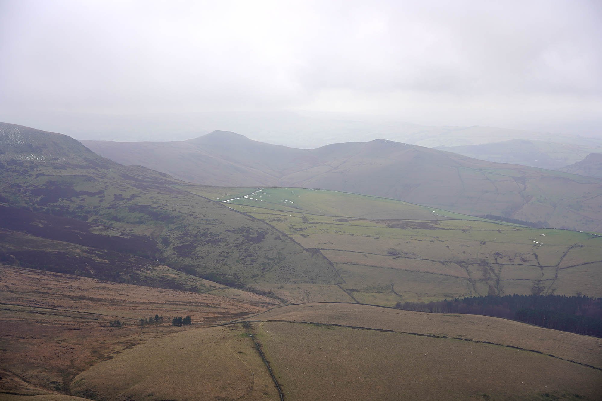
South Head and Mount Famine.

A view down to my first plane crash of the day (I actually wanted to find one near Kinder Low but forgot).

A small memorial to the two officers who died. Its thought that two North American Sabre’s crashed into each other or into the hillside with the debris landing here on the 22nd July 1954.

Landing Gear.


Lots of wreckage about.


From the Crash Site I headed straight up the hillside to the plateau path again and turned east.

My view ahead.

Looking across to Higher Shelf Stones and another amazing crash site is just by the summit.

My path east along the plateau. In the distance is The Edge.

A view back to the skyscrapers of Manchester.


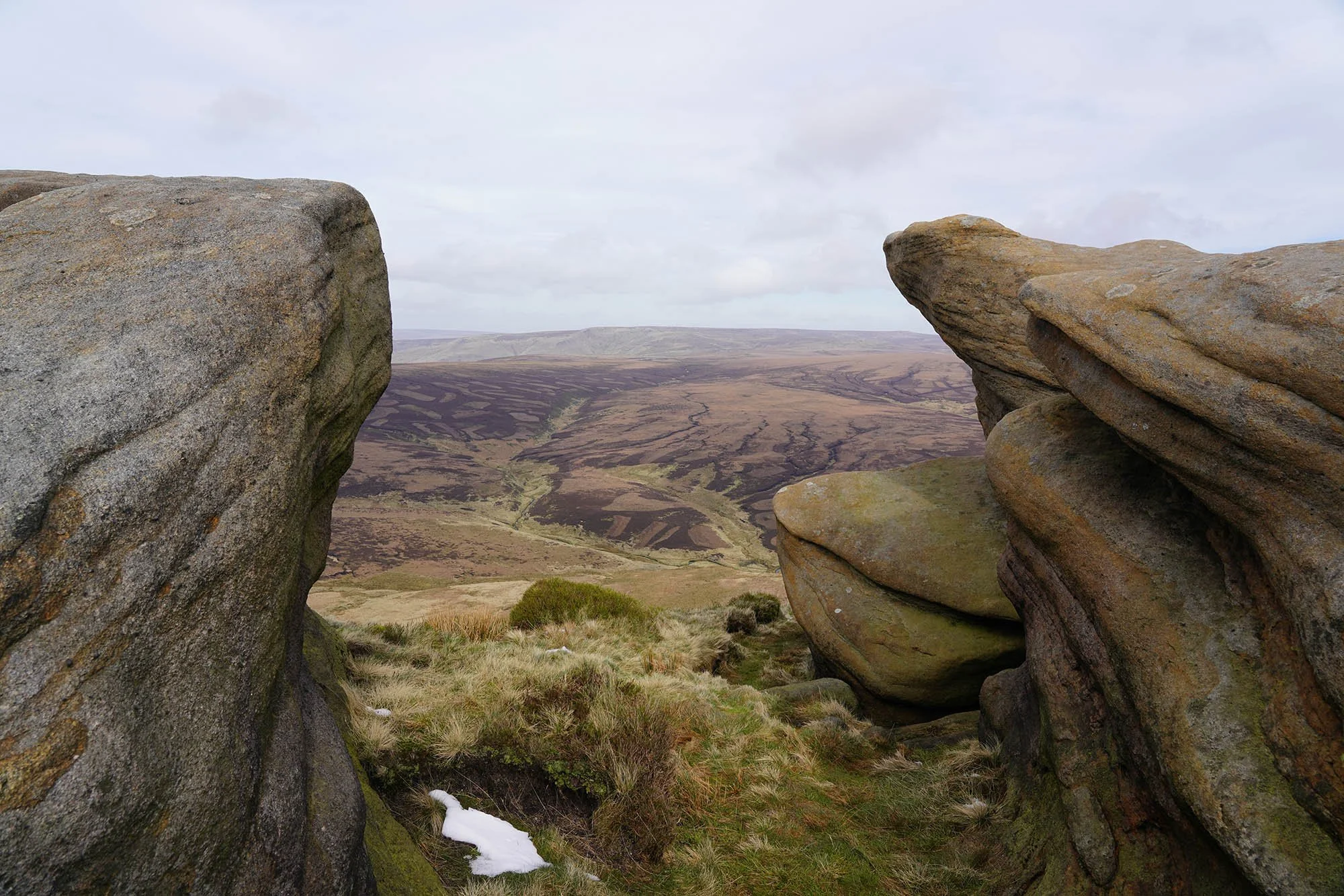
Awesome rock formations on Fairbrook Naze.


Looking to Seal Edge with my route following the entire plateau.

Looking back to Fairbrook Naze.

The superb view from the plateau path.

Seal Edge.

Interesting rocks along the edge of the plateau.


A view to Blackden Edge with the high point marking the 590m eastern summit of the Kinder Plateau.

Blackden Brook.

The 590m Trig on the eastern end of the Kinder Plateau.

Just south east of the trig is the site of my second crash site of the day. This was the site a Halifax Mk. II crashed on the 5th October 1943.


From this crash site I headed west just a short way to the final crash site of the day.

This is all that remains of the crashed Wellington Mk. III which impacted here on the 26th January 1943.


The impressive rocks of Ringing Roger.


The sun setting behind Grindslow Knoll.

The epic view of Edale on the descent.

Mam Tor and its impressive Iron Age earthworks.

Win Hill and Lose Hill in the evening sunlight.