Kinder Low
Distance: 14.6km (9.07 Miles)
Ascent: 499m (1637ft)
Time: 5 Hours 30 Minutes
Todays walk was a slightly unusual in the fact that I had driven up to the Peaks (about 3.5 hrs), complete the walk and then return the same day. On top of this it was a hot day reaching around 23 degrees but the reason for this was that my sister is due to complete the National 3 Peaks Challenge in a few weeks time and she needed a bit more hill walking experience and fitness so we chose a day trip to the Peaks!

Edale marks the beginning of the Pennine Way, a 268 mile route to the Scottish Border!

The Old Nags Head Pub.

We left the village along the old Pennine Way before it was diverted due to erosion which provided us with a view up to Ringing Roger.

Enjoying the path up Grindsbrook Clough although its a bit too hot already!

Grindsbrook Clough.


A series of Crags around the Kinder Plateau. Almost there!

A view down Grindsbrook Clough.

This is actually the first time my Sister has ever been to the Peak District. Lets say it’s made a good first impression!

First peak ahead of us; Grindslow Knoll at 601m.

The top of Grindslow Knoll was very busy with probably a dozen or more people enjoying the view.

A distant view to Stanage Edge, Win Hill and Lose Hill.

Mam Tor with its distinctive earthworks (Iron Age Fort) around its summit.

A view back to Grindslow Knoll.

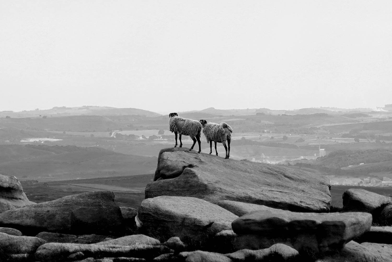
As many visitors to the Peaks are aware, the gritstone erosion forms many interesting and unusual shapes!

Pym Chair.

The summit of Kinder Low.

Edale Rocks.

The walk down Jacobs Ladder was very tough in this heat as it had reached about 25 degrees by this point. At the bottom of the descent is a little footbridge and stream - the perfect place to rest and dip the feet in (it was so cold and refreshing!).