Hopegill Head
Distance: 11.1km (6.89 Miles)
Ascent: 906m (2973ft)
Duration: 3 Hours 5 Minutes
A great late afternoon walk in the North Western Fells.

I've had this walk planned for a while now and this afternoon seemed to be the best time to do it. I started from Lanthwaite car park just by the road which offers great views to Whiteside as seen in the photo.

And great views up to Grasmoor.

Long shutter of Liza Beck.


Waterfalls alongside the footpath up Gasgale Gill.

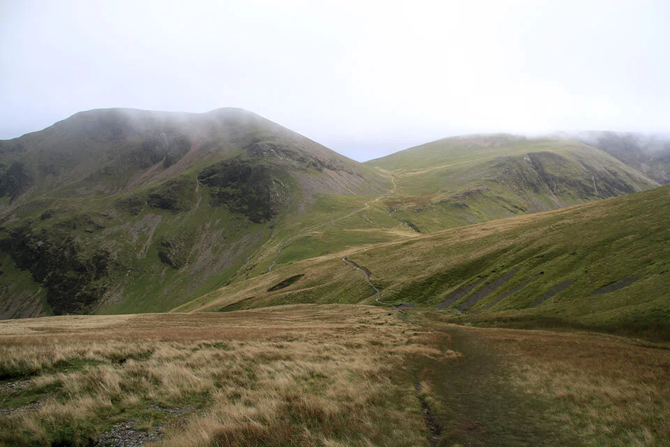
Looking up Gasgale Gill with Hopegill Head high up ahead.


From the path alongside Liza Beck the view up to Whiteside is fantastic, with the rocky crags appearing more like jagged teeth along the ridge.

The waterfall at the top of Liza Beck near Coledale Hause.
As soon as I arrived at Coledale Hause the cloud descended to cover the tops of the surrounding fells and remained lower for the next 20minutes or so. I was afraid I wasn't going to get any views from here on.

The Langdale Pikes to the south.

And Criffel to the north.

A view down Hobcarton to Whinlatter Pass and Scotland beyond the Solway Firth.

And a view in the opposite direction towards Causey Pike and the Helvellyn range.

Grisedale Pike summit cairn and view to Derwent Water.

And the view without the cairn.

Cross Fell to the east.

A view of many layers here, Causey Pike summit (with a group on the top, the Central Fells and Ingleborough in the far distance.

The sun setting over to the west.

Hobcarton Crag and the valley of Hobcarton.

Hope Gill.

Grisedale Pike and Hobcarton Crag.

The summit cairn on Hopegill Head with the valley of Hope Gill and Ladyside Pike behind.

Gasgale Gill far down to the left along the ridge to Whiteside.

Whiteside ahead, the third peak today.

Gasgale Crags and Crummock Water.

Whiteside summit cairn and Loweswater.

And the view back along the ridge to Hopegill Head.

Gasgale Gill with the route of ascent seen alongside Liza Beck.
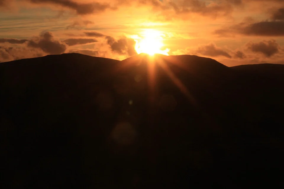

The sun setting behind Blake Fell.

Liza Beck 5 mins from the car.