Great Langdale
Distance: 5.48km (3.40 Miles)
Ascent: 130m (427ft)
Duration: 1 Hour 50 Minutes
I had no plans for todays walk other than to head into Great Langdale and as the weather was poor I stayed low and just wandered around to see some of the features in the area.

On the way into Great Langdale I had to stop at Skelwith Force as we had some pretty heavy rain the night before. The water level was very high but I've seen the waterfall worse in photographs.

The rocks and bridge alongside the waterfall.
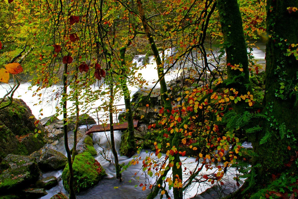
Lots of water and bold autumn colours. Time to head to Chapel Stile.

The Weir at Chapel Stile.

Showing how high the water level was... I wonder how high it was in November 2008?

Very low cloud around Lingmoor Fell.

Wonderful misty cloud formation around the Langdale Pikes.


The Langdale Boulders.

The Prehistoric Rock Art - dates from around 5000 - 3000 BC. After finishing the walk I decided to head to Colwith Force as I have never seen the waterfall before.

Colwith Force.

The waterfall in landscape. The next selection of photos is of Grasmere on the way back home.

Helm Crag reflections.


Helm Crag in Portrait.

Silver How and Helm Crag Panoramic.


All is calm here at Grasmere today.