Bowscale Fell
Distance: 10.2km (6.34 Miles)
Ascent: 576m (1890ft)
Duration: 2 Hours 45 Minutes
I headed to the northern fells today to avoid the crowds and thankfully managed just that. For the first three quarters of the walk I saw only two other people, on the descent I saw about 20 or so heading uphill towards Bowscale Fell.

Looking up the valley north of The Tongue from the road linking Mungrisdale with Bowscale.

Mungrisdale Church.
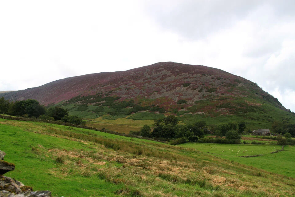
What a lovely colour Carrock Fell is today.

Looking up Mosedale to the disused Carrock Mines.

And again from higher up.

Drycomb and Drycomb Beck.

The view back along the bridleway to Mosedale.

Bowscale Tarn fairly calm today.

Time for the steep part of ascent - this was a real thigh burner.

Finally up on the ridge, here looking to High Pike.

A birds eye shot of Bowscale Tarn.

Bowscale Fell cairn.

Carrock Fell summit across Mosedale.

A Wheatear joined me on the summit.

And the true summit of Bowscale Fell marked by the shelter.

Blencathra, Atkinson Pike and the legendary Sharp Edge to the left.

The Tongue seen from the other side to the first photo.

Bannerdale Crags across Bannerdale.

And the awesome looking ridge leading up to the summit of Bannerdale Crags - one to do in the future I think!