Great Gable
Distance: 10.5km (6.52 Miles)
Ascent: 964m (3163ft)
Duration: 4 Hours 15 Minutes
A superb sunny day walking up to Great Gable and Green Gable.

Sourmilk Gill from the roadside parking at Seathwaite Farm. This will be my route of descent later on.

The path I followed was the one skirting Base Brown that takes you up to Taylorgill Force. The reason for this is that I have walked within 100m of Taylorgill Force on at least two occasions and never seen it! Today that was to change!

The view back down Borrowdale to the central fells and Blencathra.

Rocks and trees on Seathwaite Fell.

And the beautiful Taylorgill Force. The next section of the walk was a bit rough and involved some light scrambling as I worked my way around to the top of the waterfall.

Taylorgill Force from further round.

A rather large gully on Base Brown - possibly a good scramble up?

Styhead Tarn and Great End.

From the same place as the last photo there is also a view up to Great and Green Gable. The gap in the middle is Windy Gap.

Great End, the Scafells and Styhead Tarn.

Lingmell over Styhead Pass.

Sparkling Styhead Tarn. Time to start the steep section of ascent...

Styhead Tarn from the ascent to Great Gable.


The Langdale Pikes not so far away and a small section of Windermere.

Now on the summit of Great Gable and happy its clear of cloud!

The Scafells from Great Gable. Time to head down to the Westmorland Cairn.

The Westmorland Cairn and Wast Water.
Great Napes and Great Hell Gate from the Westmorland Cairn, quite a drop I tell ya!

The Westmorland Cairn.

And an uninterrupted view of Wast Water and Wasdale. Time to head back to the summit for something to eat and then onto Green Gable.

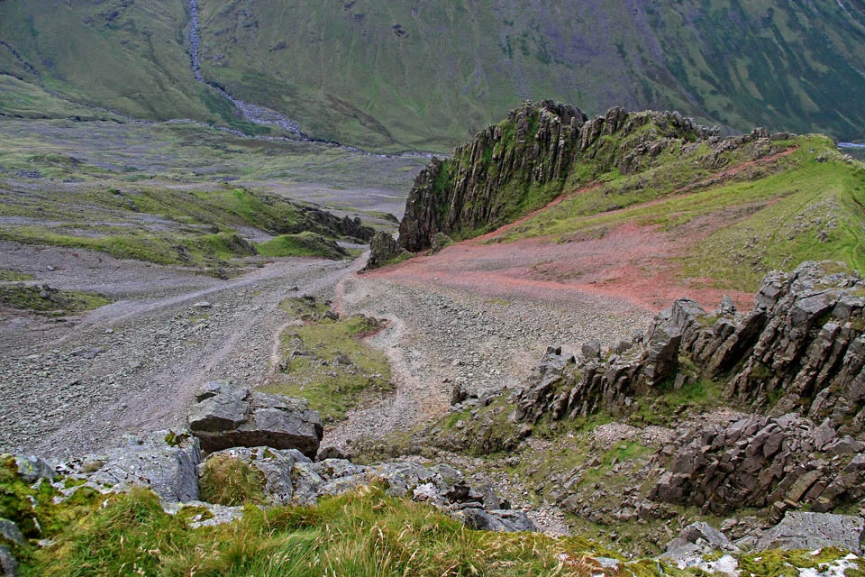
I took this photo from Windy Gap in-between Great and Green Gable. I do love how colourful it looks down Ennerdale.

The mighty Pillar. Next day off work and its weather like this... I'll be up there!

The High Stile ridge.

Green Gable summit cairn and view.

Gable Crag from Green Gable.

Buttermere and Crummock Water over Haystacks. The route of descent from here took me down to Gillercomb, which is a hanging valley above Seathwaite.

Gillercomb, the hanging valley with Gillercomb Crag to the left.

Sourmilk Gill Waterfalls.

And a wide shot of the waterfall.