Beda Head to the Nab
Distance: 19.7km (12.23 Miles)
Ascent: 1174m (3852ft)
Duration: 5 Hours 5 Minutes
The original plan was to head up the Langdale Pikes today via Jacks Rake but a quick change of mind took me over to complete the Far Eastern Fells by summiting The Nab and Beda Fell in one amazing long walk from Hartsop.

Bright blue skies and a dusting of snow today.

The east side of Brock Crags from Hartsop.

Clear blue skies as I headed north to Boredale Hause.

Gavel Pike and St Sunday Crag.

Hart Crag and St Sunday Crag.

Arnison Crag and Sheffield Pike.

A small section of Ullswater visible as I climb up to Boredale Hause.

Birkhouse Moor, Sheffield Pike and Patterdale.

Place Fell from Boredale Hause.

The valley of Boredale with Hallin Fell at its very end... or beginning.

Dunmallard Hill past Howstead Brow.

A view west to the eastern fells. Helvellyn is just under cloud near the centre.

Cloud creeping in over the fells to the south.
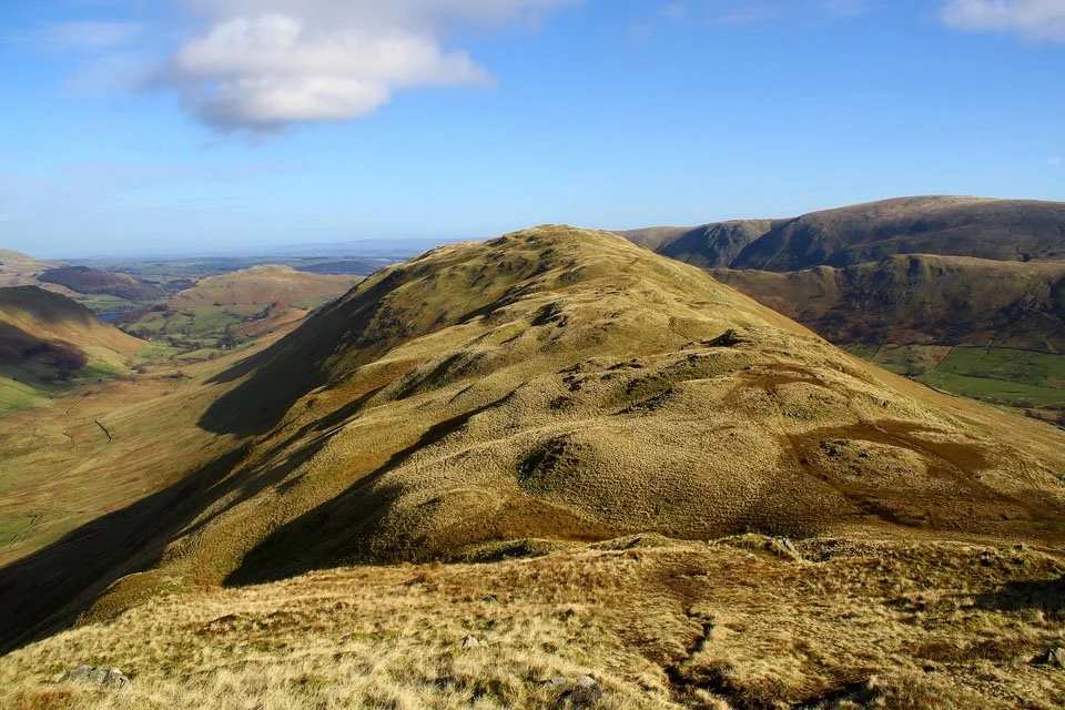
My route along the top of Beda Fell to Beda Head.

Beda Head summit cairn.

And again looking east to Loadpot Hill.

Ullswater and Dunmallard Hill.
Blencathra over High Dodd.

Not much snow on Blencathra today.

The Nab and Rest Dodd - I will be on both of those later today.

The head of Boredale backed by Place Fell.

Bannerdale.

Loadpot Hill, Wether Hill and The Nab. Time to head over to Angletarn Pikes.

One of the two pikes that make up Angletarn Pikes - this one is the highest by 2 metres.

The small summit cairn on Angletarn Pikes north top - looking to the south top.

Angletarn Pikes south top summit and tarn of the same name.

Angle Tarn - a popular wild camp site.

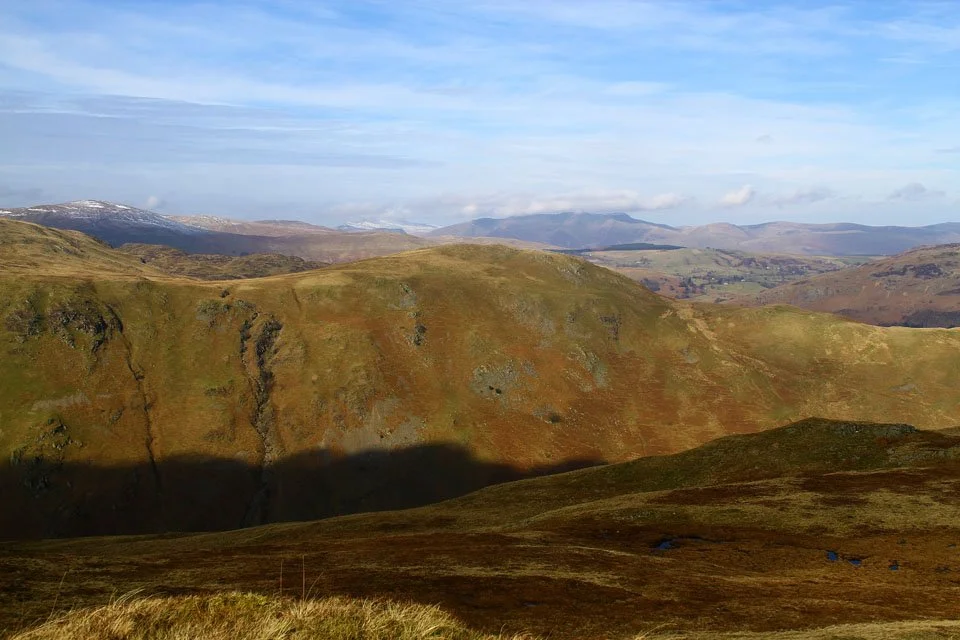
A little view down Bannerdale to Beda Head (where I was earlier) and to The Nab (where I'm going next).

Rest Dodd.

Cloudy High Street and Gray Crag surrounding Hayeswater.

The immense peat hags on the way to The Nab. It was not nice walking to the top... very wet!

The Nab summit cairn.

And again looking to Rest Dodd with a fair dusting of snow on its north face.

Rest Dodd summit cairn.

Hayeswater.

Mining remains along Hayeswater Gill.

Patterdale MRT were out around Hartsop. Not sure if it was a practice run or for real...

But they were all out including the chopper.