Kirk Fell
Distance: 7.98km (4.96 Miles)
Ascent: 826m (2710ft)
Duration: 3 Hours 5 Minutes
Who's idea was it to head up Kirk Fell directly from the south west... The route up has to be the steepest and most exhausting path I have ever walked in my life!

Sunlit Pillar and a shaded Wasdale Head Inn.

Kirk Fell - and my route of ascent well shown as the path leading directly up the fell. Up until this point I had always said I would avoid this path as it looks too steep to enjoy, but here I am... about to go up it!

A little view into Mosedale to Pillar from Wasdale Head.

The legendary Great Gable. The path you can see on the left was one of my options for the descent.

A vast network of stone walls around Wasdale Head.

The path leading straight up Kirk Fell. I would advise that a walker not use this route for descent as the top section is steep scree.

Red Pike, Black Crag and Pillar.

Lingmell across Wasdale.

Lingmell Beck with the towering peaks of Great Gable, Great End and Lingmell high above.

Sca Fell.

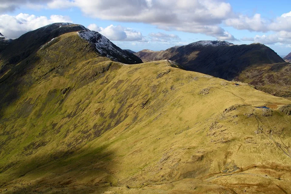
Red Pike and Pillar overlooking Mosedale.

The Screes falling sharply into Wast Water. Burnmoor Tarn to the left and Yewbarrow to the right.

Great Gable with someone on the top.

The Langdale Pikes with the Howgills in the far distance.

Great End, Broad Crag, Scafell Pike and Scafell.

Red Pike, Scoat Fell and Pillar from Kirk Fell.

An open view north to the North Western Fells (Grasmoor to the far left), Skiddaw and Blencathra.

The Helvellyn Range over the second (lower) summit of Kirk Fell.

Green and Great Gable.

Kirk Fell summit cairn backed by the North Western Fells.

The summit shelter and the Scafells.

Kirkfell Tarn.

My chosen route of descent was north by Kirkfell Crags and down to Black Sail Pass. This was where I saw the only other walker today.
Pillar to the left and the High Stile range to the right.
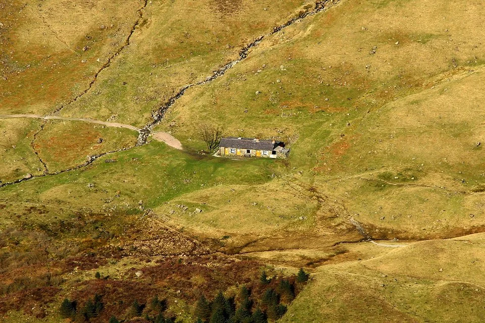
Black Sail youth hostel. One of the remotest hostels in England. Will have to stay there one night.

Ritson’s Force.