Whin Rigg and Illgill Head
Distance: 14.6km (9.07Miles)
Ascent: 916m (3004ft)
Duration: 5 Hours 10 Minutes
A fantastic walk along Wast Water and back over the Screes.

Looking back to Kirk Fell and Great Gable.

Yewbarrow.

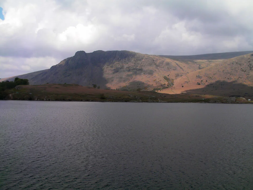
Red Pike and Yewbarrow across Wast Water.
Buckbarrow.
Wast Water from the start of the ascent.

Just reached the top of the steep section, nice and gentle as we head up to Whin Rigg.

Illgill Head and Sca Fell.
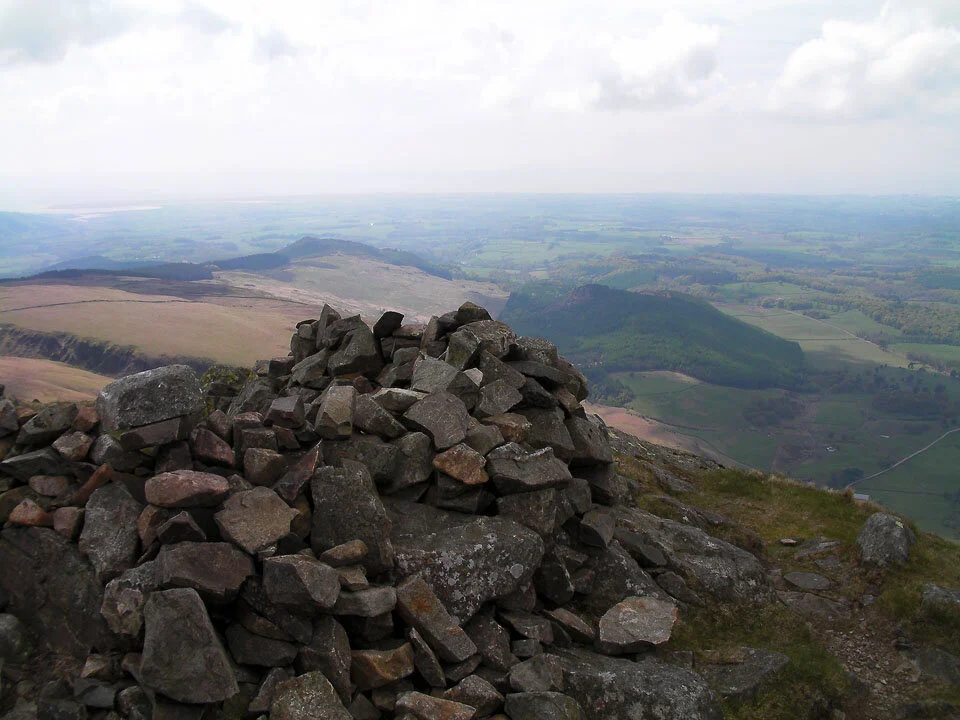
Whin Rigg summit shelter.

Middle Fell.
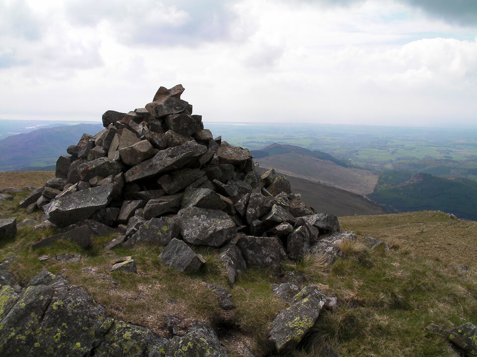
Whin Rigg cairn.

Looking down the Screes.
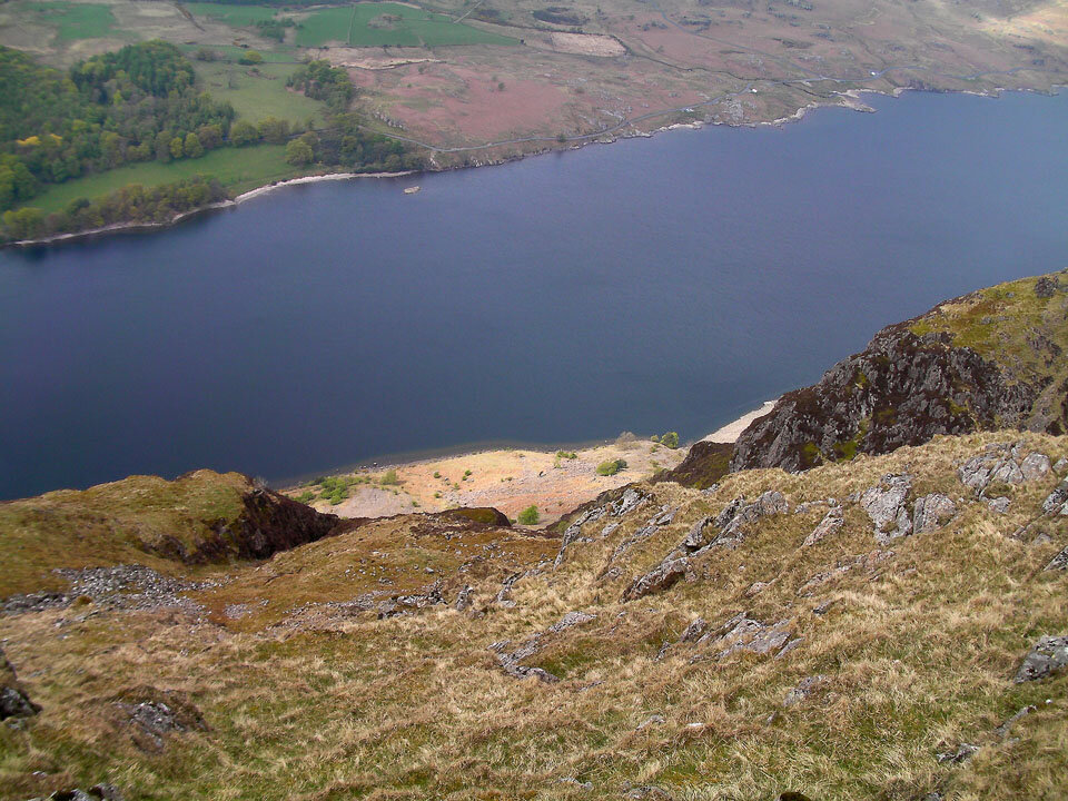
Wast Water from the top of the Screes.

Yewbarrow.

Illgill Head summit cairn.

Another cairn on the highest point on Illgill Head.

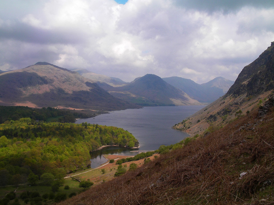
The awesome mountains around Wasdale Head.

A panorama of Wasdale.