Dow Crag and Coniston Old Man
Distance: 13.1km (8.14 Miles)
Ascent: 903m (2962ft)
Duration: 5 Hours 15 Minutes
A sunny walk up to Dow Crag and onto Coniston Old Man

Walna Scar Road.

Sparkling Coniston Water.

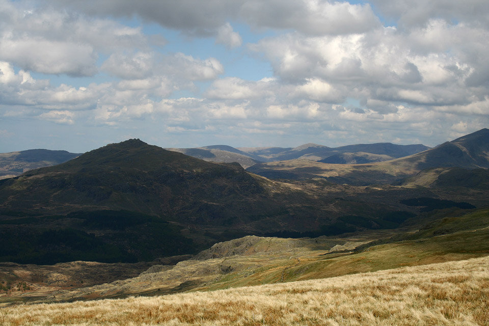
Ingleborough way off on the horizon.

The Scafells.
Harter Fell.

Green Crag and the Irish Sea.

Brown Pike summit cairn.
Brown Pike and Coniston Old Man.

Blind Tarn.

Blind Tarn and Brown Pike.

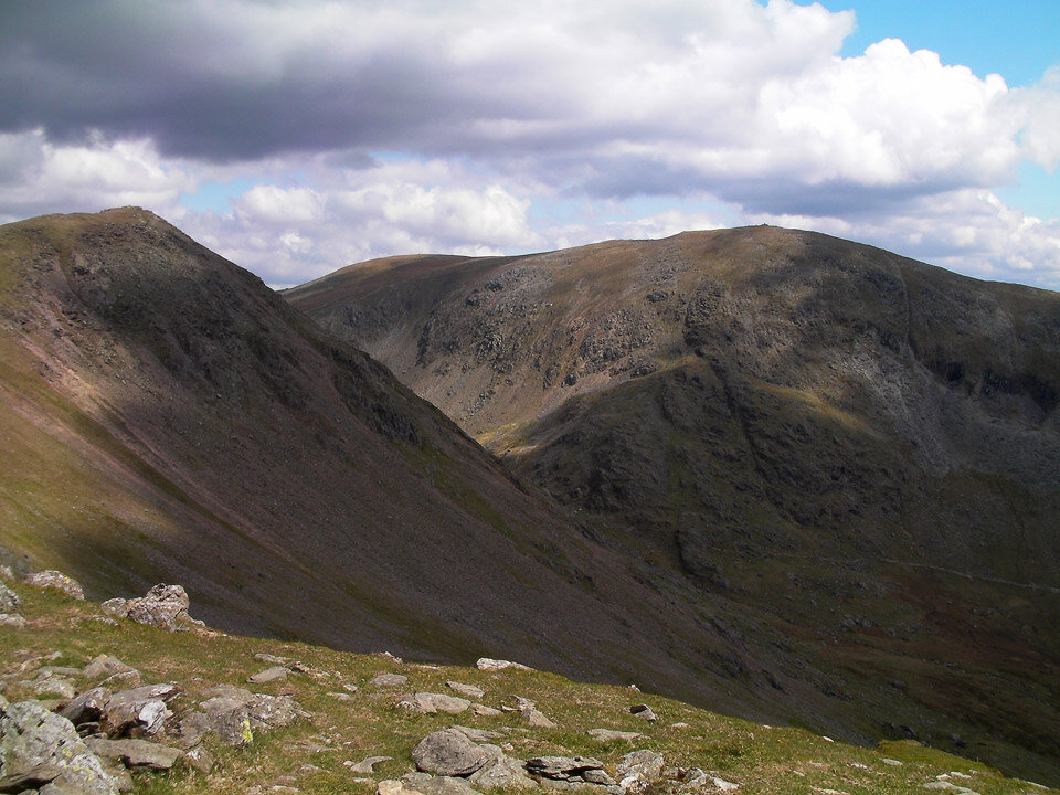
Buck Pike summit with Dow Crag to the left and Brim Fell to the right.

Dow Crag.

Goats Water.

The craggy east face of Dow Crag.

Harter Fell now in sunshine.

Sca Fell and Scafell Pike.

A wide shot of the Sca Fells.

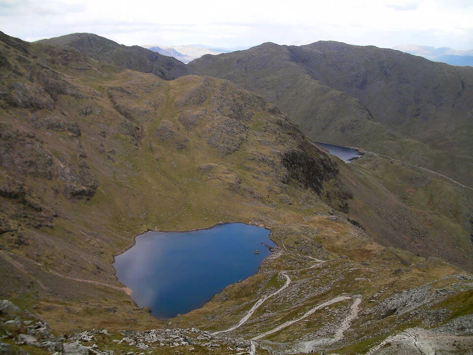
Goats Water and Coniston Water.

Dow Crag.

Brim Fell summit.

Coniston Old Man summit cairn.

Coniston Old Man trig col, Brim Fell and Swirl How.
Low Water and Levers Water.

Crags above Low Water.

Old Mine workings.

More mine workings on the decent back to Walna Scar.