Weavers Way - Part 2
Distance: 27.2km (16.95 Miles)
Ascent: 100m (328ft)
Duration: 5 Hours 10 Minutes
Well its been years and years since I did the first section of the Weavers Way and I am going to finish the whole walk this year starting today! I got a lift down to Acle Bridge which is where we finished up last time and walked to Stalham. The next section will be shorter at about 16km which leaves the most interesting part to Cromer for a 4th day.

The River Bure from the top of Acle Bridge looking in the direction I will be walking. My path is the one on the right past the boats. You can see a couple walking along there at the moment.

My riverside footpath.

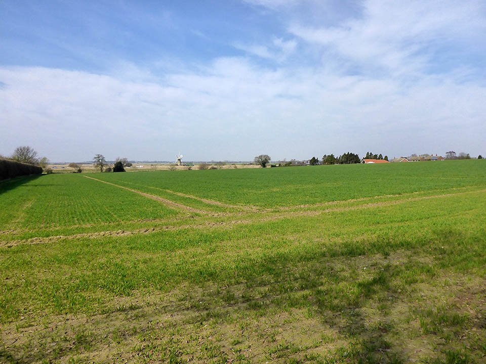
A traditional Norfolk scene.

Clippesby Drainage Mill.

Oby Drainage Mill.

I noticed these on the way to Thurne Church.
A view over the field to St Benet's Level Drainage Mill.

Thurne Church.

Thurne Staithe.

Thurne Drainage Mill. One of the most recognisable thanks to its white paint.

Repps Level Drainage Mill - Now converted to a house.

This is known as the Helter Skelter House.

Potter Heigham Bridge.

Highs Drainage Mill along the River Thurne.

Rush Hill - a part of Hickling Broad. This was taken from the Bird Hide along this part of the path and a perfect stop for lunch.

This sign marked the most boring section of todays walk which was approx 3.25 miles of road walking. I suppose it had to come sooner or later - I did manage to get this far with only about 100m on road and the rest on footpaths...

Sutton Corn Mill - I believe is the tallest mill in the Country - 9 Stories!