Uldale Fells
Distance: 16.4km (10.18 Miles)
Ascent: 817m (2681ft)
Duration: 3 Hours 23 Minutes
Its Bank Holiday Monday so I had to think of somewhere quiet so I opted for the nearby Back O'Skiddaw fells. Its been 2 years since I was last here but only feels like a couple of months ago…

Great Cockup directly ahead from the very start of the walk. My route wasn't direct, I followed the road through Orthwaite and then approached from the south west.

Binsey, Latrigg (not the Wainwright one) and Overwater.
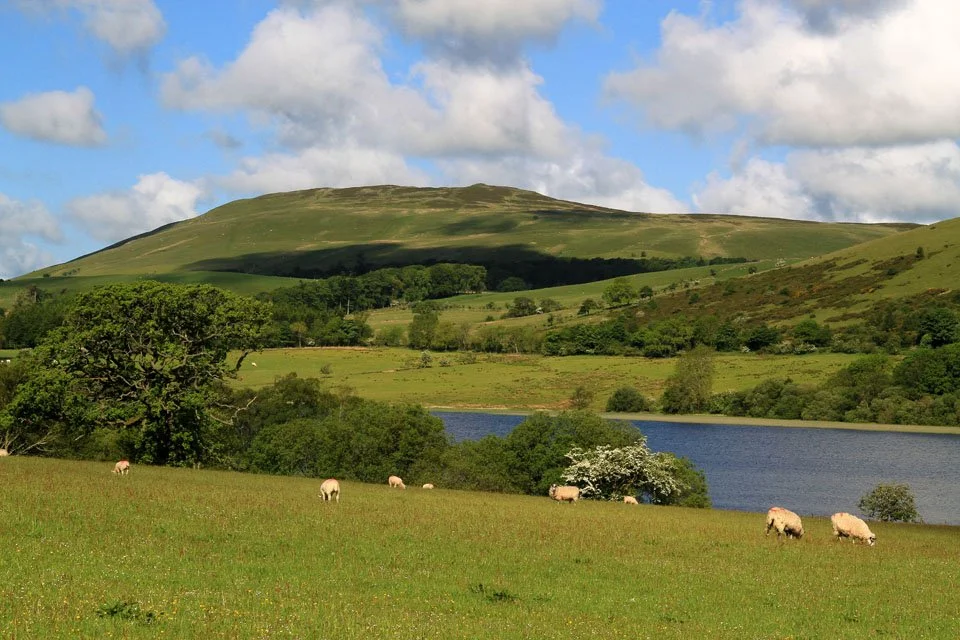
Binsey and Overwater. Unfortunately the lake is private with no public access to the lake shore.

Colourful flowers along the road through Orthwaite.

Beautiful weather and a beautiful scene.

The North Western Fells over lush green fields.

The Skiddaw fells. I can't imagine how busy it would be up there today!

A small section of Bassenthwaite Lake from the side of Great Cockup.

Skiddaw. The pointed peak to the far left is Lonscale Pike with Whitewater Dash (Dash Falls) below.

The stunning view out to the west coast.

Great Cockup summit cairn with Binsey in the distance and Criffel to the right.

Again my mind was wondering... All those people up the more popular fells and not a sole in sight here!

Skiddaw and Bakestall from Trusmadoor.

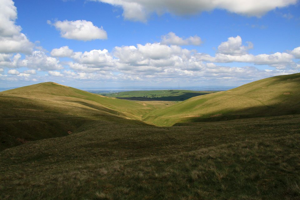
Trusmadoor, possibly the only place on the whole walk with bare rock exposed. On the way up to Meal Fell (the slope on the right) I saw the first person today who was then heading to Great Cockup.

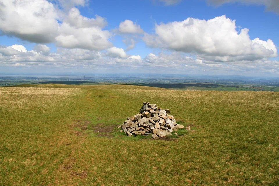
Meal Fell summit cairn and shelter.

A view back to Meal Fell from the path to Great Sca Fell.

Lowthwaite Fell on the other side of the valley. From here I could also see a couple of people then heading down the path from Lowthwaite Fell.

Skiddaw from the summit of Great Sca Fell. The path to Knott which is normally rather wet and boggy was dry as a bone today thanks to the small amount of rain we've had recently.

The Knott summit. That’s Blencathra behind and Lonscale Fell to the right.

Lonscale Fell and Great Calva.

High Pike and Carrock Fell.

A long distance view over the top of Great Calva to Esk Pike, Great End and Scafell Pike.

Lonscale Pike with Crinkle Crags and Bowfell behind. The peaks to the left are the Coniston Fells.

Beautiful view north west from Knott.

The path back up to Great Sca Fell.
Great Sca Fell summit again, this time looking North.

Meal Fell and Great Cockup.

Little Sca Fell summit cairn and shelter. This peak is not a Wainwright but is passed on the way to Brae Fell.
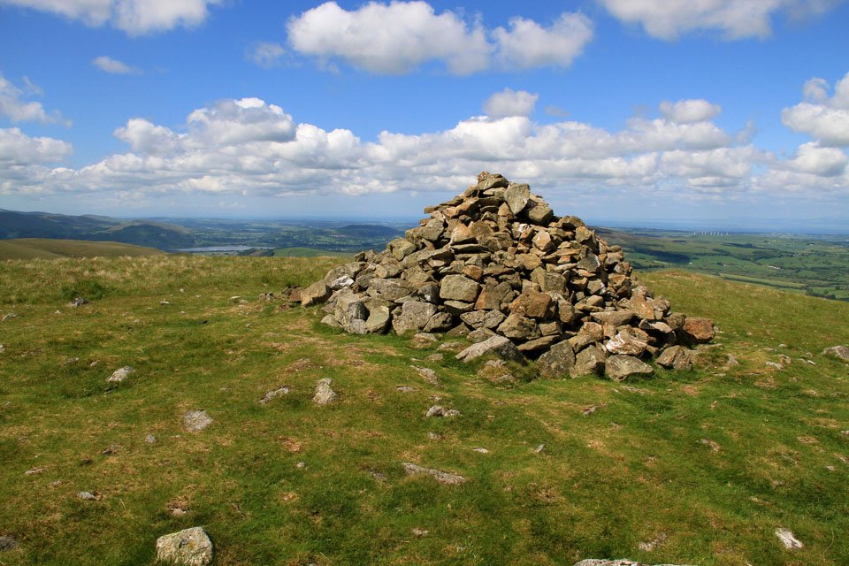
Brae Fell summit cairn.
Longlands Fell to the left, Brae Fell to the right and Aughertree Fell (pronounced Affertree) in the centre.

Longlands Fell summit cairn with Binsey and Overwater beyond.

Brae Fell gets more sunshine but Little Sca Fell gets none!

Great Cockup, Skiddaw and the North Western Fells.

A lovely view to Aughertree Fell from Longlands Fell.

Criffel across the Solway Firth.

A close up of Criffel about 25 miles away. The mountains to the far left in the distance are almost 60 miles away.

Overwater and Binsey.

I just had to get a photo of this stunning meadow just near Longlands.

A final view of Overwater and Binsey from the road.

Chapelhouse Reservoir hidden away behind the trees.