Swirl How via Wet Side Edge
Distance: 8.4km / 5.22 Miles
Ascent: 650m (2132ft)
Duration: 4 hours 10 Minutes
A walk up Wet Side Edge from Wrynose Pass to the summit of Great Carrs, Swirl How and Grey Friar.
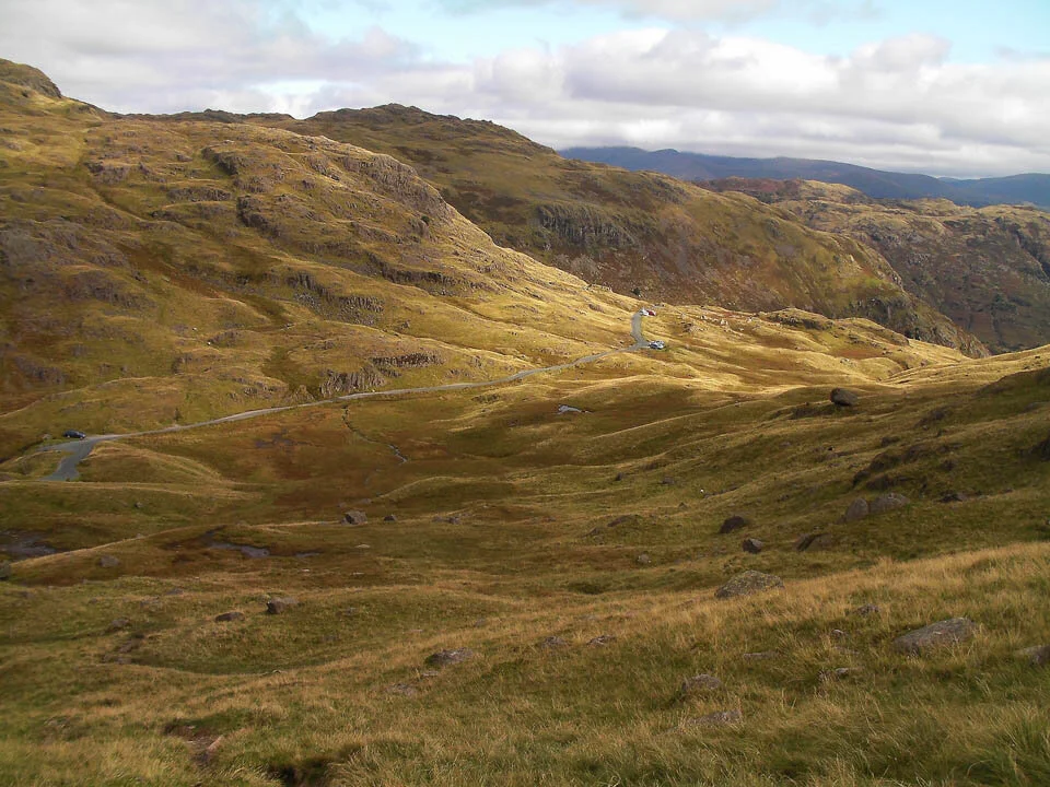
Wrynose Pass.

Lingmoor Fell.
Pike O'Blisco.

Cold Pike.

The view over to Hard Knott Pass, with Harter Fell on the left.

Harter Fell.

The wonderful Little Langdale Tarn.

Wetherlam.

Crinkle Crags.

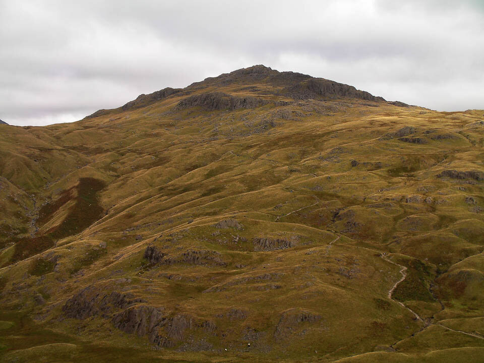
Great Carrs.

Greenburn and Little Langdale.

Swirl How.

Wetherlam and Black Sails.

Dow Crag.

Brim Fell and Coniston Old Man.

Harter Fell.

The Scafells.

Grey Friar - out last stop.

The memorial to the planes that crashed here.

Swirl How Summit Cairn.

The Lakeland fells from Swirl How.

Scafells now free of cloud.

Great Carrs.

Plane wreckage on Great Carrs.

The awesome Matterhorn Rock on Grey Friar.

The summit cairn on Grey Friar.

Scafells panoramic.

Harter Fell.

Black Combe from Grey Friar.

Dow Crag.

Three Shire Stone.