Coledale Horseshoe
Distance: 17.4km - 10.8 Miles
Ascent: 1450m (4756ft)
Duration: 7 Hours 30 Minutes
A long, sunny walk around Coledale taking in numerous Wainwright Fells.

Skiddaw from the start of the climb up to Kinn.

Bassenthwaite Lake and Binsey.

The path over Kinn and the summit of Grisedale Pike.
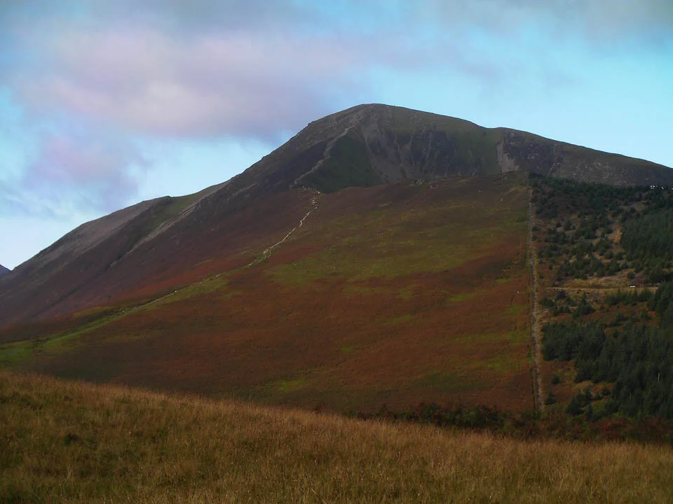
Grisedale Pike.

Thornthwaite Forest.

The view to the west coast from the summit of Grisedale Pike.

The Vale of Keswick.
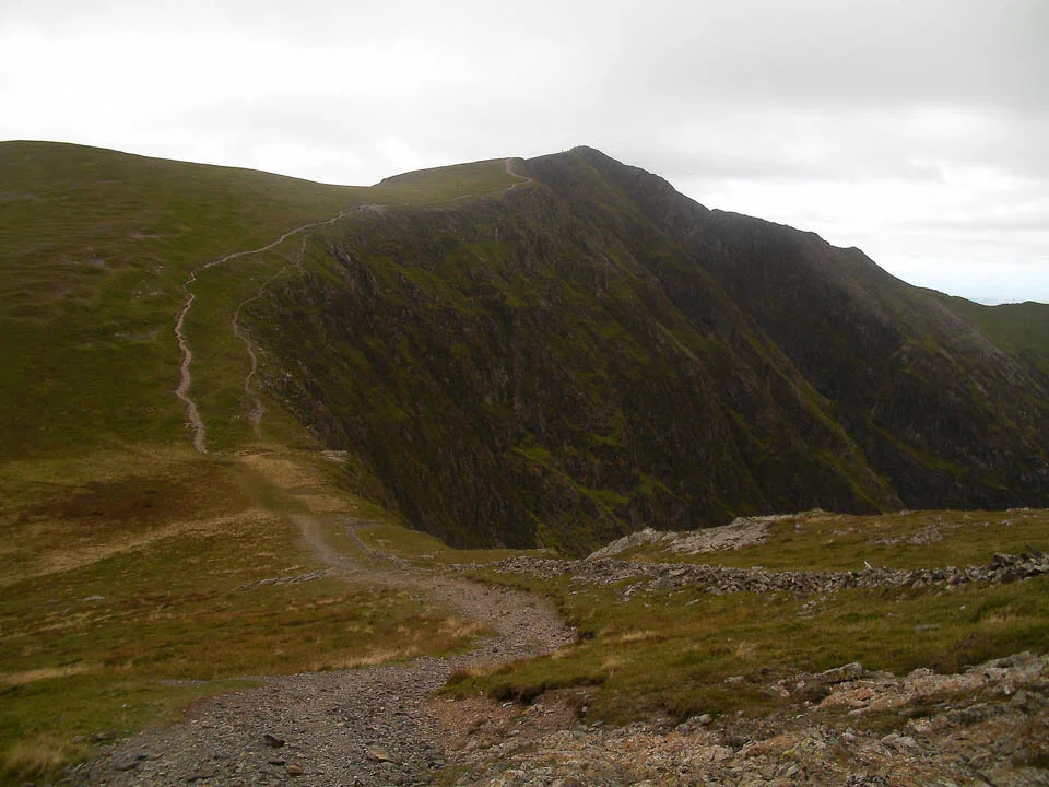
Descending Grisedale Pike following the obvious path up to Hopegill Head.

Grisedale Pike.

Hobcarton Crag.

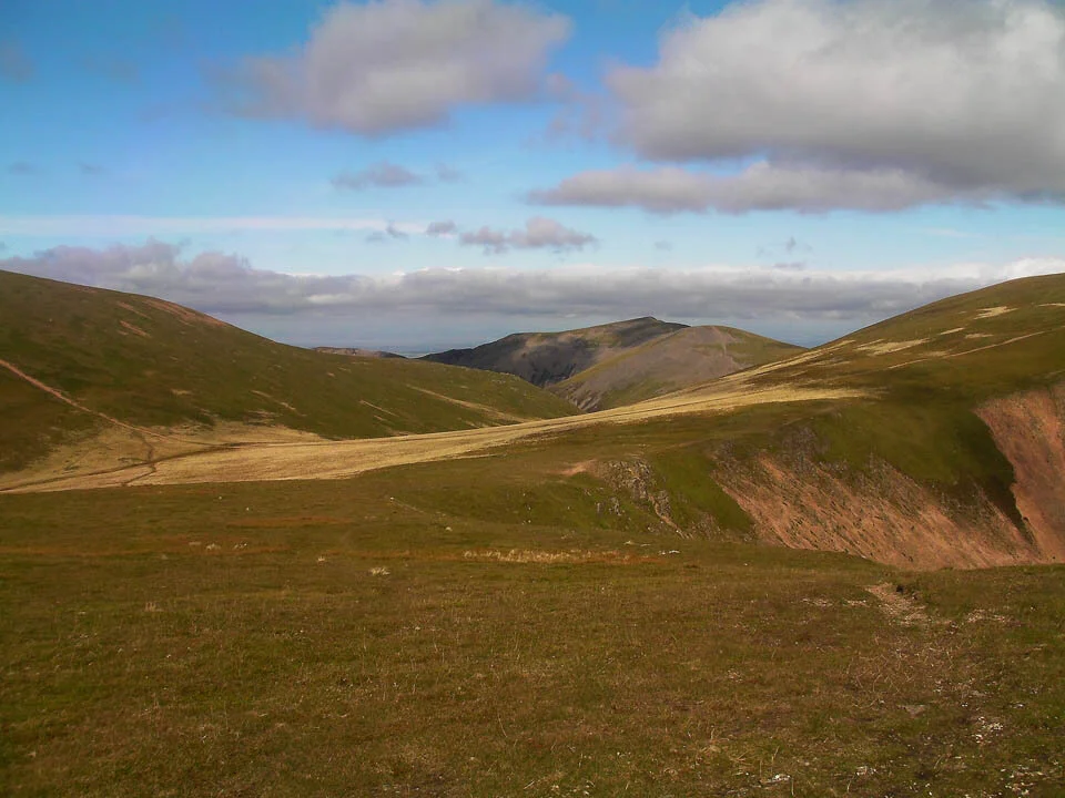
The view from Hopegill Head.

Crag Hill.
Following the rim of Wandope to head up to Crag Hill.

High Snockrigg.

Scar Crag on Crag Hill.

Blencathra from Crag Hill.

The path down to Sail.

Scar Crags and Causey Pike from Sail.

Sail summit cairns.

Grisedale Pike across Coledale.

Causey Pike.

Force Crag Mine.

Skiddaw now free from the morning cloud.

Derwent Water from Causey Pike.

Derwent Water and Rowling End.

Cat Bells from the base of Rowling End.