Stanage Edge
Distance: 14.2km (8.82 Miles)
Ascent: 622m (2041ft)
Duration: 4 Hours 20 Minutes
I was here at Stanage Edge only last week (1st May 2013) climbing but really wanted to walk the whole edge from north to south. I only missed out a short section on the northern end but the walk was still fantastic - even with the driving rain and strong wind!

All was sunny, warm and fairly clear when we set off from Hathersage this morning. The view here is over the rooftops of Hathersage.

The awesome Stanage Edge - one of my favourite places in the Peak District.

Sunshine over Mam Tor to the west.

A wide shot towards Castleton, Mam Tor and Lose Hill.

A view to Eyam Moor (with the masts on top to the right).

An ancient chambered cairn on Bamford Moor. I'm glad it was clear at this time as navigation across here could have been tricky with no definded path on the ground.

A view back to Bamford Moor.

Win Hill over Bamford Moor.

Old grinding stones. There were hundreds of these all along the base of Stanage Edge.

Some of them were very happy indeed! I was walking this route!
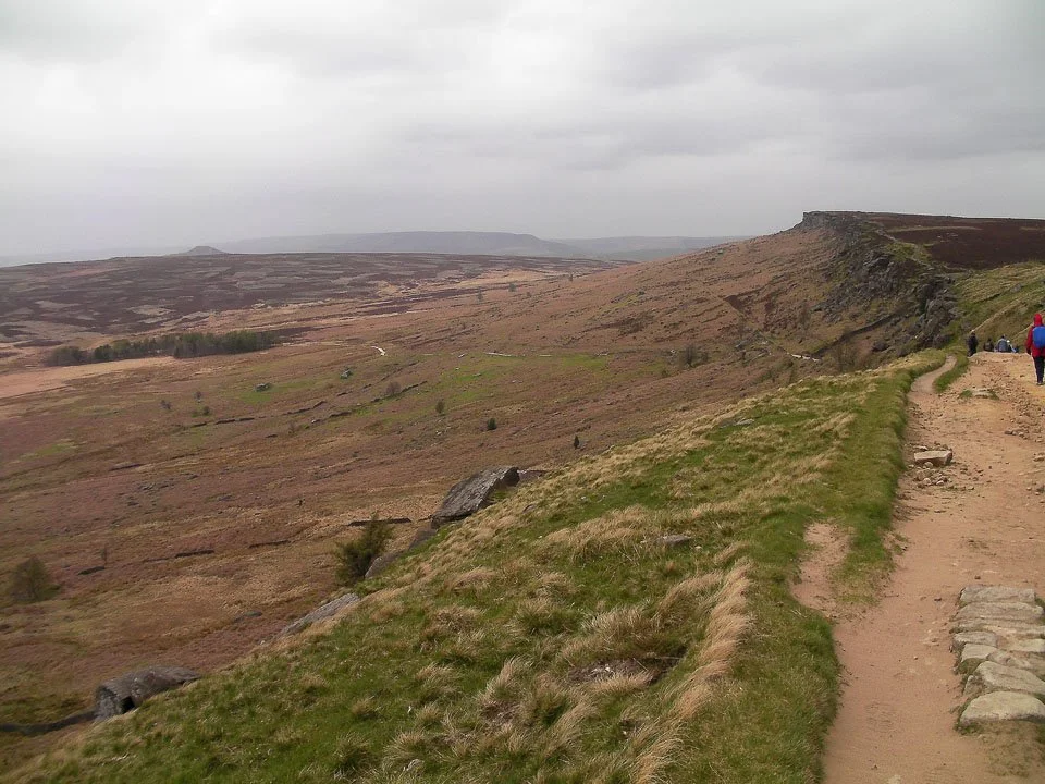
Half way down the edge there is a track leading up so for the last half I was walking along the top of the edge. Towards the end of the edge I was looking out for all the climbs I did last week.

Stanage Edge.

Robin Hoods Cave on Stanage Edge.

Apologies for the great big blob of rain on the lens - this is one of the Severe climbs I did last week.

Stanage Edge from near the car park just below.

Stanage Edge again - the Piano Keys in the centre was the start of another climb I did last week.

In Hathersage church yard is this base of a Saxon Cross - which probably predates an enclosure just 5 minutes away called Green Camp which was a Danish encampment or Norman Ringwork.