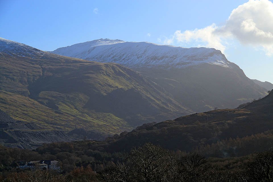
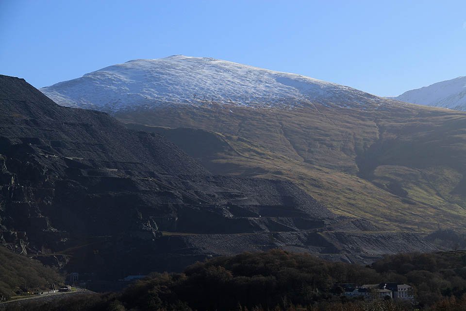
Snowdon
Distance: 21.0km (13.04 Miles)
Ascent: 1487m (4879ft)
Duration: 7 Hours 11 Minutes
I really wanted to climb Snowdon today and I know that the Llanberis Path is the most boring of the routes up to the top, the amount of snow and the conditions meant that I didn't feel safe completing the horseshoe from the top of the pass to the north. Best saved for a nice clear summers day!
Elidir Fwar, Y Garn and Glyder Fawr - Three of the Welsh 3000ers around Llanberis.
Glyder Fawr.
Y Garn.
Elidir Fawr.
The 328m summit of the Iron age Fort near Llanberis.
The summit shelter.
A stunning view north.
A stunning view north west towards the coast.
Lots of old mine workings around here!
And many of the buildings still standing.
The Iron Age Fort sits on this small prominentry.
Garnedd Ugain and Snowdon free of cloud!
The view across to Snowdon.
Snowdon Railway.
A view across the valley to Moel Eilio which has some snow on it.
A close up of Moel Eilio.
Well into the snow now.
Llyn Du'r Arddu (The small tarn) and Mynydd Mawr in the background.
The third station at about 700m.
Looking down to the Pass of Llanberis.
Now starting the steepest section up to the first big peak of the day.
A view to the Glyders across the Pass of Llanberis.
Entering the thick cloud and the wind was starting to pick up a bit.
People? Or a rocky outcrop?
Rocky Outcrop - I'll head for that point.
Time for a little rest by the rock and a superb view down the ridge to Llanberis.
Interesting ice formations on the rock with Glyder Fawr and Glyder Fach to the left.
An arctic scene with lots of spindrift.
Nice to see them prepared - on the way up I only passed one group of four people who had the right gear (Crampons and Ice Axe) - In total I think I saw about 200 people heading up the Llanberis Path... A little more on that later...
The trig column on Crib Y Ddysgl (Garnedd Ugain) at 1065m.
Awesome ice formations on the trig col.
Another rest as I head across to Snowdon.
Thats what you can see of the summit station and cafe.
Snowdon summit....
And the cloud breaks for breathtaking views all round!
A view along the ridge to the 893m summit of Y Lliwedd.
Snowdon Trig Column.
You can just make out the Watkin Path down on the left.
Summit cafe covered in ice and snow.
Snowdon Summit with the slightly lower summit of Garnedd Ugain behind to the left.
The summit cafe - not open today!
Long icicles on the posts by the cafe.
Amazing views south from the descent.
And a view to the east to Moel Cynghorion. The original plan was to descend down towards the tarn on the right and then ascend Moel Cynghorion but I decided not to as there wasn't enough time.
Garnedd Ugain with an impressive cornice along the edge. Keep well away!
I mentioned earlier about people being unprepared... These two were just that! The snow up here was frozen solid so crampons were a MUST for any form of grip (I did see a group of walkers up here on the way to the top that all had crampons and ice axes bar one who was sliding all over the place and falling over). Neither of these two had any winter equipment with them that I could see. And it just so happens I saw something later on towards Llanberis that made me think of these two and also something I read the day after...
Snowdon Railway poking through the snow.
Cwm Brwynog (I guess thats the ridge? or the crag?)
Spindrift made this traverse more exciting. There was a monstrous drop behind me!
See... A big drop! And I wasn't walking on a ledge or anything! Crampons and Ice Ace alone were keeping me firmly fixed to the ground!
Now back near Llanberis with a view back to Moel Cynghorion. Whats that up there?
It turns out Mountain Rescue were looking for two walkers where one had fallen through a cornice and fallen about 1000ft. Mountain Rescue stated that the walkers were not prepared for the conditions and winter walking gear (crampons and ice axes) are a must!
Now for a little look at Dolbadarn Castle.
Outlines of old buildings.


