Silver How
Distance: 13.2km (8.2 Miles)
Ascent: 708m (2323ft)
Duration: 3 Hours 42 Minutes
From what I can remember the weather was similar last time I went up Silver How...

This is Allan Bank on the way round to Silver How. It was just past here that it started raining.

Here comes the rain...
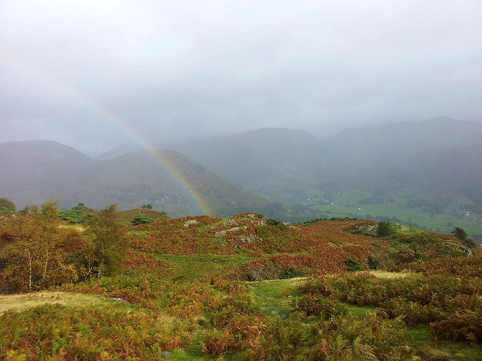
Brief spell of sunshine and one of the many rainbows seen today.

Silver How summit cairn.
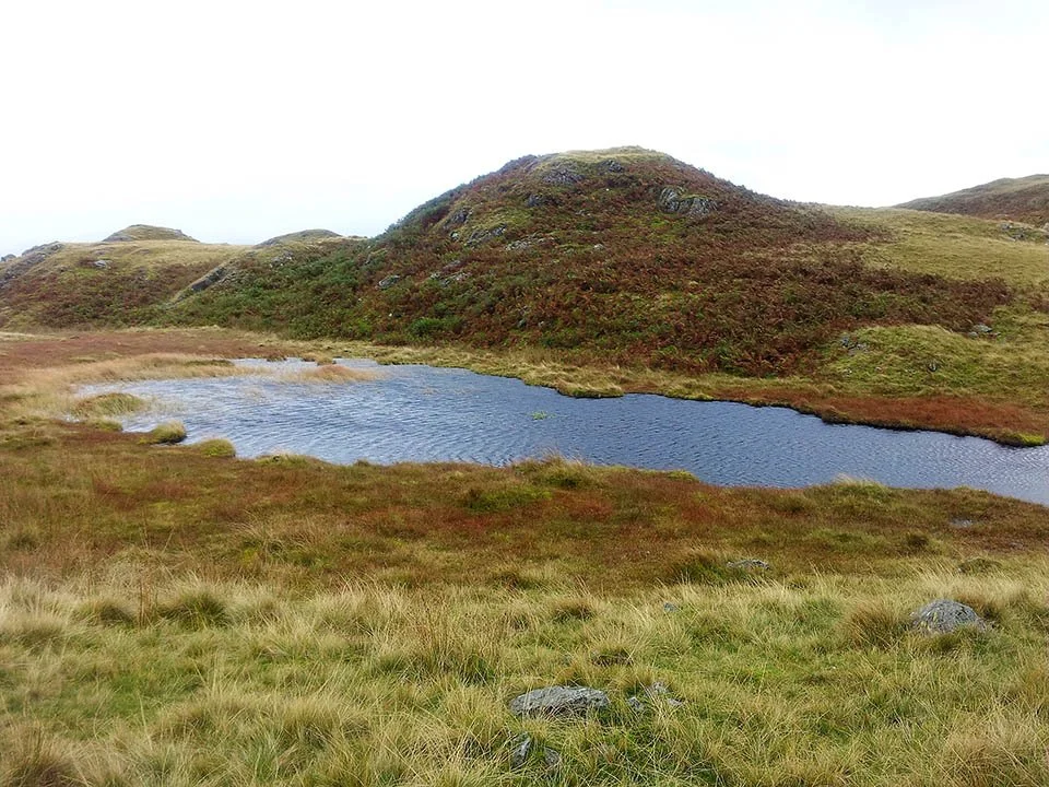
Small unnamed tarn near Brigstone Moss... How about... Brigstone Tarn?

Doesn't a bit of sunshine make all the difference!

Simply stunning.
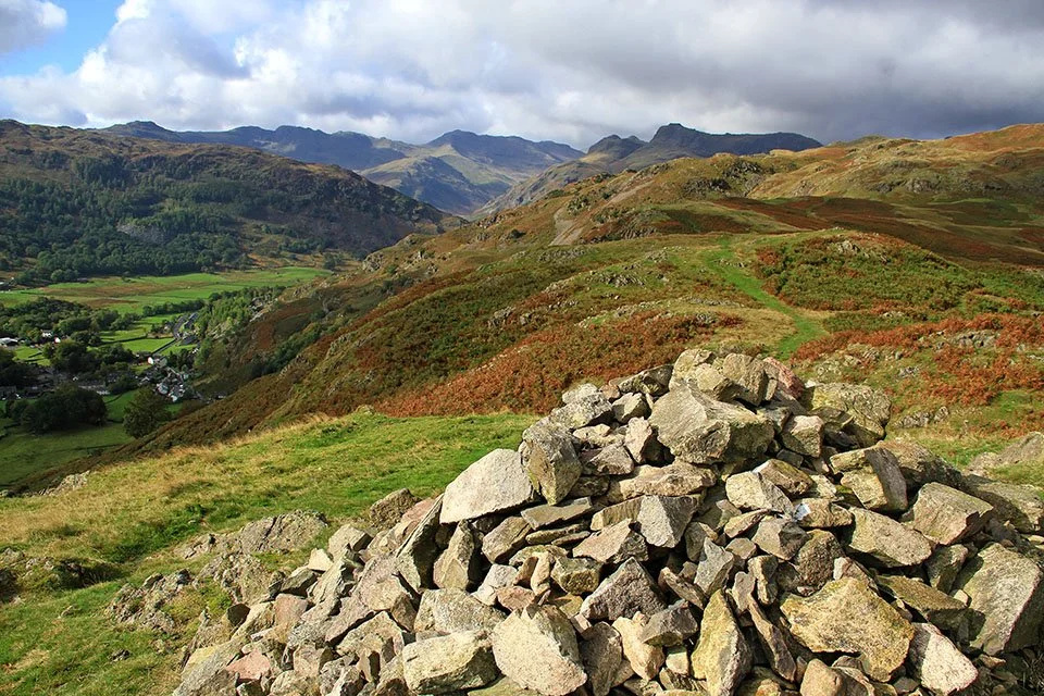
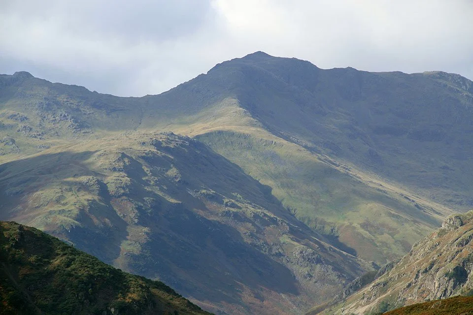
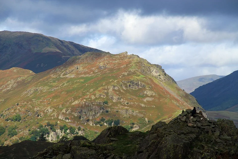
A mini summit with a mighty view. Thats Crinkle Crags and Bowfell on the skyline.
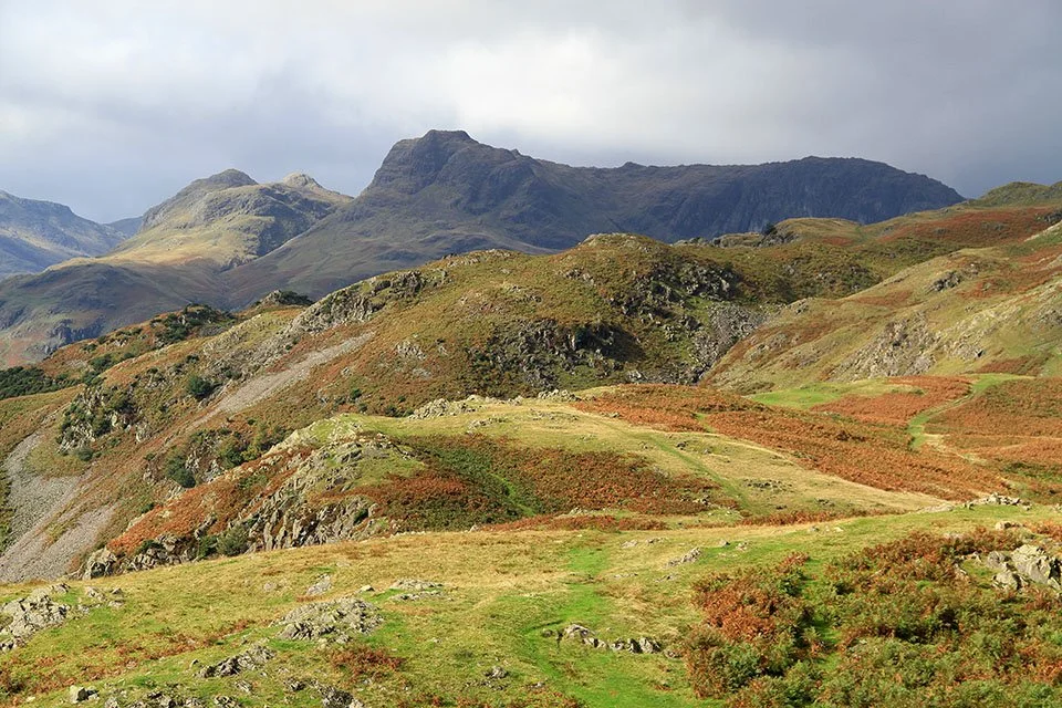
The Langdale Pikes.
Bowfell.
Sunshine and blue skies over the Coniston Fells.
The Vale of Grasmere with Fairfield in the centre.
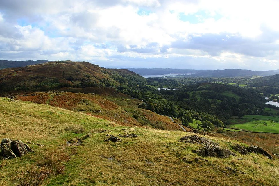
The view to Windermere with Loughrigg Fell to the left.
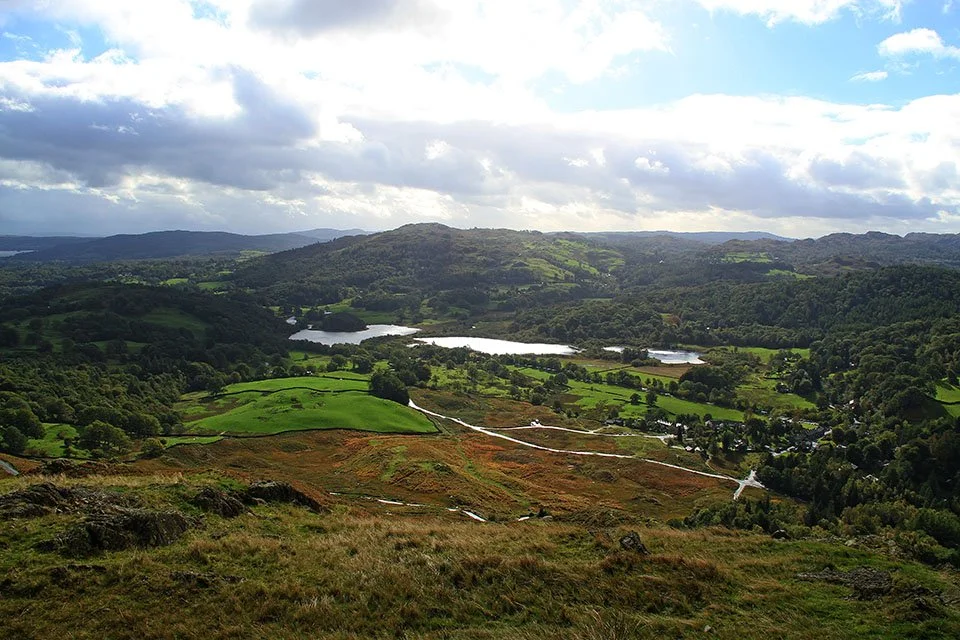
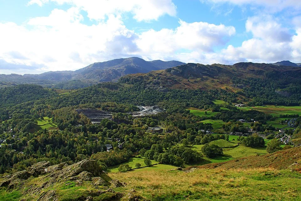
Elterwater... or for those who have been here a while, Eltermere.
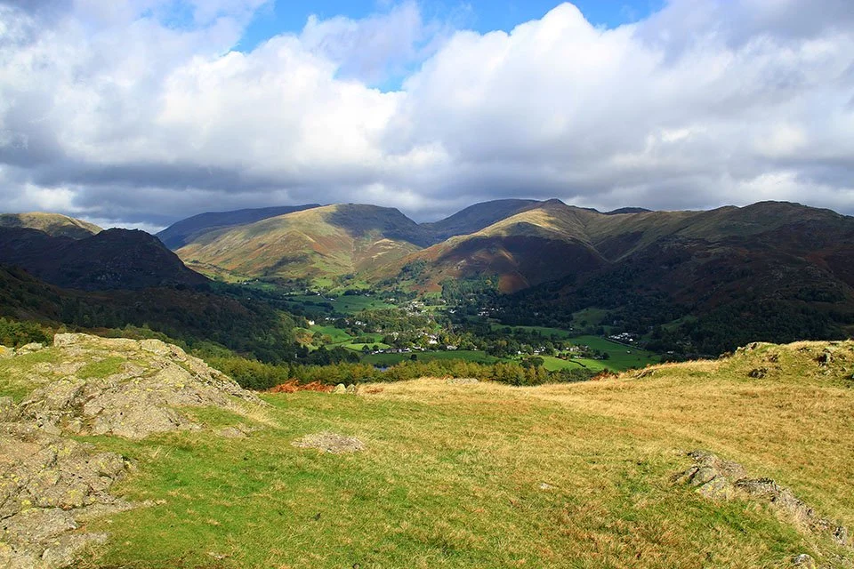
Helm Crag.
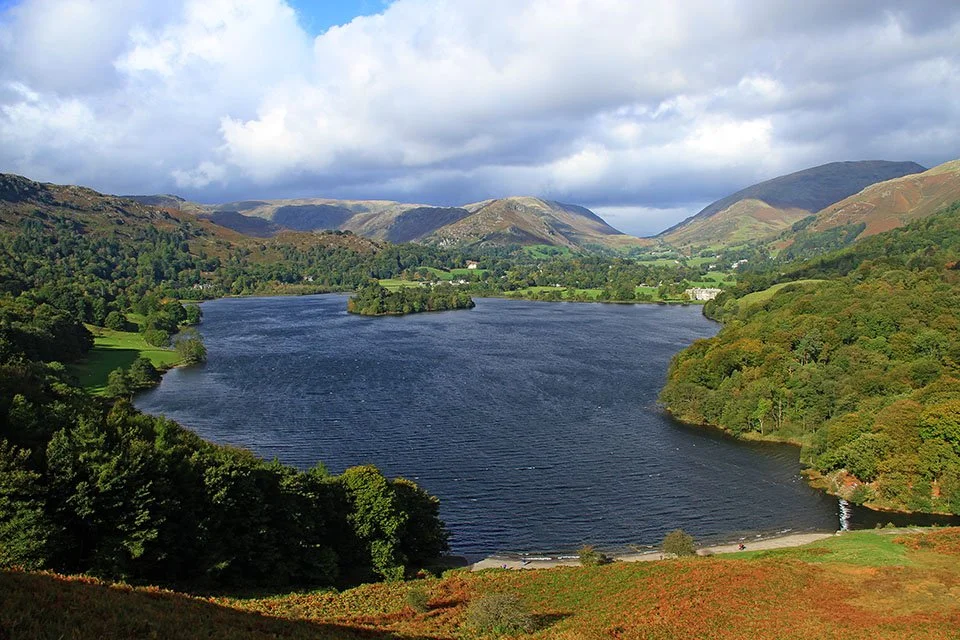
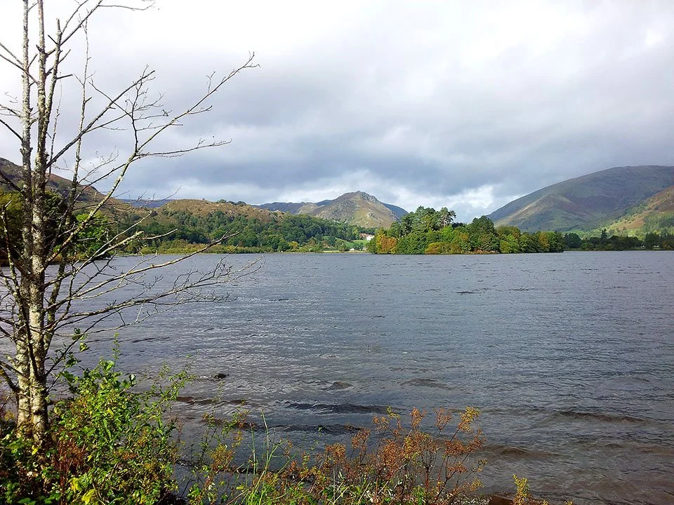
A stunning view of Grasmere from Loughrigg Terrace. Those clouds look a bit dark and they are heading this way...
Heron Pike and the rest of the western side of the Fairfield Horseshoe.
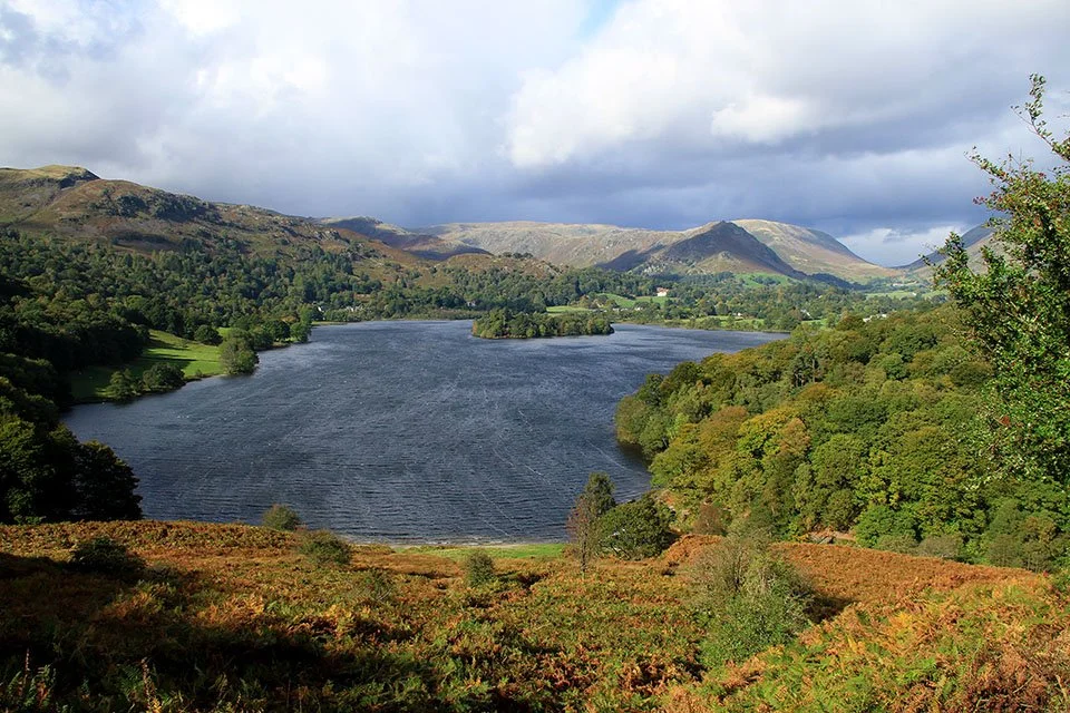
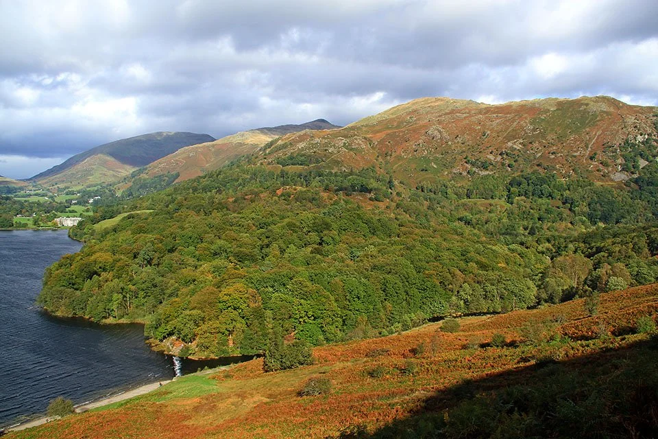
Grasmere.
Here comes the rain. By the time I got to the waters edge it was tipping it down!
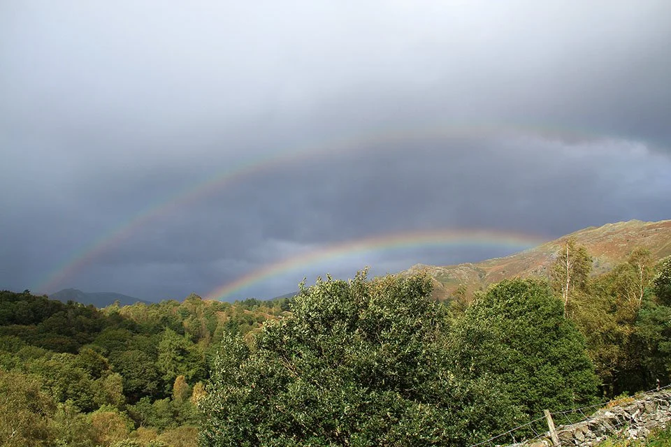
Double rainbow.
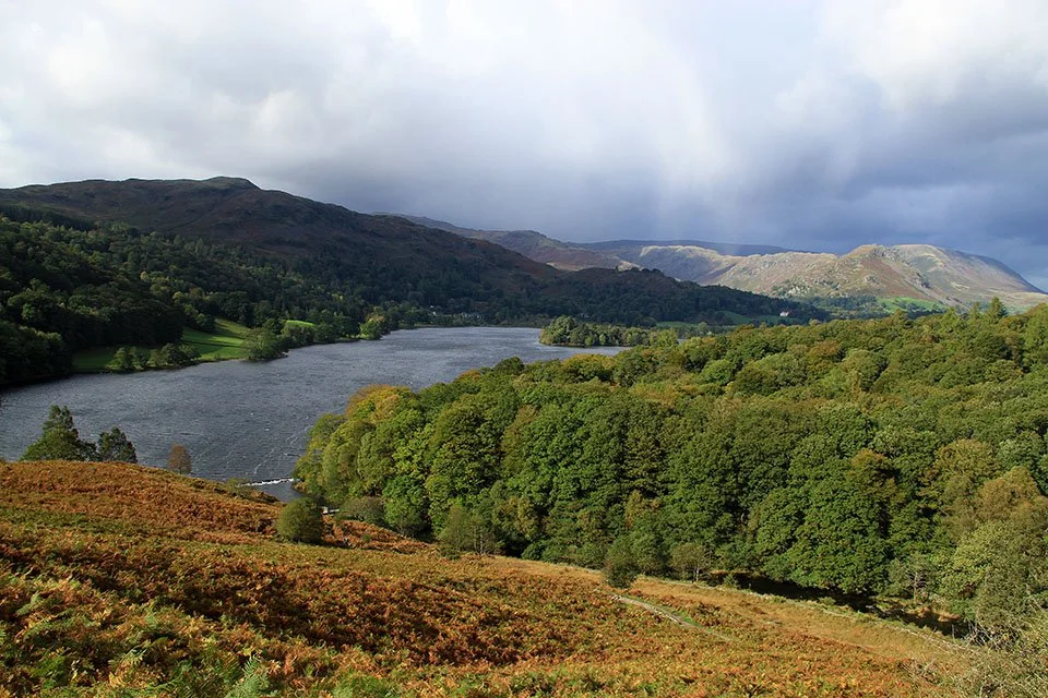
Last shot over Grasmere to Helm Crag.