Scafell Pike & Great End
Distance: 15.5km (9.63 Miles)
Ascent: 1253m (4111ft)
Duration: 5 Hours 25 Minutes
Its been nearly two and a half years since I was last up on the roof of England - and even though there were no views from the very top, it was a perfect day for a walk like this...

The slopes of Middle Fell and Yewbarrow from the very start of the walk.

Very cloudy above showing some of the crags on this side of Scafell Pike. I was hoping so much that it was going to clear when I got up there!

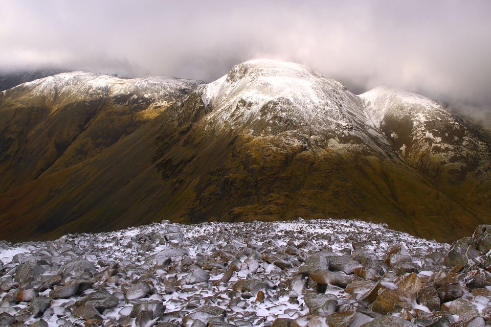
Great Gable.

Kirk Fell.
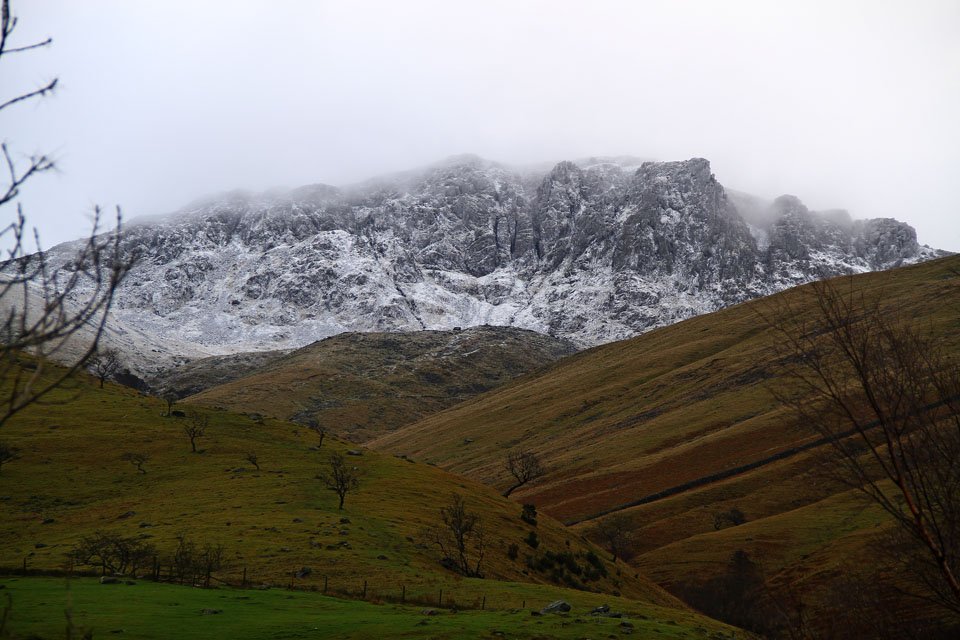
Crags on Sca Fell.

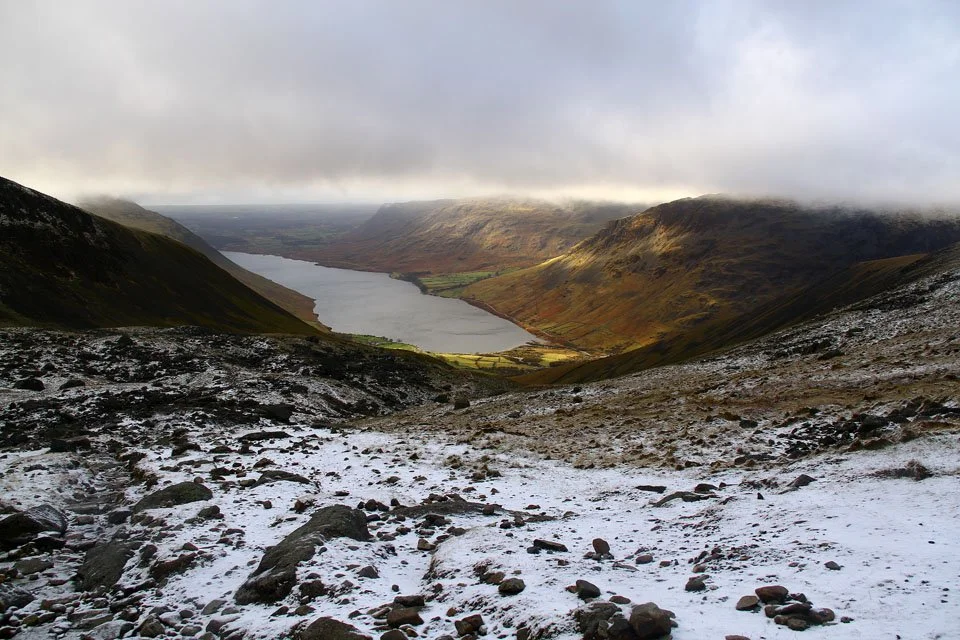
Wast Water and Middle Fell. The rocky notch in the centre of the photo is Buckbarrow. Time to put the camera away as its about to rain...

And the camera is back out now as I climbed higher. The fells in view are Buckbarrow, Middle Fell and Yewbarrow.

A close up of Wast Water, Buckbarrow and Middle Fell.

Scafell Crags.

Mickledore surrounded by misty crags.
A last view down to Wast Water as the cloud starts to descend.


A brief view around Lingmell to Great Gable.

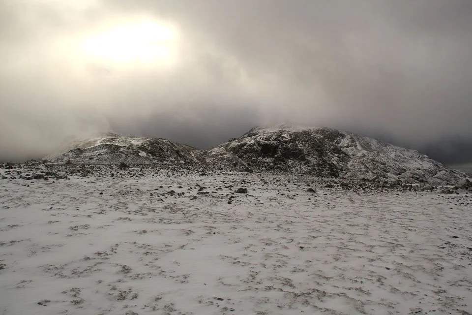
A frozen cairn on the way up to the Pike.

Scafell Pike summit in mono. I was lucky enough to have the summit completely to myself.

The trig. column on Scafell Pike.

Descending towards Broad Crag (left) and Ill Crag (right). I didn't summit either of them, instead choosing to follow the cairned route towards Esk Hause.

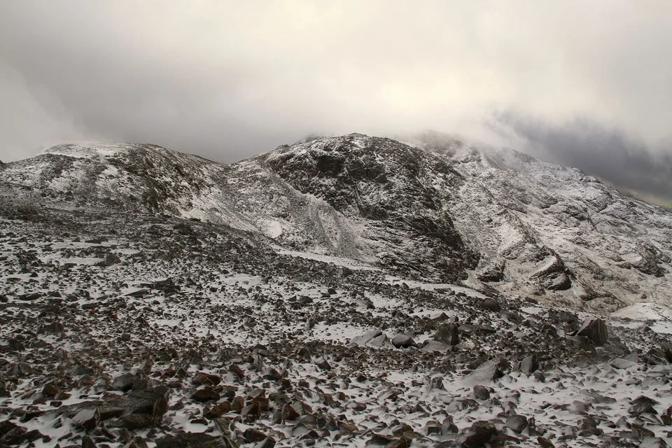
The shelter on one of the summits of Great End.

The north west summit cairn on Great End and the cloud has cleared to give me a view down to Great Gable and Kirk Fell.
An even clearer view now with an almost cloud free Great Gable.

Close up of Great Gable.

Broad Crag and Lingmell.
Ill Crag (in the cloud), Broad Crag backed by Scafell Pike, which is where I've just come from.

Scafell Pike summit just visible through the mist.

The true summit of Great End.

And again, this time showing my route to Esk Hause, and also Esk Pike and Bowfell.

The beautiful Langdale Pikes. Sean McMahon from StridingEdge.net was over there today.

Derwent Water and Keswick over little Castle Crag.

A panoramic shot over Esk Hause. Allen Crags, Esk Pike, Bowfell and Ill Crag as seen from the descent of Great End. Click to see larger version.

Great End from Sprinkling Tarn.

And the lovely Sprinkling Tarn.

On this walk, the tarns seemed to be acting like buses, none for ages then two come along at once. The second being Styhead Tarn pictured.

Broad Crag and Lingmell. The great scar down Lingmell is Piers Gill.

A truly amazing scene, the ravine is more like a canyon its so deep!

And its not the only one about, this is Skew Gill up Great End.

Great Napes up on Great Gable.

Early evening sunshine on Wasdale Head as I descend Moses Trod.

Tall waterfalls along Greta Gill in another deep ravine.

As I was approaching Wasdale Head the sun was blazing on Great Gable so I stopped a moment to get an HDR of it...

…and another one! It looked stunning and was the only real sunshine on the whole walk.