Mt. Toubkal, Morocco
The first day of a multi day trek through the High Atlas Mountains in Morocco booked with Exodus. Today was quite a leisurely day and was more of a stepping stone to gain higher ground tomorrow.
Day 1: Imlil to the Azaden Valley
Distance: 14.2km (8.82 Miles)
Ascent: 1000m (3281ft)
Duration: 5 Hours 15 Minutes

Only minutes into the trek and we are already gaining some height. In fact we started at about 1400m and had to ascend up to the Tacht Pass at just over 2000m so we had 600m to gain straight away!

Farming on the small terraces on the side of the valley. They were separating all of the barley they had just cut down I think...

Lots of small houses on the hillside.

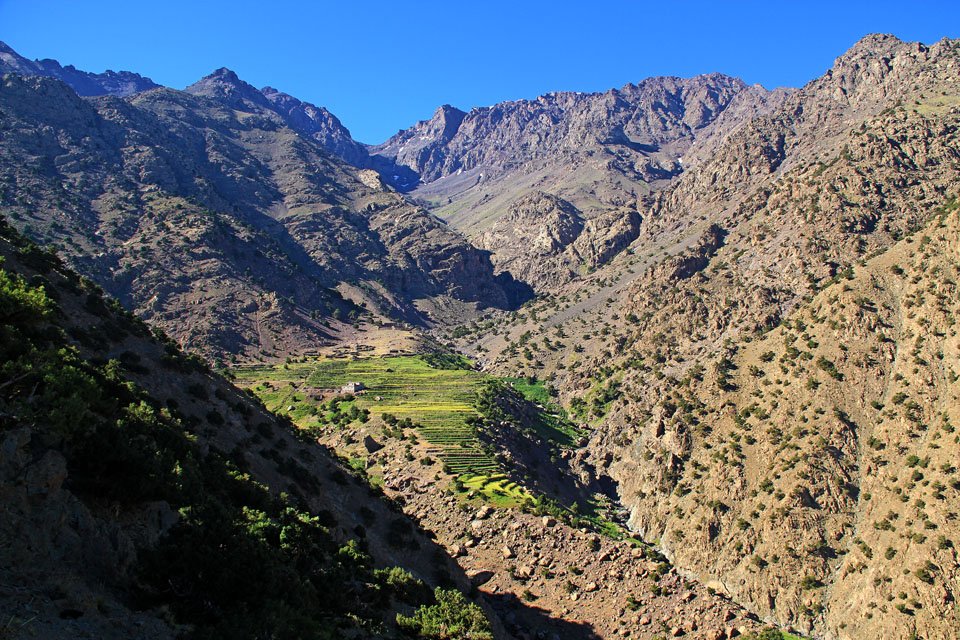
Cultivated terraces down in the valley surrounded by high peaks.

The valley we followed up to the Tacht Pass.

This is John. He (actually its a 'She') thought it funny to poke his tongue out at all of us when we stopped for a short break in the shade.

This small cairn marks the top of the Tacht Pass as just over 2000m.

Quite a deep cut valley next to the path we followed down the valley.

This is the first major view we got on the trek. This is the Azaden Valley with its lush green floor and wild barren mountains. Behind the clouds at the very top of the valley is Tazaghart standing at 3,843m (12,608ft) and just to the left of it is a peak just over 4000m.

Its all clouded over now (this was the only time on the entire trek it clouded above us...)

Walking through Berber Villages along the Azaden Valley.


More cultivated terraces at the head of the valley.

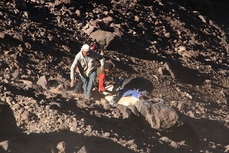
Well this wasn't expected! Camp set up and food on the go! I must add that the group assisting us were tremendous and did a fantastic job.

Camp was near a stream so I couldn't help but go get some photos. Time for a rest and see what tomorrow has to offer!
Day 2: Azaden Valley to Mountain Camp
Distance: 11km (6.83 Miles)
Ascent: 1917m (6289ft)
Duration: 6 Hours 35 Minutes
Day 2 and its time to gain some proper height! The distance to the next camp was only 8km with a height gain of about 1500m so it was uphill nearly all the way! Once at camp me and Gregg decided to head off and climb a nearby peak which was at about 3300m.

Just a few minutes from camp and looking to the head of the Azaden Valley. Tonights destination is up in the top left of the photo just below the peaks you can see.

Cultivated terraces growing crops like Barley.

Low cloud over to the north in the direction of Marrakech.

An interesting tree along the path.

Cant quite work out what the cloud is doing - it looks like its go away from us now. Yesterday we passed the village and radio tower you can see.
More cultivated terraces at the head of the Azaden Valley with peaks approaching 4000m towering above. Our route took us through the farm and through a ravine in the centre of the photo.
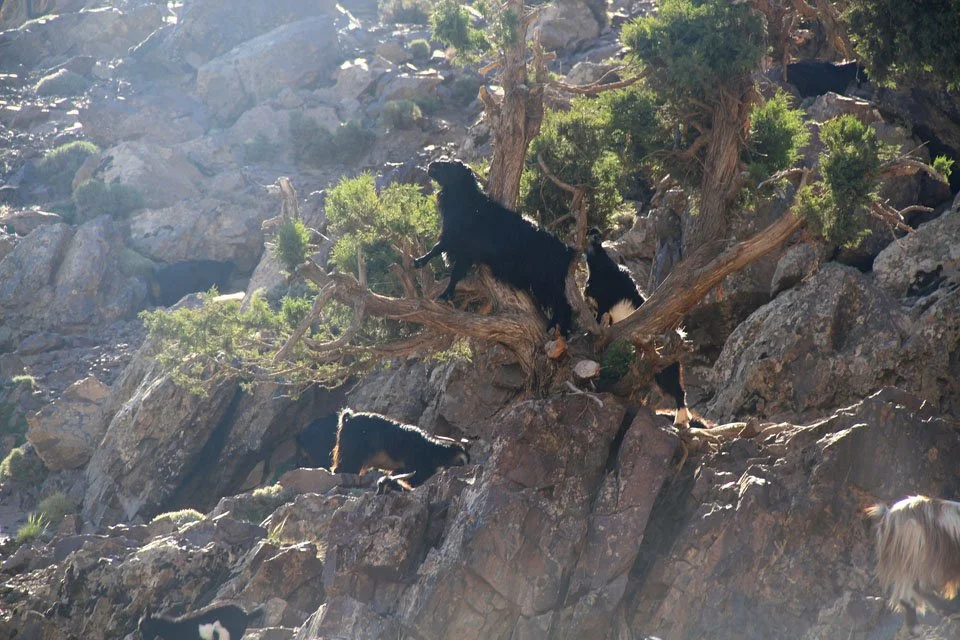
Mountain goat climbing trees!

A small waterfall along the path through the ravine.

A rainbow at the bottom of a much larger waterfall. I think this one was about 150ft+ tall.

A stunning waterfall and perfect stop for a rest.

A wide shot of the waterfall.

I think that mountain is called Adrai Adj and is about 3129m. We were almost at camp by this point and it looks like the cloud is really starting to cover the valley floor.

This is where camp was set up (that is the toilet tent!) and the path you can see going round to the left is the one we are taking tomorrow. It was only about 12:30 by this point so me and Gregg went off on another little walk to the rounded peak in the centre of the photo next to the stream and another over to the right.

Home for the night - couldn't have chosen a better spot myself!
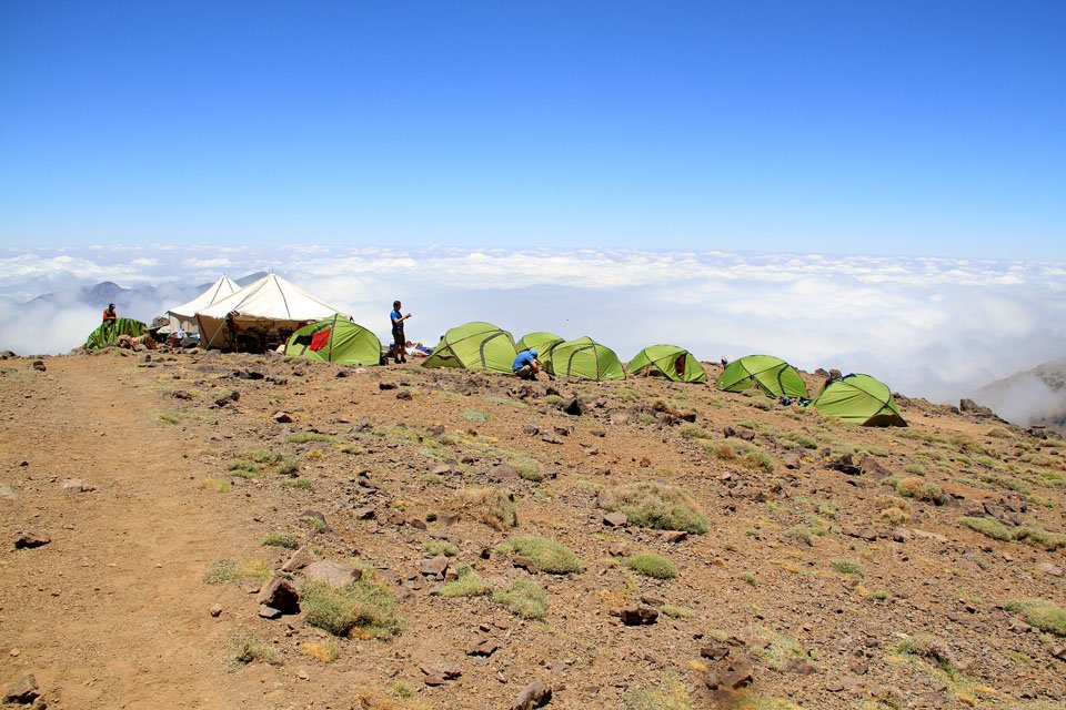
Well what an amazing view of the camp and the ocean of cloud below us! Wonder if it will be like this for sunset?

This is the view down to camp from the first little rounded peak on todays optional walk.

Close up of camp.

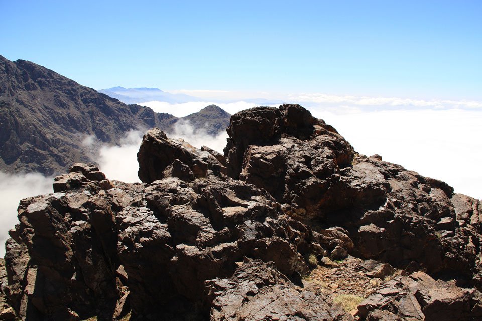
The summit rocks on this unnamed peak. I cant seem to find a good map of the Atlas Mountains to find out what this little peak is called!

Gregg overlooking the fantastic view.

My handprint! That makes me the first in the group to touch the snow!
he very top of the second unnamed summit on todays optional. I must say that the view from here was absolutely spectacular with several peaks to the west about 30 miles away and standing at about 3600m.

Mountains in the mist - a view spanning 30 miles.

This peak has a similar shape to Catstye Cam in the lakes, although this one is 3.5 times higher!

Immense crags around tomorrows path - you can see countless zig-zags ups the pass in the centre.

A panoramic shot taken on the way down.

The sun is starting to set and the mountains are changing colour.

From brown to orange...

...and orange to red...

The sky and ocean of cloud after sunset - Sorry for no photo but I was shooting a video of the whole thing which you will be able to see soon once I have cut the whole thing together!

Peaks disappearing into the mist and cloud.

One of the major shocks this evening was how bright the moon was. It was easy to see about without a torch.

Silhouettes at sundown.

Marrakesh about 40 miles away.

Time for a bit of night-time photography!


It was so much fun taking these pictures - this one is on a 30s exposure and I managed to capture three shooting stars darting across the night sky! I was hoping to capture the Milky Way but the moon made it too bright I think. Toubkal Base Camp tomorrow!
Day 3: Mountain Camp to Toubkal Base Camp
Distance: 8.63km (5.36 Miles)
Ascent: 1096m (3596ft)
Duration: 5 Hours
Starting off at 3000m above sea level today, we headed along a fairly level path to a pass and gained another 600m to an altitude of 3600m which is the highest I have ever been. At the top of the pass I summited a peak just off the path and we also had our first view of Toubkal and what a mighty mountain it is!

Starting todays walk in the early morning shade before the sun rises high enough in the sky. The valley you can see heading away from us is the one we walked down yesterday and the day before.

Layers of mountains - the one in the foreground is about 2 miles away, the background peaks are about 30miles away!

A wider shot showing the peaks in the last photo and also our path at the bottom from camp.

The peak me and Gregg summited yesterday.

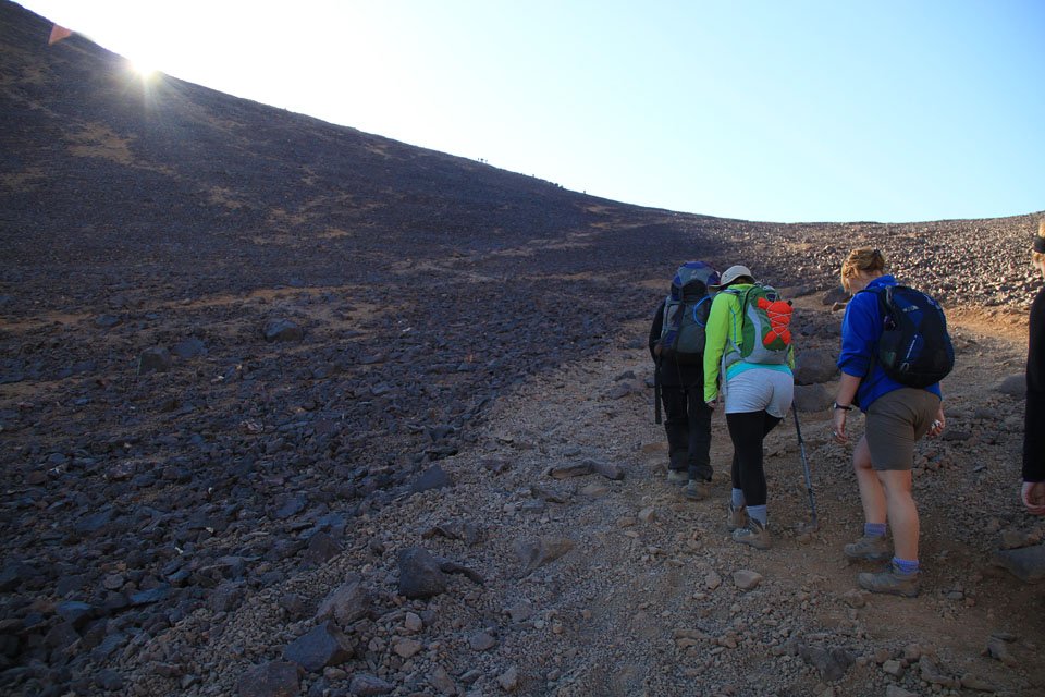
Almost endless amount of zig-zags later and we are still heading up!

Stunning views west along the Atlas Mountains.
John had a bit of a tumble when part of the path collapsed underneath her but she was Ok after a little bit of help up.

Nearing the top of the pass and the sun in shining.
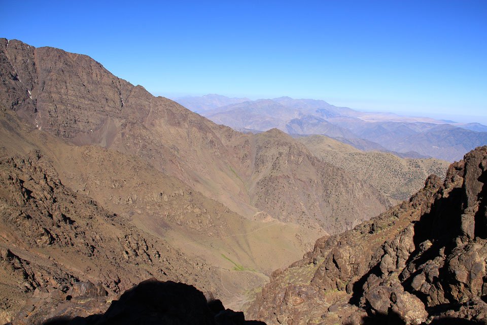
Amazing Atlas Mountains.

The view from the peak that I scrambled across too - the ridge (although short) was very similar to Sharp Edge on Blencathra except the drop on either side was much higher!

The peak along the rocky ridge.

A Panorama of the High Atlas Mountains.

Mountains way off in the distance - these are about 1050m high and about 60 miles away.

Our first view of Mt Toubkal from the top of the pass.

Toubkal Massif Panorama

A panorama in the opposite direction looking towards the north to Marrakesh.

Close up of Toubkal summit with the obvious structure on the summit.

Yep! Thats where we will be tomorrow!!
The view east along the Atlas Mountains.

Imlil down in the valley to the north east.

Toubkal.

Ouanoukrim.

Toubkal and Ouanoukrim.

The Toubkal Refuge and base camp for the next 2 nights. Time to have an afternoon off (although I would have liked to do another optional peak) but nothing can compare to Toubkal tomorrow!
Day 4: Toubkal Basecamp to Mt Toubkal Summit and back
Distance: 8.22km (5.11 Miles)
Ascent: 1301m (4268ft)
Duration: 6 Hours 30 Minutes
It was a nice early start today to get to the summit of Toubkal before the sun became too intense and although it was a bit of a slog up and down the views were more than fantastic!

Most of the ascent was completed in the shade. This photo is of the other side of the valley with a series of peak at about 3900m.
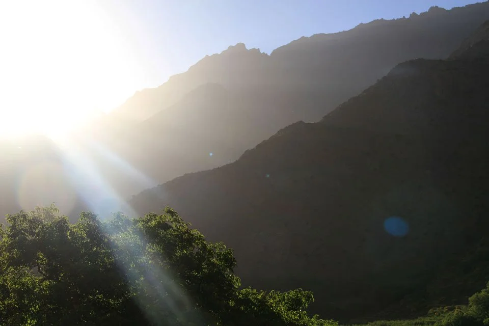
The sun about to break over the ridge.

A view back down the zig-zag path to the surrounding peaks. The sharp point on the right looks like a photographic error but it isn't - it's actually a very sharp bit of rock!
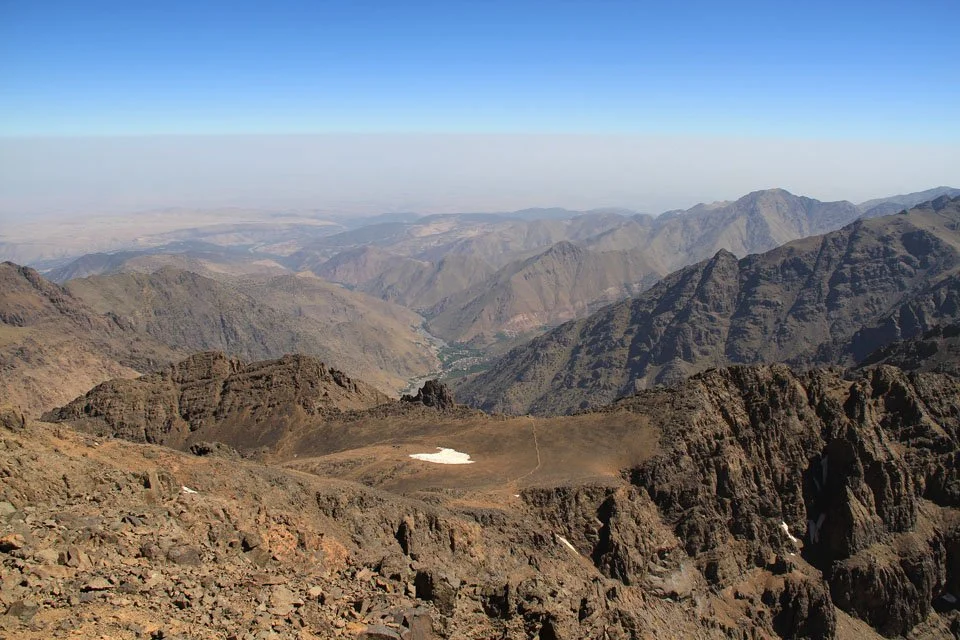
Now at the top of the ridge which heads straight to the summit and this is the view down the other side to the Anti Atlas Mountains.

We are almost at 4000m here and the rocky peak over there is a lower subsidiary of Toubkal.

Layers of mountains towards the Anti Atlas Mountains. The highest point on the horizon is about 3300m above sea level and the highest point in the Anti Atlas.

Enjoying the amazing views from the ridge.

Ouanoukrim.

Toubkal summit seen ahead!

The amazing view east along the Atlas Mountains.

Ouanoukrim from Toubkal.

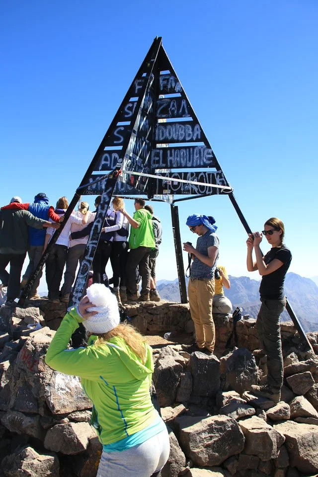
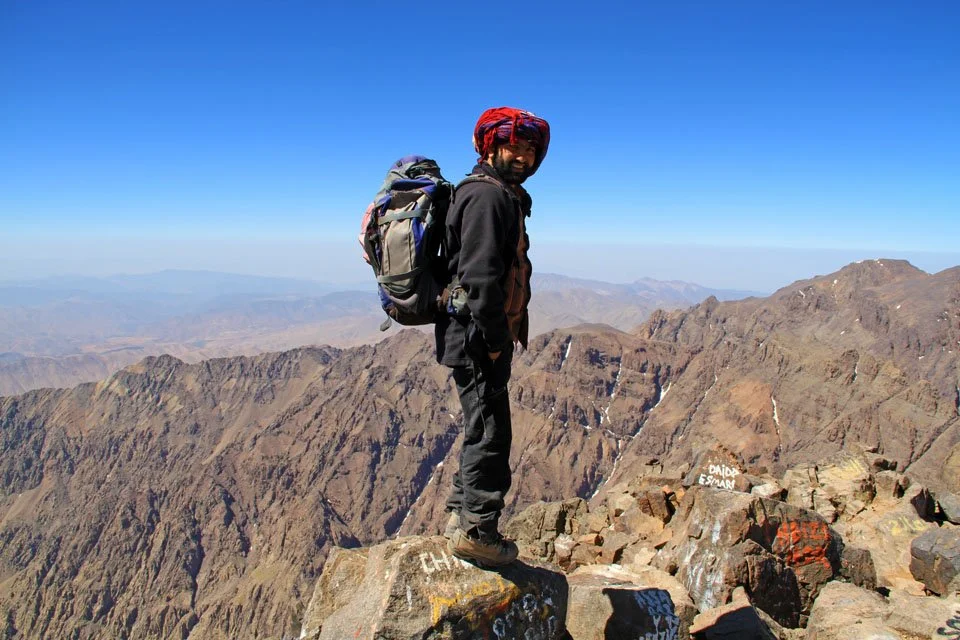
The summit of Toubkal.

Celebrations for the highest peak I've ever summited!
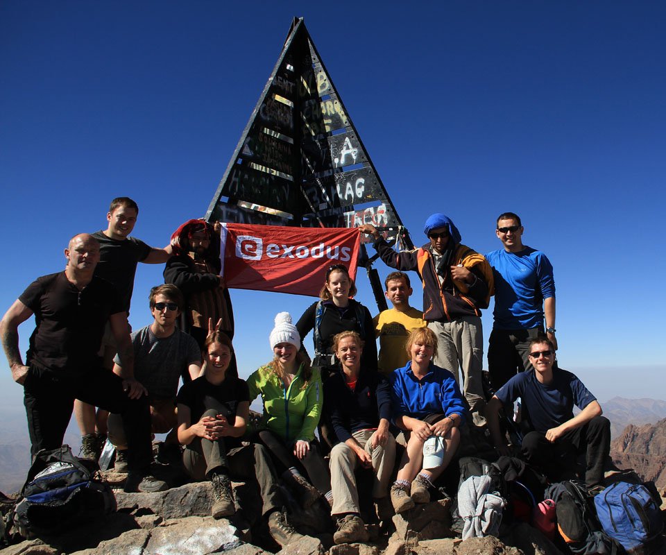
Our group there was: Ken, James, Andrew, Abdullah, Kate, Dot, Vicky, Mette, Grzegorz, Trudi, Me and Tim. Jo who was on the trip was too ill to join us to the summit.

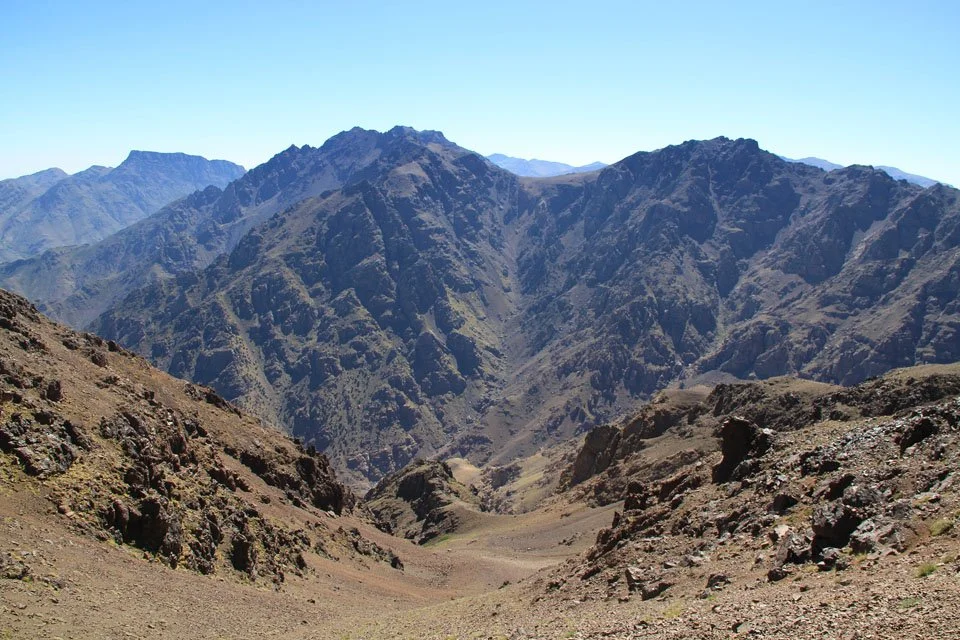
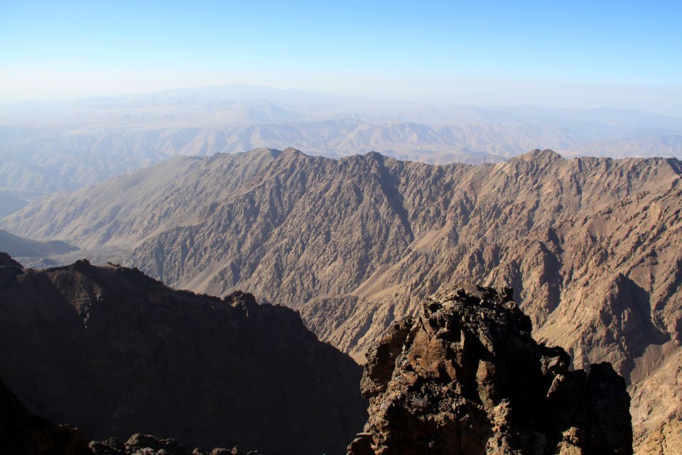
The Atlas Mountains.

A 3600m mountain about 23 miles away.

Adrar n Dern at 4001m.
The view north to Imlil. We will be staying down there tomorrow night with great views back to here.

Time to sit down and take it all in.
Out guide - Abdullah.

Djebel Siroua - 3304m.

More rocky peaks many miles beyond the Anti Atlas.
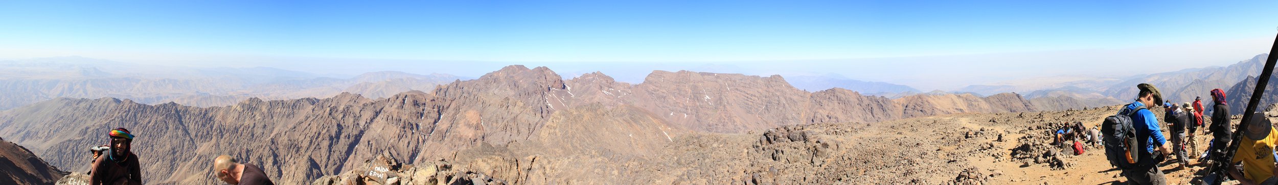
A 270 degree panorama from the summit of Toubkal.

The walk down was a bit of a slog and was very lose under foot. I think nearly all of us slipped at least once!

We descended back down the same way we came up to get back to basecamp.

Well defined crags and rocks on the other side of the valley.
Day 5: Toubkal Basecamp to Imlil
Distance: 17.0km (10.56 Miles)
Ascent: 707m (2320ft)
Duration: 5 Hours 45 Minutes
Today was the last full day of trekking and involved a 1300m descent down the valley to a ‘gite’ (hostel) near Imlil.

All of the 'behind the scenes' group before they departed back home.

The valley we are descending down. We will be passing the pointed peak in the centre later on today.

A view back to Ouanoukrim.

A deep blue sky and although not too green there was a rich vegetation here too.

Still descending - it was near here that we passed a shrine.

A small lizard just off the path.

The shrine. Legend has it that a Genie lives within the rock that is pained white and pilgrims come here to sacrifice animals for good blessings and good health.

The view down the valley from the Shrine.

The Shrine.

Our final destination today is a gite (similar to a hostel) and is only another few miles.

A view back up to Toubkal.

Our gite is just down there!

Beautiful rocky mountains around Imlil.

Imlil.

Mt Toubkal from Imlil.
Day 6: Imlil to Pickup Point
Distance: 2.86km (1.78 Miles)
Ascent: 87m (285ft)
Duration: 45 Minutes
Today was the last day of the trek and involved only a short walk through Imlil to get the minibus back to Marrakesh. It was a sad moment but we all stayed together to explore Marrakesh.

All of the guys together on the trek - Grzegorz, Ken, Me, Abdullah, Andrew, Tim and James.

Early morning Toubkal.
The sun breaking over the mountain tops.
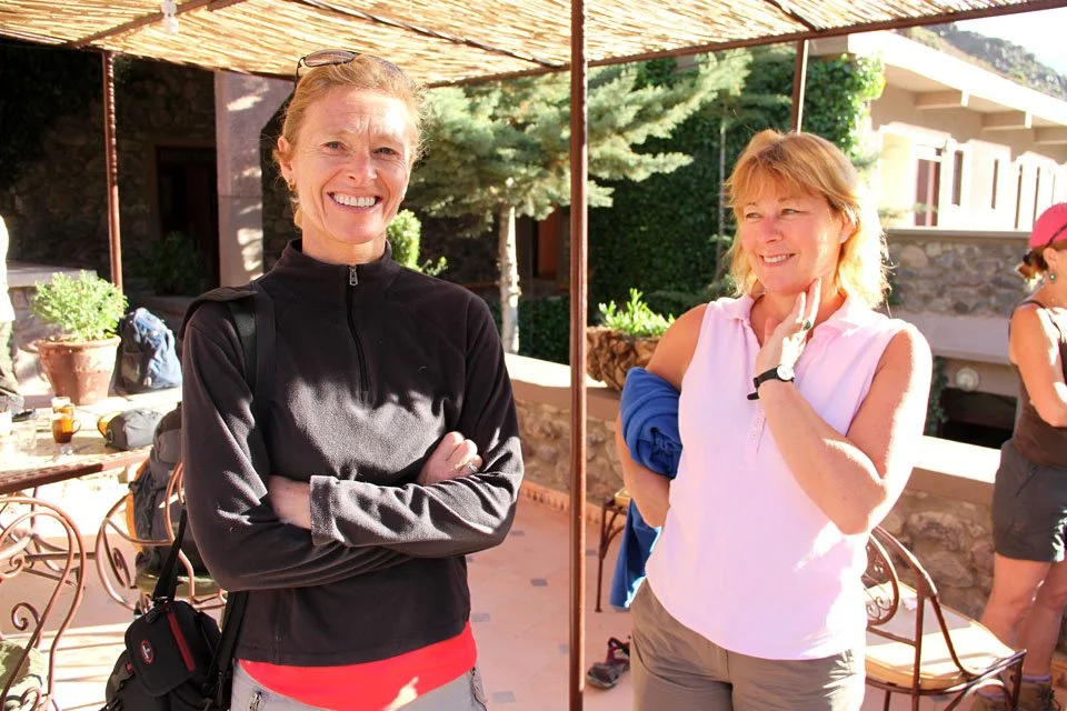
Mette and Trudi just before we set off.

A rather large millipede just by the gite.

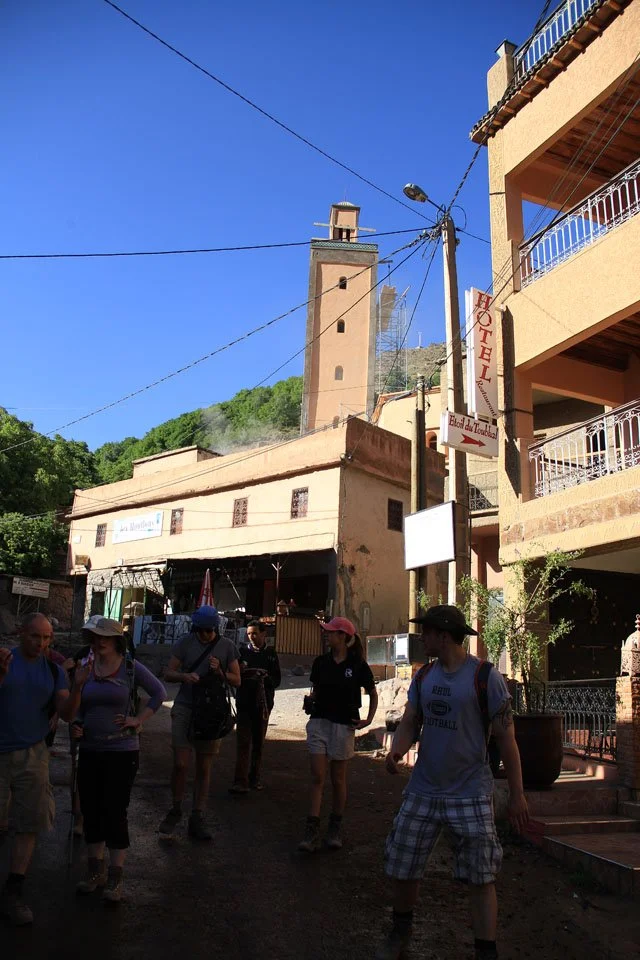
Walking through Imlil.

Beautiful mountains around Imlil.
Imlil town centre was full of shops and was a bit of a shock to the system.

A final view to Toubkal from the edge of Imlil. The minibus is literally right behind me.