Mellbreak
Distance: 11.8km (7.33 Miles)
Ascent: 635m (2083ft)
Duration: 3 Hours
An unexpectedly sunny and clear walk up onto Mellbreak.

The forecast for today was cloudy with showers and only 10% cloud free summits. Well, from the start of the walk it looks like they got it a bit wrong - not that I'm complaining! The view here shows the High Stile ridge to the left and Mellbreak taking up the rest of the photo.

A view up to a sunny Low Fell.

It doesn't look as pleasant down the Buttermere Valley, here showing Rannerdale Knotts and Haystacks.

But clear blue skies over Whiteside and Grasmoor.

A rich blue sky and silhouette of Mellbreak.

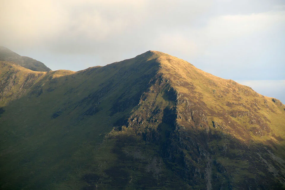
Don't you think that the west face of Grasmoor has the same shape as Mellbreak's north face?

Loweswater, Darling Fell and Low Fell.

And a close up of Darling Fell and Low Fell in the sunshine.

The cairn on Mellbreaks north top - only 3m lower than the south top.
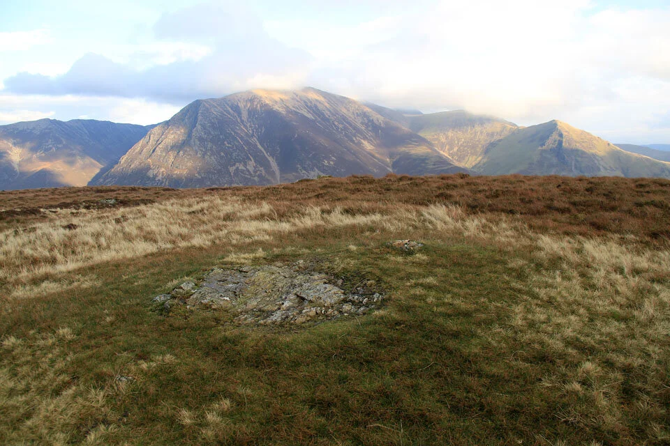
And the rocky outcrop marking the south, and highest top on Mellbreak with a view to Grasmoor.
Whiteless Pike.

Crummock Water and Buttermere far below.

The stunning Scale Force through the tree-lined gorge.

Some of the remains of the old Medieval Sheiling settlement just before Crummock Water.

And a last view over Low Ling Crag to Fleetwith Pike and Haystacks.