Martindale Round
Distance: 21.4km (13.29 Miles)
Ascent: 1088m (3570ft)
Duration: 9 Hours 46 Minutes
After waking up on the summit of Hallin Fell I set out straight away onto another walk, this one considerably harder as it takes in 6 wainwrights in deep snow conditions! Strange for this in May!

An icy Martindale looking down the valley to The Nab and Rampsgill Head.

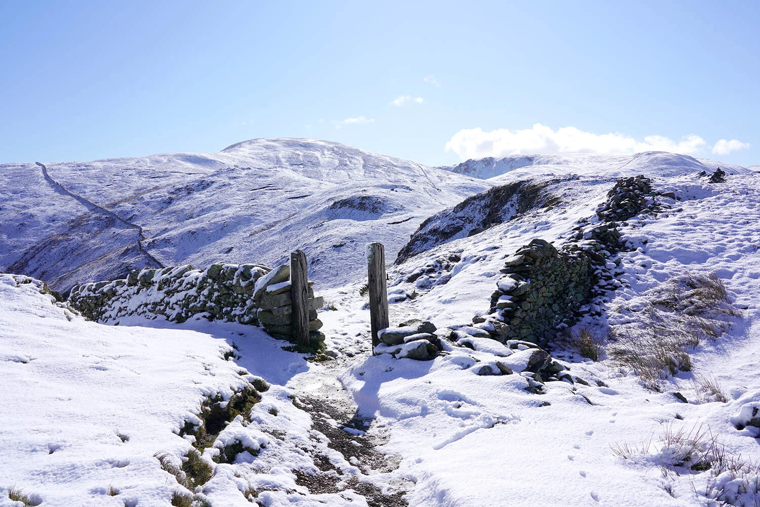
Heading into Bannerdale.

Loads of the Martindale Deer - maybe 50 or more on the fellside.

A small pool high above Bannerdale. Time for some Breakfast!

Two deer peeking over to keep an eye on me!"

The upper reaches of Bannerdale.

Angle Tarn, a popular wild camping spot.

Leaving Angle Tarn behind.

Gray Crag across the valley.
Following a short section of the Coast to Coast before branching off left towards The Nab.

Looking back to Gray Crag and Hayeswater.

Looking back down to Angle Tarn and across to Helvellyn and Catstye Cam.

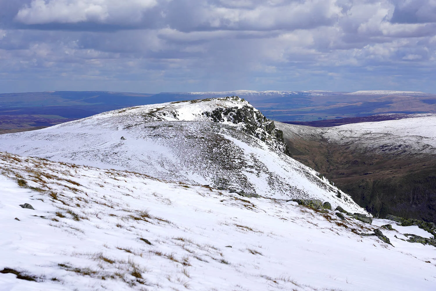
The summit of The Nab, peak number 1.

Looking back to Rest Dodd and Rampsgill Head.

And after re-crossing the the bog on The Nab this is the view back. Time to head up the steep fell side to Rest Dodd summit.

Rampsgll Head.

Rest Dodd summit cairn looking to High Raise and Rampsgill Head.

A view back to Rest Dodd. Lots of snow melting by this point. To the right is The Nab which was covered in snow when I was there about an hour or two ago.

The Knott summit, peak number 3.

The summit of The Knott looking across to Red Crag.

A superb view down the fill length of Riggindale with Kidsty Pike up to the left.

Rampsgill Head summit.
Kidsty Pike.

Kidsty Pike summit cairn with High Street behind.

High Street.

Riggindale and Haweswater.

Mardale Ill Bell.

High Raise summit cairn. Time to start heading down!

Redcrag Tarn.

Descending back to Martindale.

Looking into Bannerdale on the descent.

A final shot of Martindale before heading down to the old church.