Malvern Hills
Distance: 14.1km
Ascent: 638m
Duration: 4 Hours 30 Minutes
Today had been booked with my sister for many months as she enjoys day trips out to the hills (She lives in Norfolk so no hills there!) and we decided on a trip to the Malvern Hills and traverse the range from south to north.

We headed out from the train station at Colwall and headed south east towards Herefordshire Beacon.

Crossing open fields as we make our way towards the Malvern Hills.

Our first main summit of the day ahead.

Open countryside and gentle hills to the west.

We’ve managed to gain some height by this point with a view across Worcestershire and British Camp Reservoir.

A view north along the Malvern Hills. By the end of the walk we will have traversed all of the hills in view.

Herefordshire Beacon - the site of an Iron Age Fort with a series of massive ditches around the peak and then later used as a Norman Motte and Bailey Castle.

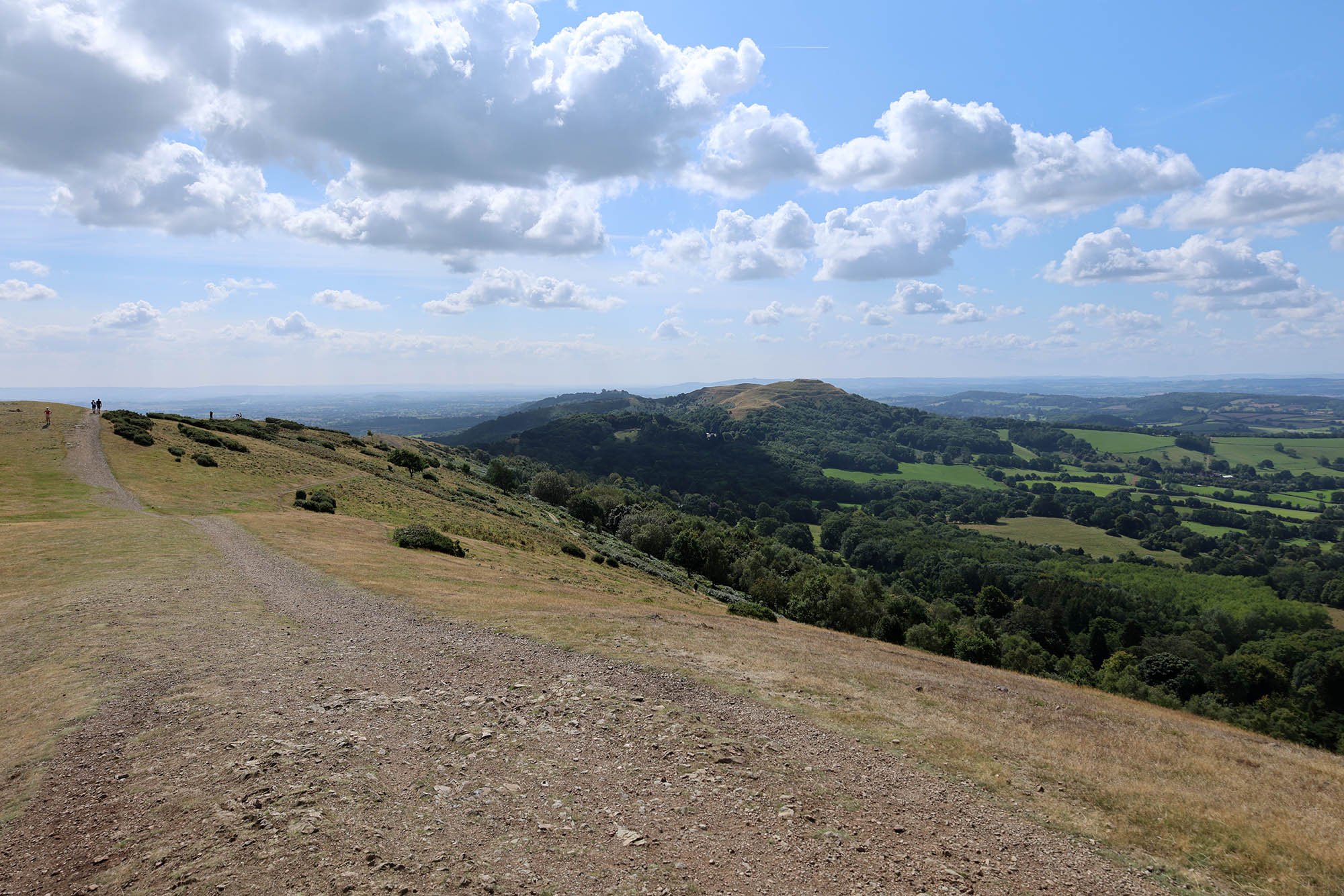
The summit of Herefordshire Beacon looking north along the Malvern Hills.

The Malvern Hills with Worcestershire Beacon at the far end being the tallest.

Stunning views to the east.
Looking south along the ridge of hills to Herefordshire Beacon.

Lots of paragliders out today in the perfect conditions.


A zoomed in shot of Herefordshire Beacon with all of the ditches clearly seen.

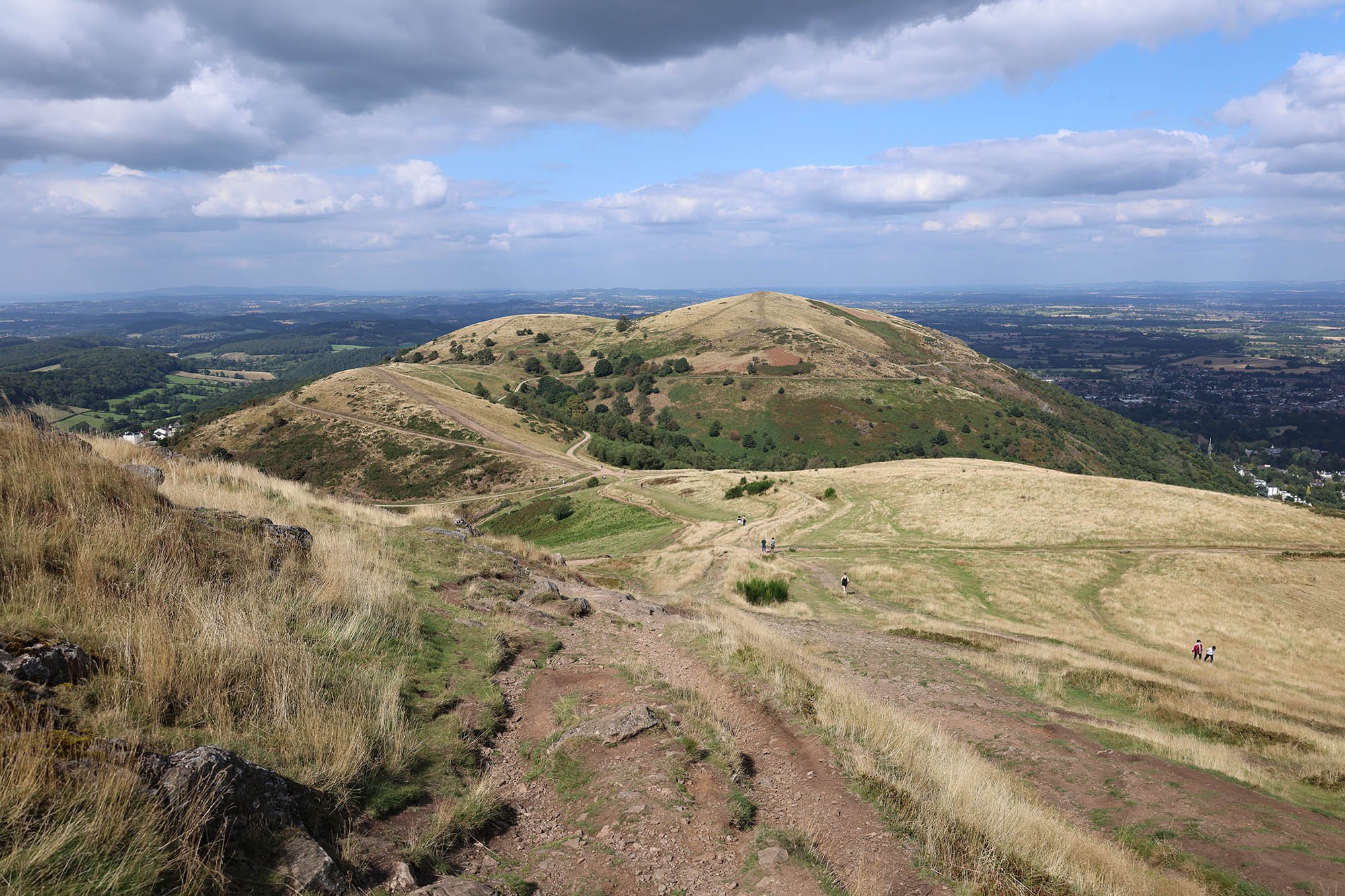
Following the stunning ridge.


Distant views towards the Cotswolds.


Worcestershire Beacon up ahead at 425m above sea level.


The 425m summit of the Beacon.

Great Malvern.

Looking west towards Wales.

The trig point on the summit free of walkers for just a moment.
North Hill which we were going to walk over but decided to turn right and head down into Great Malvern instead.

The Gateway in Great Malvern.

The great church in Malvern.

And in the church yard is a cross which the base is a medieval cross base.