Helm Crag
Distance: 7.03km (4.37 Miles)
Ascent: 446m (1463ft)
Duration: 1 Hour 55 Minutes
A boxing day walk up to the summit of Helm Crag.

Small patches of snow on Seat Sandal seen from the roadside of the A591.

Just walking around Butharlyp Howe and as you can just about see, todays choice of walk was spot on as Helm Crag is one of the only fells out of the cloud!

My first view of Grasmere (Lake) and Loughrigg Fell.

Sour Milk Gill across Easedale and Tarn Crag to the right. Easedale Tarn is just over the ridge which you get to see the higher you climb up.
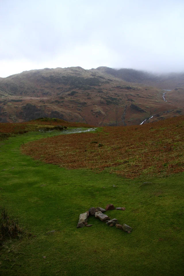
Unsure of which way to go when descending? Just follow the stone arrow!

Grasmere - both village and lake backed by Loughrigg Fell. On planning the walk for today there were three options I considered, one was Loughrigg Fell from Ambleside another was Silver How from Grasmere, and the last Helm Crag.

The Lion with the Lamb just on the other side out of shot. Once I got up onto this ridge the wind really picked up and I got blown over once when walking along to the Howitzer.

A close up of Grasmere and Loughrigg Fell.

The rocky desolate summit ridge of Helm Crag.

Approaching the Howitzer - With wind speeds like this I don’t think I'll be heading up there today.

The Howitzer and Dunmail Raise.
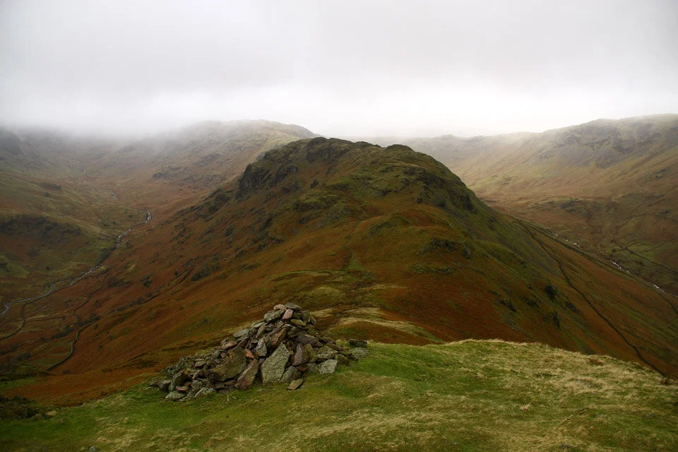
The last cairn just before the descent down to Bracken Hause. From the hause there are three options of route, one being left into Easedale, another straight ahead and up to Gibson Knott and lastly to the right down into Greenburn which is the way I took.

Greenburn Beck from the unmarked footbridge (on my map anyway!).

A last photo of the cascades on the other side of the bridge - looking up the valley.