Stour Valley Path
Guidebook available in the shop!
Distance: 62 Miles
Start: Newmarket, Suffolk
Finish: Cattawade, Suffolk
The Stour Valley Path is probably one of Suffolk’s better known Long Distance Trails. It follows a meandering route from the catchment area of the River Stour all the way to the coast at Cattawade. The 62 mile long route passes through dozens of lovely villages, each with a unique character and rich historic value.
Day 1: Newmarket to Kedington (27.6km)
I have been planning the Stour Valley Path for some months now and with work patterns and lack of annual leave I have decided to walk the path in single day sections, using public transport as much as possible to arrive and depart from the route.
This is the first day along the path, starting at Newmarket and finishing 17 miles later at Kedington just near Haverhill.
Having arrived by train it was a mile or so walk to the start of the route by the clock tower in Newmarket town centre. Along the way I passed this pretty church.
The only remaining part of the Palace that once stood here. Channel 4 Time Team dug here several years ago.
The clock tower. This marks the start of the Stour Valley Path.
The first couple of miles takes you down the High Street (Great for some breakfast!) and along the roadside in a straight line. The loud traffic of rush hour made this part a little worse than it would normally be.
Newmarket Racecourse.
A glimpse of the Saxon Earthwork called the Devils Dyke. The Stour Valley Path runs along the very crest of the bank.
Finally turning off the road and into the Cambridgeshire Countryside.
A view back to Newmarket Racecourse.
The Devils Dyke is the largest of a series of Ancient Saxon Earthworks in the area. Its very impressive and a delight to walk along half of it as part of the route.
Steep banks on both sides.
Vast earthworks.
For a mile or so I'm following two long distance paths, the Stour Valley Path and the Icknield Way.
It was near this pool that I was at the highest point along the whole Stour Valley Path.
Quite a few miles in (10 I think) and this ford and bridge is my first encounter with the River Stour.
Little Bradley Church.
Little Thurlow Church.
Crossing grazing marshes at Great Thurlow.
Great Thurlow Church.
Kedington Church. The last few miles you visit so many churches, probably the most along any 3 mile stretch of the route.
Following the Avenue of trees in Kedington to the end point.
The village sign. Kedington marked the end of this part of the route with the next stage being Kedington to Long Melford.
Day2: Kedington to Long Melford (29.1km)
Its only been a week or so since I completed the first day of the Stour Valley Path and Im out on the second leg, this one initially being about 15 miles ended up at 18 miles before taking the walking boots off! This would turn out to be the longest day out of all along the route but really enjoyable as I make my way through several beautiful villages including Cavendish and Stoke-by-Clare.
Rejoining the trail at Kedington.
A proper cross-roads. Footpaths off in all directions!
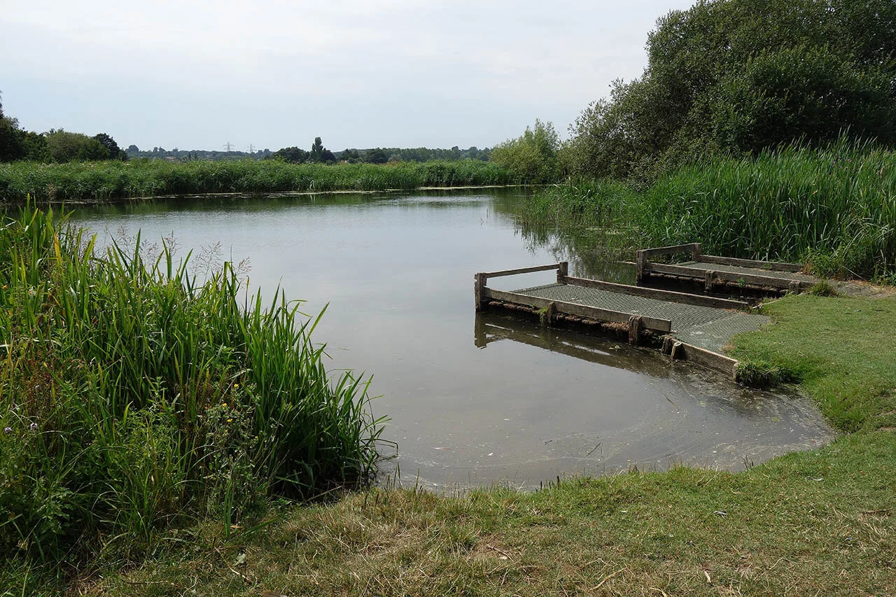
Large lakes for wildlife just off the River Stour.
Signs of the old railway that ran through the valley.
Heading into the Baythorne Estate.
A grand long avenue to the hall. Its here I turned right as there is no public access along the track here-on.
A large pond in the estate grounds.
Baythorne Hall.
Stoke by Clare Green.
Crossing the vast open countryside between Stoke by Clare and the town of Clare.
Clare coming into view with its church and Castle.
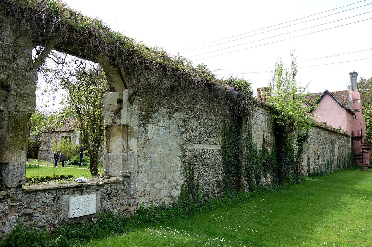
The route passes close to Clare Priory, an Augustinian Priory dating from 1249.
Nearby is the beautiful Clare Castle Country Park and its Norman Motte and Bailey.
Clare Castle.
Having left Clare I'm now crossing more open countryside to the tiny village of Cavendish.
Cavendish Green.
One of the most picturesque sights so far along the walk.
Medieval houses along the high street.
A Wisteria in full bloom and smelling amazing.
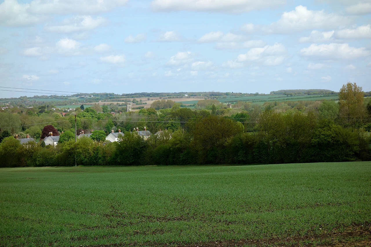
Crossing more countryside with far reaching views (for Suffolk) as I make my way towards Glemsford.
Distant Melford Church which is near the end of todays walk.
The route passes by Stanstead, a tiny and beautiful village set amongst gentle hills.
Walking along the avenue at Kentwell Park.
Long Melford Church.
And the end of todays walk, Long Melford Green.
Day 3: Long Melford to Bures (20.0km)
Day 3 of my route along the Stour Valley Path and today was taking me from Long Melford to either Bures or Nayland depending on how hot it was. It ended up being only to Bures which is a fair bit shorter than previous days and only because of the sweltering 25C heat.
The route was absolutely beautiful in places. Sudbury Meadows was a real highlight as well as the gentle hills around Middleton and Lamarsh. My original plan was to walk the whole route in 4 sections but due to the intense and seemingly endless heat wave I decided to split the last 2 days into 3 to reduce the chance of heat exhaustion.
Early morning here in Long Melford and its already about 19 degrees.
Stunning timber framed house along the high street. Currently for sale at £1.25 Million...
The Bull Hotel.
A pillbox at Rodbridge. This will be one of dozens seen on todays walk.
Brundon Mill.
Pointing the way to go.
One of several ponds at Sudbury Meadows.
The pond my the Mill Hotel.
A beautiful blue cornflower in Ballingdon Park.
Gaining a little height around Middleton allowing for distant views.
Gentle hills around Middleton. This is the closest thing you will get to a 'hill' around Sudbury.
Great Henny Church.
To Lamarsh... then to Bures...
A panorama of the open fields and view near Great Henny.
More gentle hills near Lamarsh.
It might not look like much but its about 150ft descent down to Lamarsh Church.
Lamarsh Church.
The Lamarsh Lion.
And here I am by the River Stour in Bures. Time to get the train back and cool off. By this point it was around 25 degrees.
Day 4: Bures to Stoke by Nayland (16km)
Day 4 of the Stour Valley Path and with the continuing heatwave I only opted for a short 10 mile section leaving about 12 miles left after today to do. The route was very enjoyable with some beautiful views over the Stour Valley.
Bures Church.
A lock along the River Stour at Bures.
Bures Mill.
Following the Stour Valley Path across open fields.
Following the path up a gentle hill near Wormingford.
Beautiful views over the Stour Valley.
Zooming in on the gentle hills around the Stour Valley. Plenty of those up ahead around Nayland.
Wormingford Church.
Stoke by Nayland church on the horizon. That’s my finish point for today.
The River Stour down near Wissington.
The River Stour at Nayland. Here you follow the river for a few hundred metres.
Nayland Weir.
Nayland village.
Not far from Stoke by Nayland.
Stoke by Nayland Church at the end of todays walk.
Day 5: Stoke by Nayland to Cattawade (19.1km)
My final day along the Stour Valley Path passing some of the loveliest scenery so far along the entire route. A long section of riverbank walking allows time to reflect on the walk since Newmarket and the Dedham Vale AONB really allows for a stunning finish along this long distance path.
The church at Stoke by Nayland.
Leaving the village for open countryside.
A distant view to Stoke by Nayland Church.
Following two Long Distance Paths at the moment. The St Edmund Way is on the list of paths to do...
Open countryside along the Stour Valley Path.
Slightly hilly around this part.
The River Stour.
Now entering Stratford St Mary.
Dedham Mill.
Following the riverbank past Dedham.
Entering the National Trust Dedham Vale.
The River Stour just near Flatford.
Local wildlife on the river.
River trips along the Stour.
Flatford Bridge.
The stunning Flatford Mill.
Willy Lotts House opposite the mill. From here its a short walk along the RSPB Cattawade Marshes to the end of the route.
This is the park at the end of the Stour Valley Path. Route Complete!
Time for a sit down?
Cattawade Picnic Site. Its no the most amazing end point to the walk and you have no real idea how close you are to the estuary so I continued over to the estuary just a few hundred metres away before heading to the train station in Manningtree.
The Stour Estuary.
The very end of the Stour and the end of my walk.


