St Edmund Way
Guidebook available in the shop!
Distance: 80 Miles
Start: Manningtree, Essex
Finish: Brandon, Suffolk
The St Edmund Way is a long distance path connecting Manningtree to Brandon following parts of the Stour Valley Path along the way and exploring the rich history of the country including that of St Edmund himself. It takes in many of the historical towns and villages in Suffolk including Nayland, Bures, Sudbury, Long Melford, Lavenham, Bury St Edmunds and Thetford. The route is listed on the British Pilgrimage Trust as it links so closely with St Edmund who was slain by the Danes in 869AD and now buried at Bury St Edmunds.

Day 1: Manningtree to Nayland (23.8km)
Having recently finished the Stour Valley Path and encountering parts of the St Edmund Way along the way I decided to start this route. It follows 80 miles of lovely Suffolk countryside from Manningtree to Brandon and visits dozens of stunning places including Lavenham and Bury St Edmunds.

This is it... the start of a brand new long distance trail. The St Edmund Way starts off at Manningtree train station so I got the train here from Sudbury and will use a fair amount of public transport to get to the start of each day. This is the first of the trail markers.

The first major landmark is Flatford Mill 1.5 Miles away.

Heading under the railway...

The spectacular RSPB Cattawade Marshes on the approach to Flatford.

The River Stour which I will be following for the first 30 miles.

Entering Dedham Vale.


Beautiful day to be walking the route.
Arriving at Flatford.

I took a detour over the footbridge to Flatford Mill.

Willy Lotts Cottage.

Flatford Mill. Here on I followed the River Stour for several miles.


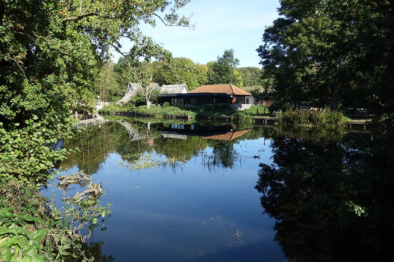
A large pond making good feeding grounds for plenty of birds (They were all at the other end!)

Up into the gentle hills before Stoke by Nayland.

Scotland Place.

A superb view across the Box Valley to the hills on the other side.

Stoke by Nayland Church. This village is also the best place to end the first day as it has overnight accommodation and good transport links to Sudbury - better than Nayland where I chose to end.

The path to Nayland.

At Nayland awaiting the bus back to Sudbury (I had to wait nearly 2 hours for the bus unfortunately BUT what a lovely place to sit and wait for one!)
Day 2: Nayland to Sudbury (24km)
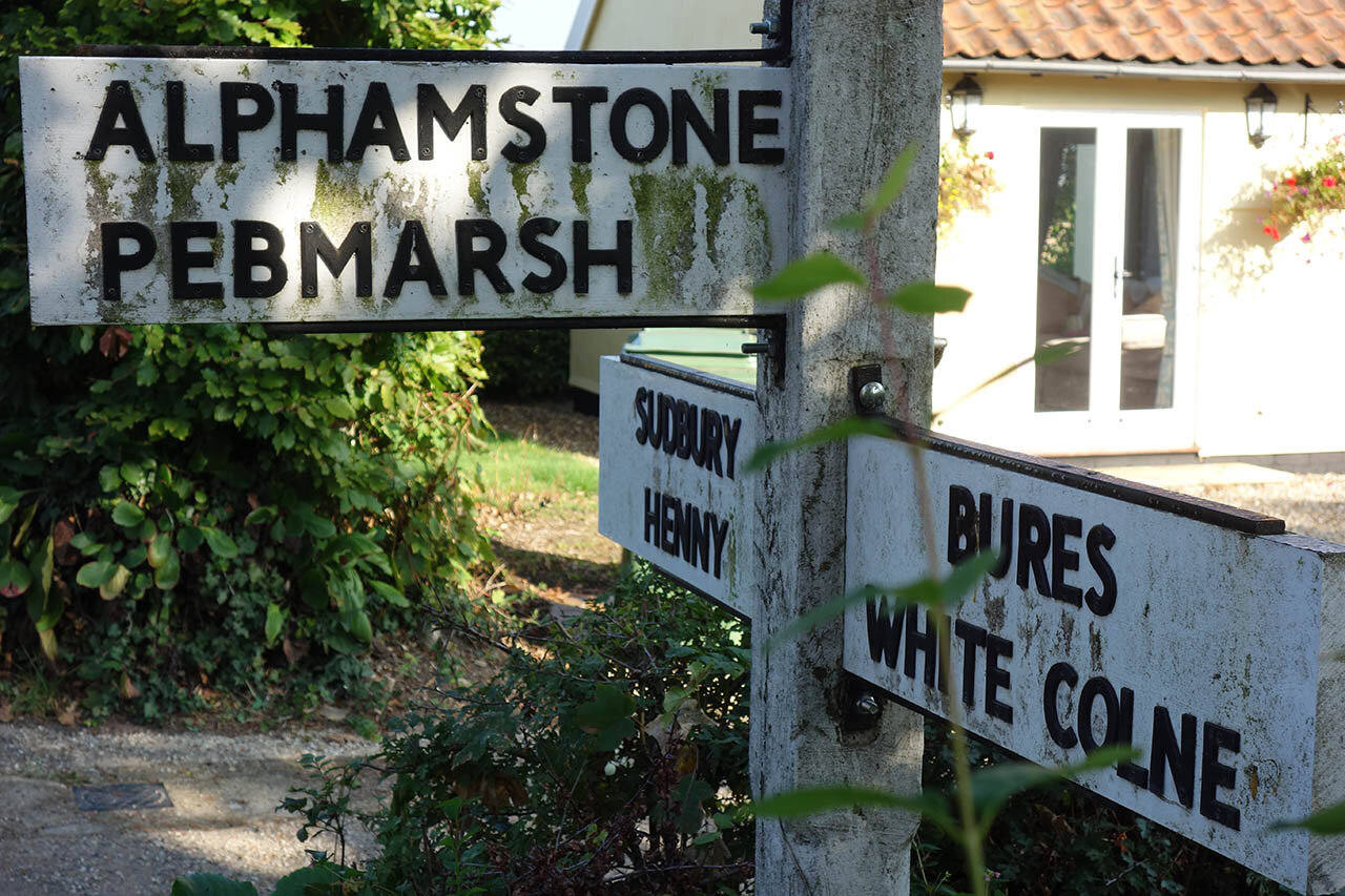
Day two (which I had to split into two days due to work) involves a 15 mile route from Nayland to Sudbury via the village of Bures. The route explores the edge of the Dedham Vale AONB and more of the beautiful Stour Valley. This section was easily split down thanks to the train station at Bures.

The spired church in Nayland.

I took a short detour to see the earthworks at Court Knoll.

The River Stour at Nayland.

This section follows the Stour Valley Path briefly before taking a different route into Bures before rejoining it to Sudbury.

An ancient moat at Wissington.

The lovely church at Wissington.


Still in Dedham Vale but not for much longer.

Distant views from the hilltops around Bures.


An ancient Chapel which had links to St Edmund which is explored in the video at the top of the page.

Bures Church.

The River Stour at Bures.

Clear skies as I leave Bures.

The path north from Bures takes in several gentle hills for distant views over the Stour Valley.

Old cottages at Lamarsh.

Lamarsh Church.

A view down to the church.

The path ahead to Sudbury.

Great Henny Church.

The Quay Theatre in Sudbury.
Day 3: Sudbury to Lavenham (19.2km)
Day three (which again I had to split into two days due to work) involves a 12 mile route along much of the old railway line that once linked these towns and villages. If you are thinking of splitting this section down too then there are good public transport links in Lavenham and Long Melford with overnight accommodation in Long Melford also.

Sudbury Church on Market Hill.
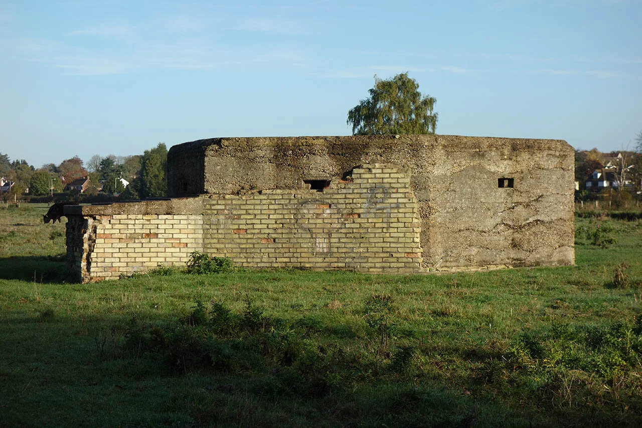
Pillbox along the river at Sudbury Meadows.

Lucky enough to see a Whooper Swan at Brundon.

Brundon.

Brundon Mill.

On the old railway towards Melford.

The River Stour.

Melford Church.

The historic Bull Hotel in Melford.

The spectacular church in Melford.

Complete with a Lady Chapel.


Kentwell Drive.

Back on the old railway line leading to Lavenham.

The Lavenham walk.

Another pillbox next to the railway line. There are many around Lavenham which can be seen from the path.

Lavenham Church.

DeVere House - Godricks Hollow from Harry Potter

The ancient Guildhall - owned and managed by the National Trust.

Day 4: Lavenham to Bury St Edmunds (27.8km)
Day 4 of the St Edmund Way leads through open countryside to the small town of Bury St Edmunds. The route passes several tiny villages with the option of breaking the day down into two thanks to a regular bus service to Lavenham from Bury St Edmunds which stops at Stanningfield.

More signs of the railway that once ran through the village.

More pillboxes around Lavenham.

What may initially appear to be an old rail line I think is actually a medieval trackway that once lead to a Hunting Lodge which is in the woods behind me.

Lots of sheep in the fields.

Although hard to see, there are earthworks and a moat here.

Lawshall Green.


Stanningfield Church.

The Rookwood Estate.

The smoke from the Sugar Factory at Bury St Edmunds showing how far there is left to go...


Part of the old railway again that once connected Lavenham to Bury St Edmunds.

A little height was gained with the top of Bury Cathedral visible.

Ruchbrooke Arms - perfectly located for some food along the trail!


Nowton Church in the sun.

A trig point at 84m above sea level just before the gentle descent into Bury St Edmunds.

Norman Tower in Bury st Edmunds.

Bury Cathedral.

The spectacular gatehouse into Abbey Gardens.
Day 5: Bury St Edmunds to Lackford (18.9km)
Day Five along the St Edmund Way starts at Bury St Edmunds and follows much of the Lark Valley Path to Lackford. This day can be combined with Day 6 for a massive 22 Mile walk ending at Thetford.

St Edmundsbury Cathedral.

Spectacular history to explore on a lovely sunny day.

Abbey Gate.

St Saviours Hospital ruins next to Tesco and directly on the route.

Smoke from the factory but finally into the countryside.

Fornham on the other side of the river Lark.

Pillbox in the golf course.

Signs of the Locks that once ran along the River Lark. This one is reported to be one of the best preserved.


Following the Lark Valley.

Still going through the Golf Course.

Another well preserved Lock.
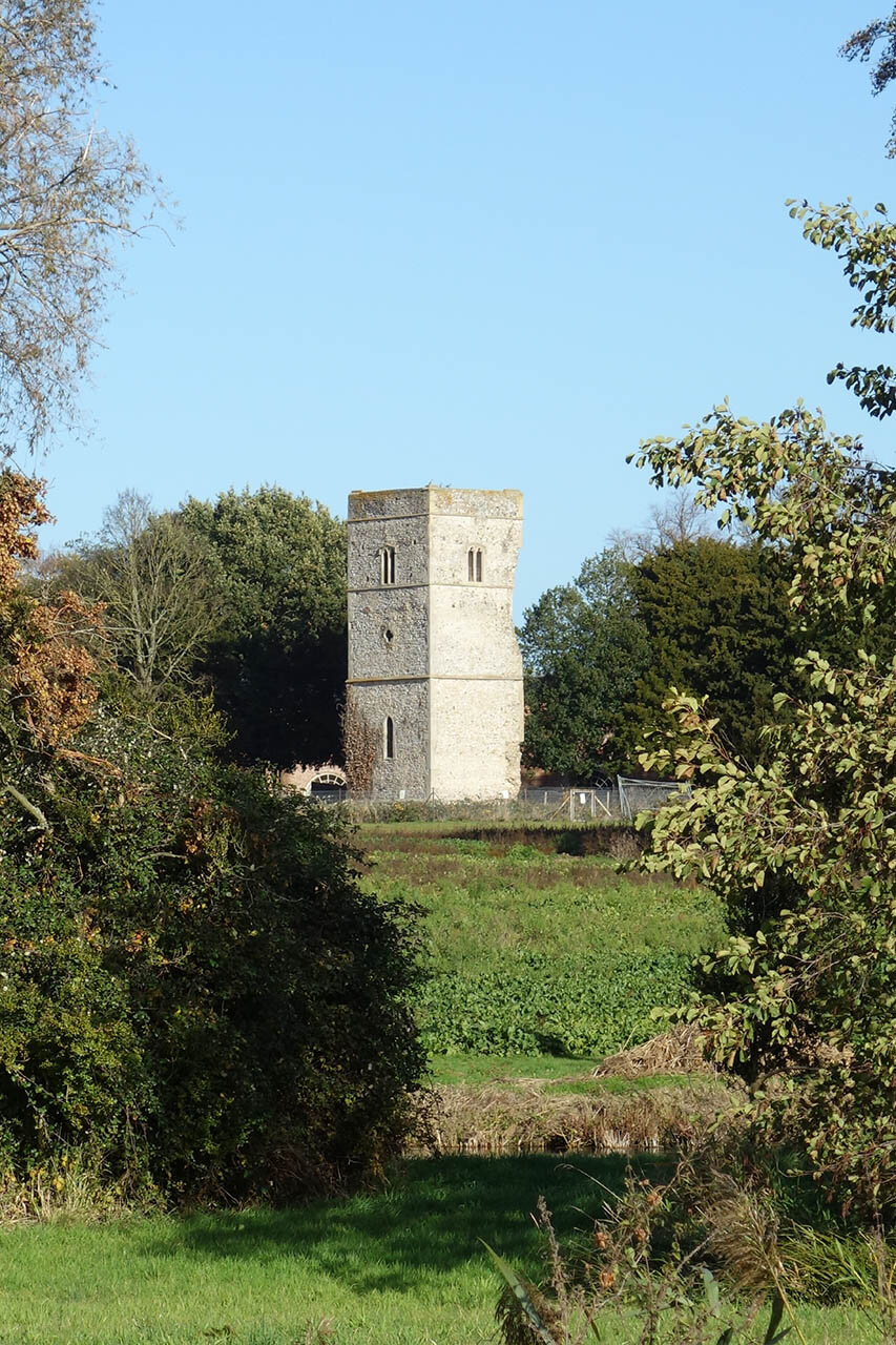
Ruined church in Fornham Park.

The church at Culford School.

Culford Lake.

The Spectacular Culford Hall - Now a private School.

Following the lake to the Iron Bridge.

Probably greatly overlooked but this bridge is something special... It is the oldest Iron Tubular Bridge in the world! Protected by a Grade 1 Listing.

A short detour to view the breathtaking West Stow Hall and its beautiful gatehouse.

The lake at the end of the days walking at Lackford.
Day 6: Lackford to Thetford (18.6km)
Day 6 of the St Edmund Way takes in Britain’s Oldest Road - a long line of the Icknield Way which links with the Ridgeway and continues to the Norfolk Coast.

A definite change in the landscape as I enter the Brecks.

The long straight track that is the Icknield Way.

Stunning autumn colours.


Following the Brecks Trail.

Amazing light and colours.

Rich colours and one of the best autumn days I have ever had.

Numerous ways along the Icknield Way Path.
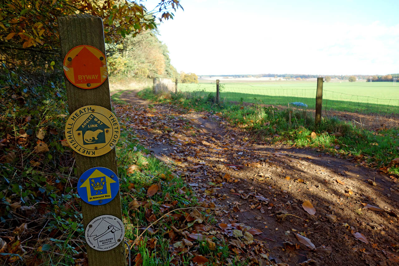
Here I also join part of the Angles Way link path.

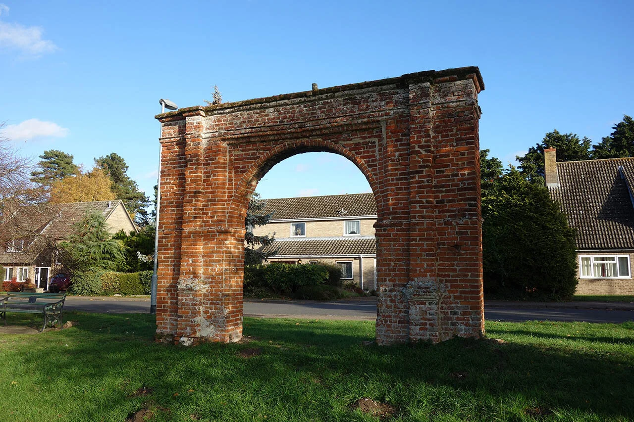
Nunnery Gate in Thetford.

A final photo of the Mill in Thetford.
Day 7: Thetford to Brandon (15.3km)
The final day of the St Edmund way follows the Little Ouse west of Thetford to end at the Suffolk town of Brandon.
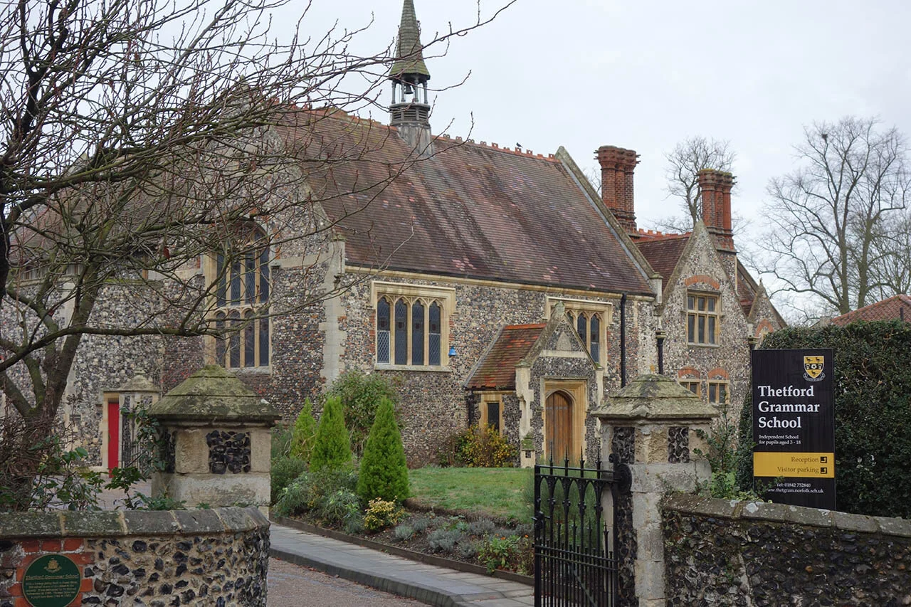
Thetford Grammar School - the site of Thetford Friary and near to the location of Thetford Cathedral (no longer present).

The riverbank path in Thetford.

Following part of the Little Ouse Path towards Brandon.
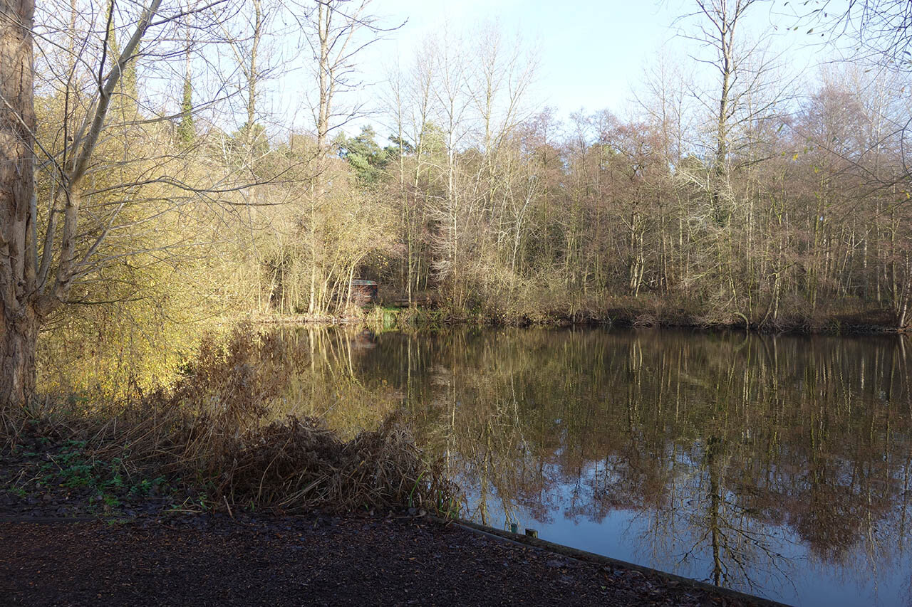
A fishing lake just past the A11.

Following the path along the Little Ouse.

The first Weir along the Little Ouse.

Approaching something not expected in the woodland...

A power station...

Just past the station marks a splitting of the St Edmund Way with the Little Ouse Path.

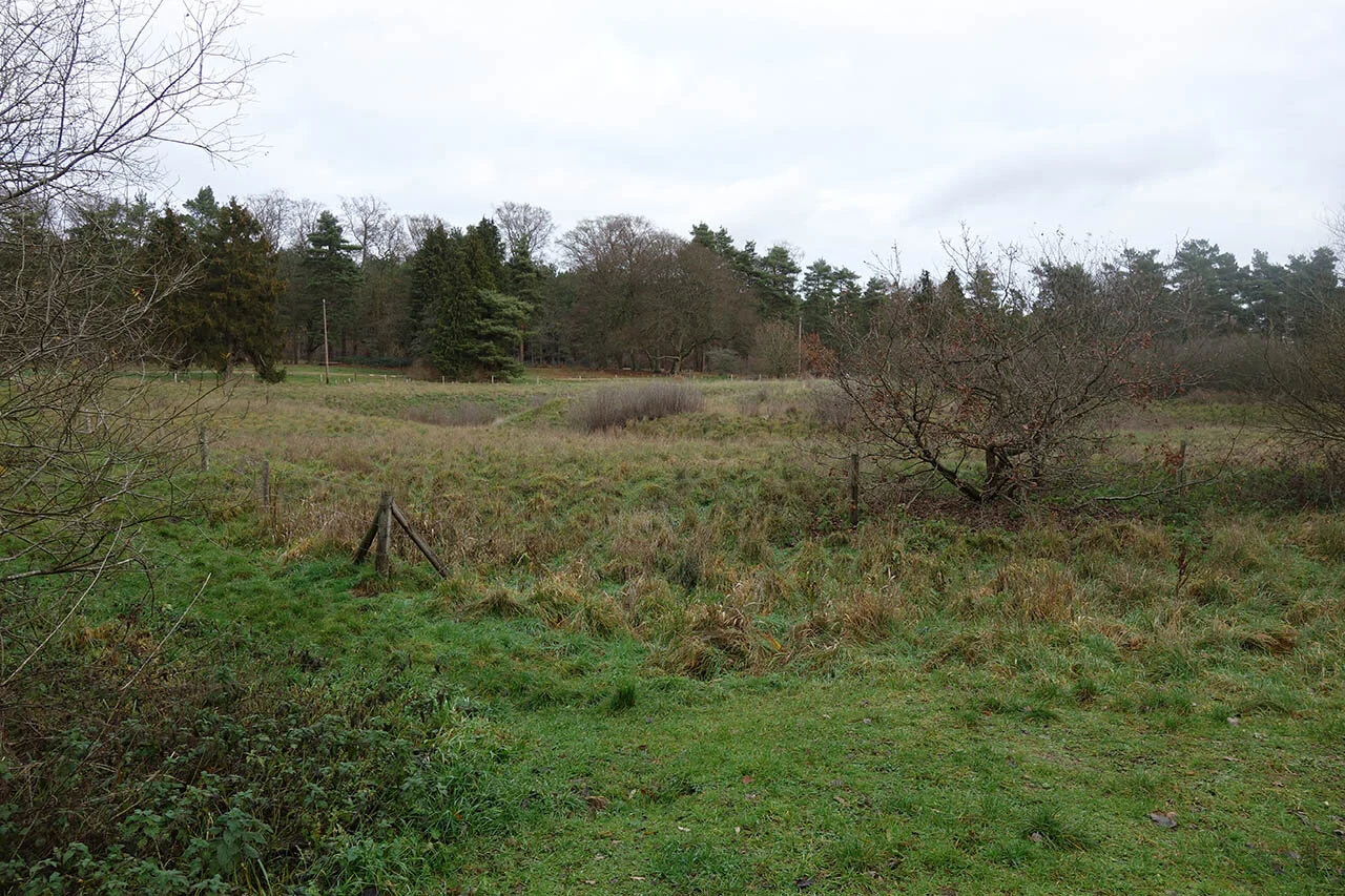
The site and earthworks of St Helens Church.

A lovely view over the railway line.


The small church in Santon Downham Country Park.
Earthworks of a Moat - probably Santon Downham Hall.

Santon Downham Church (in the village)


A marker for the start of the Little Ouse path and the end of the St Edmund Way in Brandon.