Whiteless Pike and Grasmoor
Distance: 9.82km (6.10 Miles)
Ascent: 879m (2884ft)
Duration: 3 Hours 30 Minutes
Time to get out on a walk and get on some new peaks. Today, although it was very hazy was an enjoyable half day out on Grasmoor and Whiteless Pike.

Starting the approach through the small valley of Rannerdale dominated by Grasmoor.

A little view of Crummock Water with Red Pike as the rounded dome to the left.

The further you head along Rannerdale the more Whiteless Pike seems to dominate the valley. Here looking like a huge pyramid.

And oddly enough Rannerdale Knotts is pyramid shaped from this angle too.

The view up Rannerdale to the hause just at the top.
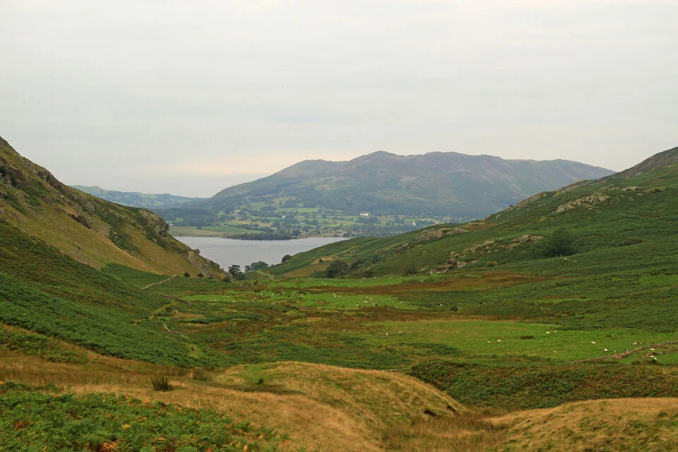
And a view down Rannerdale to Crummock Water and the Fellbarrow group of fells.

A close up of Crummock Water, Loweswater (to the left) and Low Fell to the right.

The bumpy rocky ridge leading to Rannerdale Knotts summit.

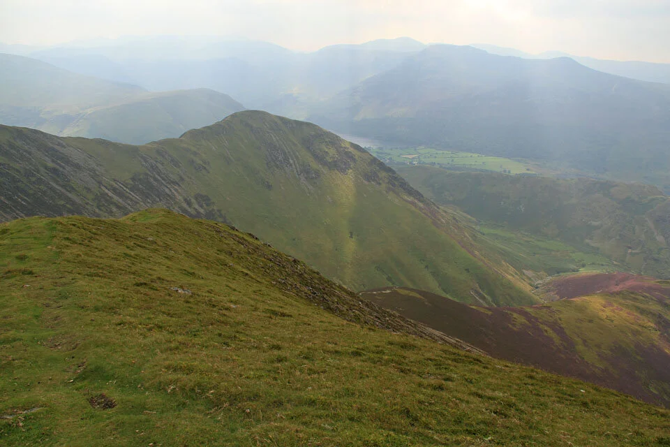
Starting part of the steep section to Whiteless Pike - here with a superb view to the High Stile ridge and Buttermere.

Crummock Water with Rannerdale Knotts and Mellbreak behind.

A shaft of light over Buttermere.

A view down the whole of Rannerdale.

The summit of Whiteless Pike with layers of fells in the background. You can see how hazy it was today, the fells in the far distance are only the Helvellyn Range not too far away.

My path from the summit, down to Saddle Gate (bottom of photo) and up Whiteless Edge.
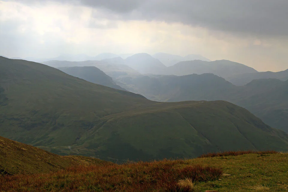
A hazy view to Great Gable and the Scafells over High Snockrigg.

The summit shelter on Grasmoor and the suns just come out. It was warm out of the wind up here but as soon as you were out in it again the jacket had to go on!
Descending the long ridge to Lad Hows below.


Waterfalls along Cinderdale Beck just a couple of minutes from the car park.