Troutbeck Tongue
Distance: 12.9km (8.01 Miles)
Ascent: 302m (991ft)
Duration: 3 Hours 49 Minutes
A lovely walk along the Troutbeck Valley to the summit of Troutbeck Tongue via some ancient cairns.

Jesus Church in Troutbeck right near the start of this walk.

The Troutbeck valley with the Tongue just seen through the mist.

The route to the Tongue passes many streams and pretty little waterfalls.


A larger waterfall just before I entered the moorland. Although hard to see it looked impressive.

Lots of mines along this valley.

One of the ancient Bronze Age Cairns on Troutbeck Tongue. All of the cairns appeared excavated as they were hollow in the middle.

A second Cairn higher up the hillside.

Looking across to St Ravens Edge and another of the ancient cairns - this one was very impressive.

A third cairn and then behind me was a fourth.

This is final cairn as I made my way up to Troutbeck Tongue summit. This one had some of the original capping stones and an obvious cist shape!


Looking back up the valley and the slight diagonal line you can make out as the Roman Road of High Street.
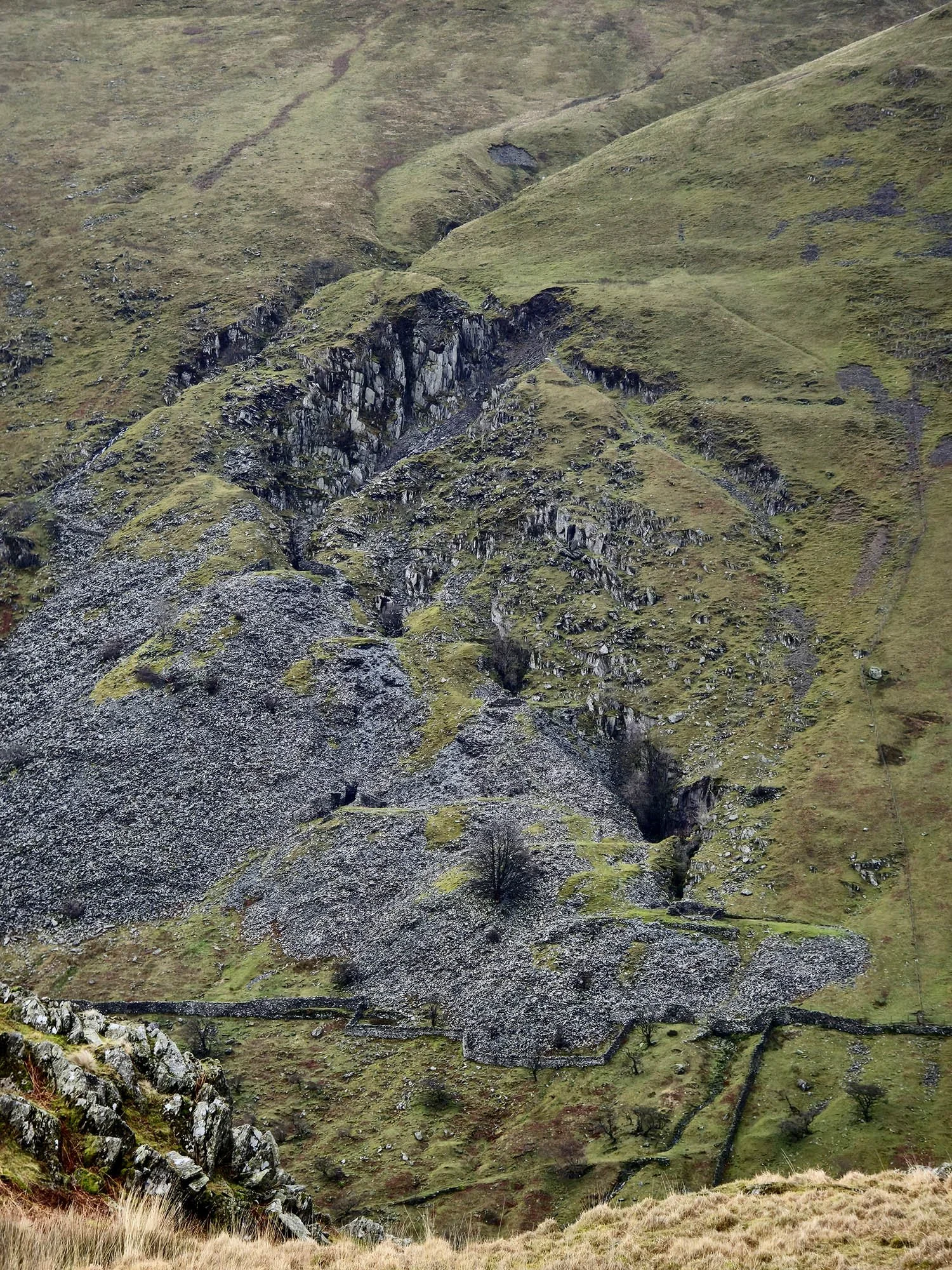
Stunning mines - I wouldn't mind taking a closer look at some point!

Troutbeck Tongue summit cairn.

And down off the hillside as the wind speed reached over 60mph!


A view back along the valley to Troutbeck Tongue.

Back at the church where I parked just the other side.