The Screes
Distance: 15.5km (9.63 Miles)
Ascent: 990m (3248ft)
Duration: 5 Hours 36 Minutes
A walk along Wast Water and the top of the Screes.

Crossroads at the beginning of the walk. Not Scafell Massif way - today its the Lakeshore path.

High water levels at Wast Water here looking to Kirk Fell in the cloud.

Scafell Pike high above almost out of the cloud!

Yewbarrow across Wast Water.

Looking back to Wasdale Head. Kirk Fell and Great Gable in the centre and Lingmell up to the right.

Originally I thought that was snow until I zoomed in and saw it was water flowing down the fellside.
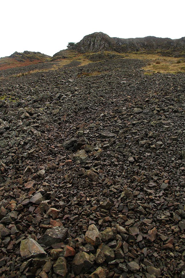
Scree slopes on the Screes.
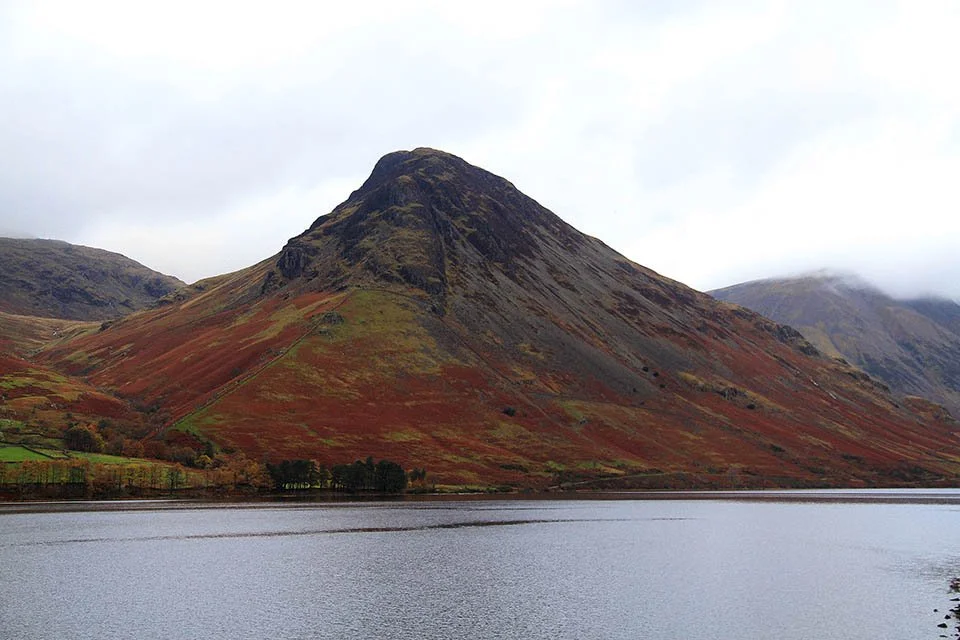
Yewbarrow.

Wast Water Screes.

Buckbarrow skimming the clouds near Greendale.

Calm reflections of Middle Fell and Yewbarrow in Wast Water.

Autumn reflections.

Wast Water.

Starting the ascent and heading into the clouds.

The summit of Irton Fell.

A break in the clouds and a view down to Buckbarrow and Middle Fell.

The actual highest point according to the OS Map.

A view down one of the gully's to Wast Water.

The two tarns either side of the ridge path. I dont know if they have a name but one should be called Illgill Tarn and the other Whin Rigg Tarn.

The cairn on the lower of the two summits of Illgill Head.

This small cairn marks the highest point.

The third cairn (well, shelter in this case) on Illgill Head.

Burnmoor Tarn below Great How.

The slopes of Sca Fell with Lingmell to the left.

My path down to Wasdale Head.

Quite possibly the cutest little bridge in Lakeland. Just beautiful!

Two small bridges over the beck.