Swindale Fells
Distance: 22.8km (14.17 Miles)
Ascent: 1041m (3416ft)
Duration: 5 Hours 50 Minutes
What started out as a great walk ended up redefining the meaning of boggy as I headed up to Tarn Crag and Grey Crag via Selside Pike and Branstree.

Looking up past a barn near Swindale Foot to the high crags that line Swindale.

Lovely blue sky and stunning autumn colours - would be great if the sun lasted!
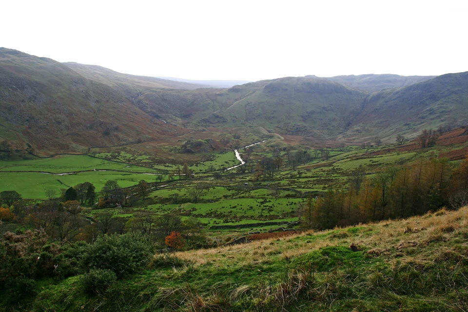
Now heading up the Old Corpse Road with a view down to the head of Swindale.

And a view back down the full length of Swindale.

The Pennines on the horizon with Cross Fell marking the top.

High Street under the cloud and Kidsty Pike.

Harter Fell, Mardale Ill Bell, High Street and the ridge of Rough Crag.

Rough Crag.

Blue skies in the opposite direction. A small section of Haweswater to the left and the Eden Valley to the right.

Selside Pike summit shelter (made from the remains of an ancient cairn).
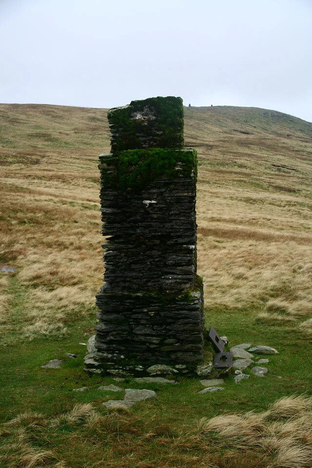
The Pillar on the way up to Branstree. Very similar to the one on Tarn Crag.

The Pillar and a tarn.

Haweswater from Artle Crag.
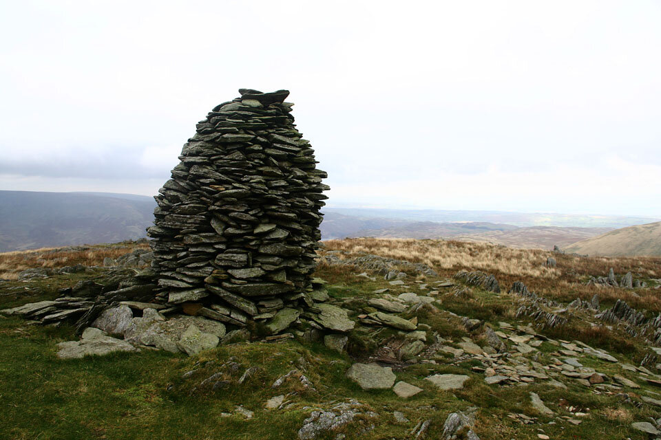
Artle Crag summit cairn.

Branstree summit marker and cairn. Just out of the picture are the only other two walkers I saw on the whole walk.

Just look at the size of those Peat Hags... And the path goes right through them... or if you noticed on the map, in-out and around them!

The disused Wrengill Quarry on the lower slopes of Kentmere Pike.

Mosedale Cottage, my walk will take me past there soon.

Silhouetted pillar on Tarn Crag with Morcambe Bay in the distance.

And the summit cairn on Tarn Crag. Time to head over to Grey Crag and attempt to cross near Greycrag Tarn... And what a mess that turned out to be! So much of the path was impassable and I wasted so much time trying to work my way through it.

But I finally got there and found this cairn marking the highest point of Grey Crag. Now its time to head back...

Windemere to the south west.

Attempting to make it back through the Peat Hags. Greycrag Tarn is under there somewhere!

Greycrag Tarn.

Mosedale Cottage and Mosedale.

Mosedale Cottage.

Forces Falls on the descent back to Swindale.