Stanage Edge
Distance: 26.2km (16.27 Miles)
Ascent: 1056m (3465ft)
Duration: 6 Hours 35 Minutes
Another long day planned as well today but no hidden extras! I did actually ascend more than stated because as I was walking down Stanage Edge I came well equipped (climbing shoes and chalk) and soloed 6 short easy routes along the way.

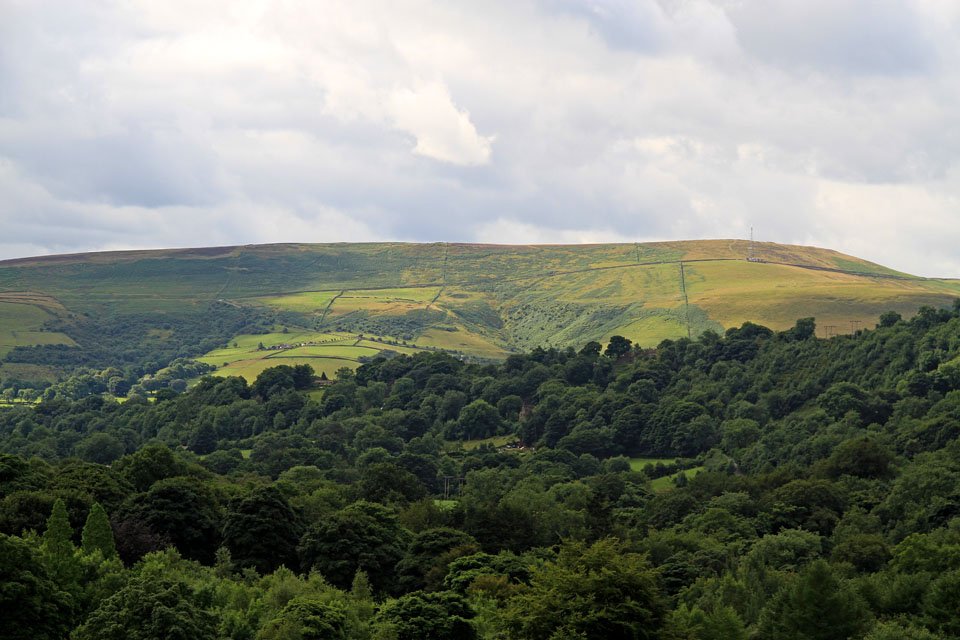
Sunlit Bamford Edge from the old railway line I walked yesterday. It was either walk this route again or along the main road so I opted for this.
Bamford Edge.

Ladybower Reservoir. This was the point I took a different path than from yesterday.
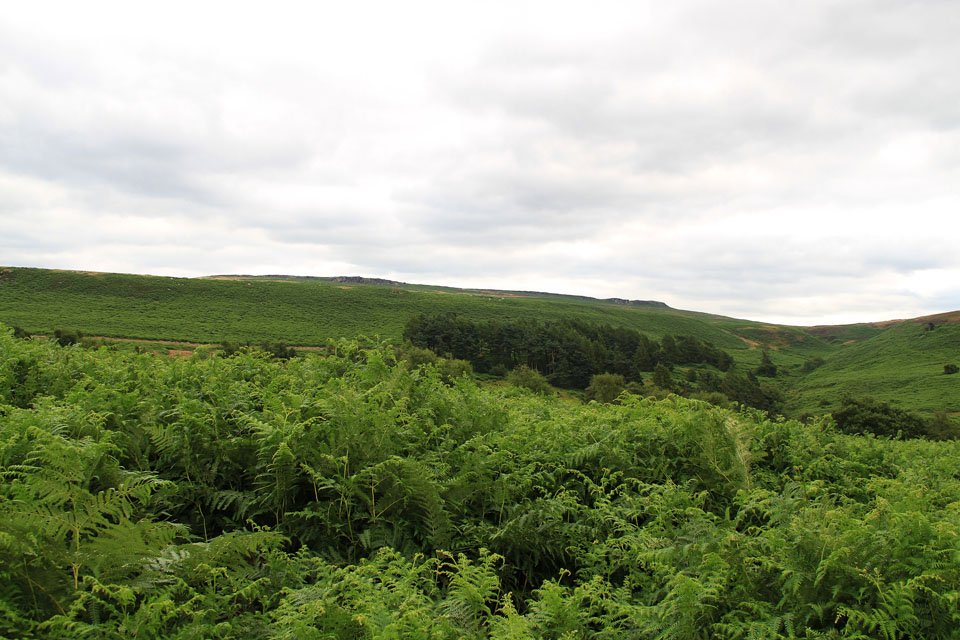
Shatton Moor - where I was yesterday afternoon.

Crook Hill across Ladybower.

Crook Hill.

Win Hill across Ladybower.
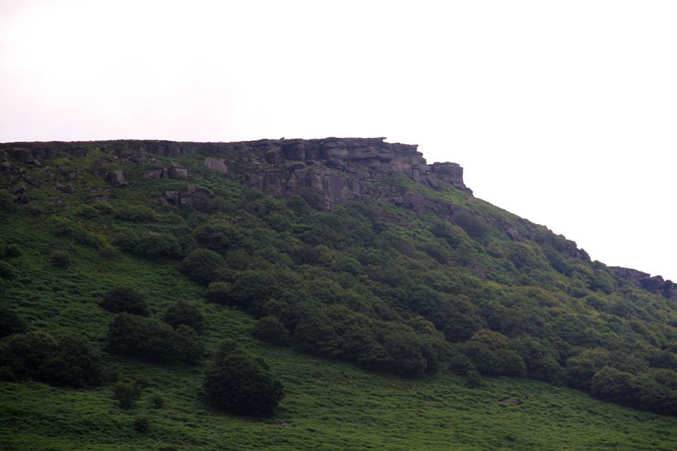
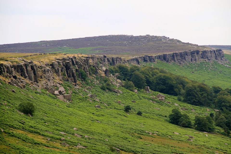
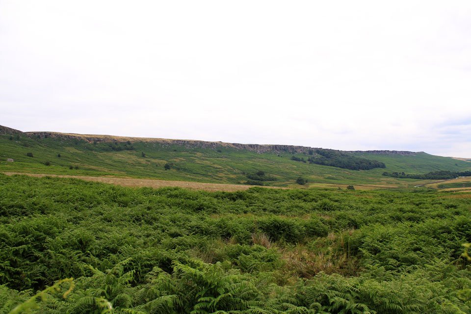
My first view of Stanage Edge.

Close up of Crow Chin on Stanage.

Sunshine and moody skies.

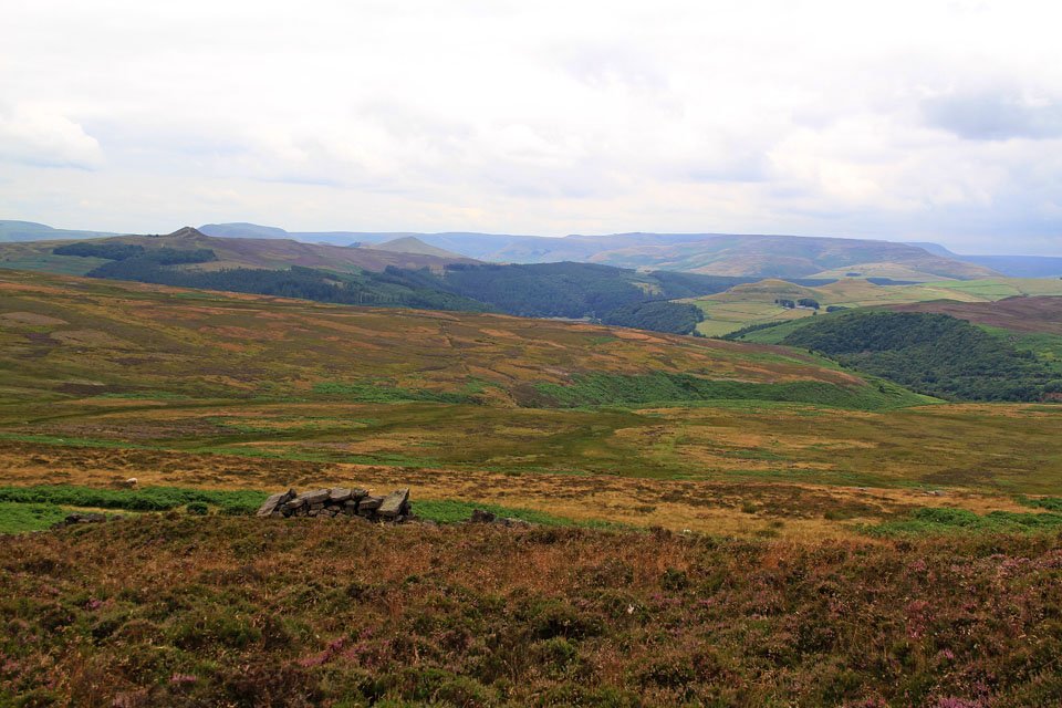
Mam Tor, Lords Seat and Lose Hill.

The shapely top of Win Hill.

The very top of Stanage End is marked by these rocks.

One of the routes I soloed near High Neb.
Beautiful Peak District.

Win Hill.

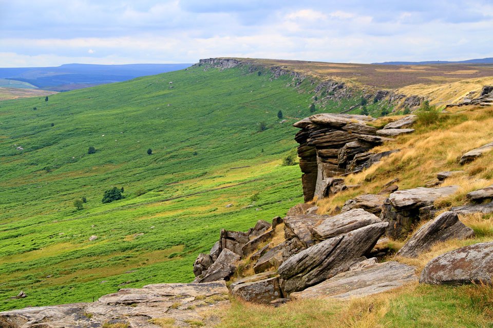
The northern end of Stanage Edge.

High Neb summit and Stanage Edge.

Stanage Edge.


There were lots more climbers by the Plantation and when I walked further along.
North along Stanage from the Plantation end.

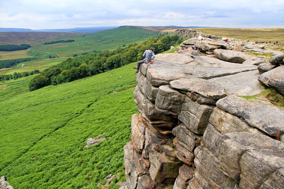

Climbers on Stanage Edge.

Robin Hoods Cave.

The trig column on the south top of Stanage.

The summit looking north.

Higger Tor.

Burbage North.
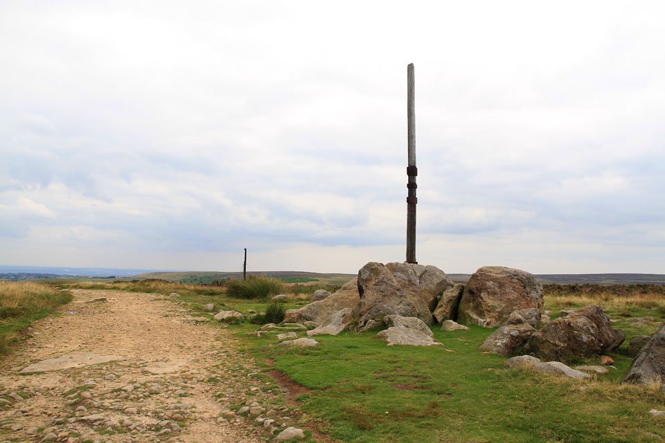
Stanage Pole.

Stunning Stanage.
Now on the descent down to Bamford.

Northern End of the edge.


Countryside on the way back down to Bamford.