Lose Hill
Distance: 13.8km (8.57 Miles)
Ascent: 772m (2533ft)
Duration: 4 Hours 15 Minutes
After arriving in the Peak District and setting up the tent I couldn't resist the lovely sunny weather and get a nice little walk in up to Lose Hill.

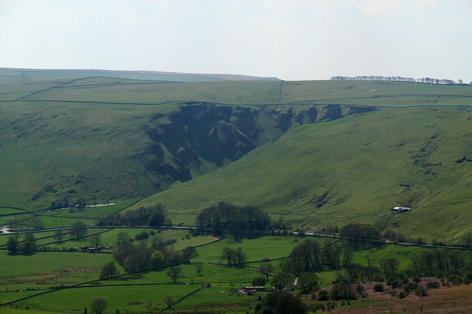
A couple of minutes into the walk took me through open fields with hundreds of lambs and sheep in. The view is the route I will be taking up to Hollins Cross and then along the ridge to the left up to Lose Hill.

Glorious sunshine over the Vale of Edale this morning. The view is across the vale to Kinder Scout.

The same view as before but from higher up along the path. I have a plan to walk the entire Kinder Plateau this week which will be fantastic if the weather is like this!

Now up at Hollins Cross looking to the peak of Mam Tor and its very distinctive Iron Age fort on the top.

A view south east to Castleton and Winnats Pass.

The long ridge leading over Back Tor to Lose Hill. No chance of getting lost along here!
Winnats Pass over near Castleton.

The Vale of Edale from the top of Back Tor.

The ridge west to Mam Tor and Lords Seat.

Peveril Castle ruins above Castleton. Just on the right is the cave known as 'The Devils Arse'

The Vale of Edale and Kinder Scout Plateau behind.

Lose Hill summit pillar.

Lose Hill summit looking east.

The lovely views to Mam Tor and Winnats Pass.

Mam Tor and the distinctive Iron Age Fort on the top.

Win Hill.

The awesome Stanage Edge a couple of miles to the south east near Hathersage.