Helvellyn Range
Distance: 24.8km - 15.41 Miles
Ascent: 1700m (5576ft)
Duration: 9 Hours 40 Minutes
Todays walk was planned to be a full Eastern Fells walk from north to south. We got dropped off near Clough Head and began the ascent there, following the ridge south to Grasmere.

Blencathra from St John's in the Vale.

The north western fells.

Blencathra.

The north western fells from the start of the climb up to Clough Head.

High Rigg.

Following the path to Great Dodd.

Skiddaw.

Bassenthwaite Lake and Scotland way beyond.

Great Gable.

Standing on the summit of Raise.
Catstye Cam and Helvellyn.

Ullswater and Catstye Cam.

The view from Helvellyn.

Standing on the summit of Helvellyn with Striding Edge behind.

Striding Edge.

Catstye Cam, Ullswater and Red Tarn.

Looking north along the Helvellyn Range to Skiddaw and Blencathra.

St Sunday Crag.

Striding Edge.

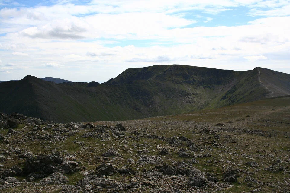
Fairfield.

St Sunday Crag and Hard Tarn.

Grisedale Tarn and Great Rigg.

Following the path down to Tongue Gill.