Helvellyn
Distance: 12.2km (7.58 Miles)
Ascent: 896m (2940ft)
Duration: 3 Hours 35 Minutes
Taking a battering of wind and hail on Helvellyn.

A Leat taking all the water run-off from this side of the fells into Thirlmere. Todays plan was to head up to Helvellyn then down to Whiteside and up onto Raise, with my route of descent along Sticks Pass.

Thirlmere and Raven Crag.

Sunshine on High Rigg with a snowless Skiddaw in the background.

Approaching Browncove Crags and you can just make out the snowline on Helvellyn Lower Man to the left.
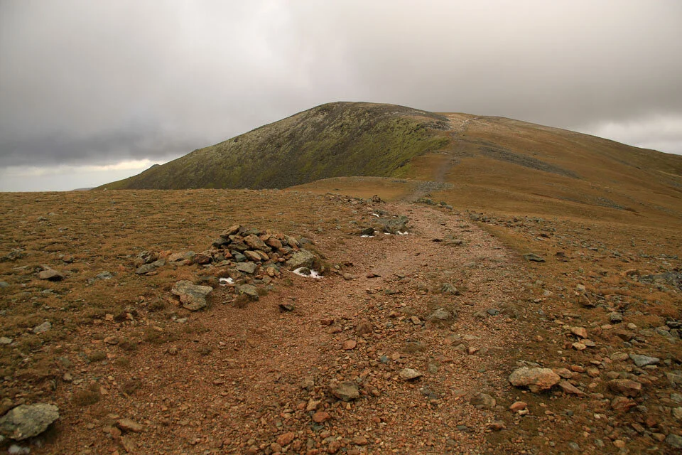
My route passed around the summit of Browncove Crags and also around Helvellyn Lower Man to which you can just make out the path skirting the top thanks to the buildup of snow.

Nethermost Pike and High Crag have a dusting of snow on them.

The trig column on Helvellyn with the cairn over to the right.

The cairn on Helvellyn with a bit of a view behind to Catstye Cam and Ullswater.

A build-up of snow along the east face and within the shelter.
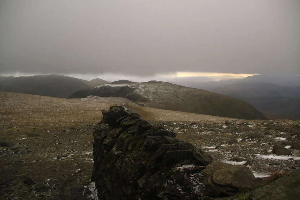
A view south from the shelter. Time for a quick bite to eat... but do I carry on with the original plan and head over to Whiteside and Raise?

The small cornice building up on the east face of Helvellyn. The wind really picked up just after this photo and walking became very difficult. It was because of this I decided to head down the way I came up instead of continuing over to Raise - will have to do that another time.

A last view of Thirlmere from the descent back down to the car. I decided to head down a slightly different route to the ascent for a slight variation.