Hayeswater Skyline
Distance: 15.1km (9.38 Miles)
Ascent: 1018m (3340ft)
Duration: 4 Hours 15 Minutes
Time to get out for a longer walk and get some new Wainwrights in. A great - if somewhat wet walk around Hayeswater.

The weather looked promising this morning with a cloud free Gray Crag and The Knott ahead.

A scheduled ancient monument down by the river junction of Pasture Beck and Hayeswater Gill. The remains are part of an old Lead Mine.

A lovely view back to Brothers Water, Hartsop above How and St Sunday Crag. The pointy peak on St Sunday Crag is Gavel Pike.

Waterfalls along Hayeswater Gill.

Hayeswater with High Street in cloud.

A view back down to Hayeswater with Gray Crag behind. A few stubborn patches of snow still about.

Now on the Coast to Coast path with a view over Brock Crags to a cloud covered Helvellyn Range.

Rest Dodd and peat hags.

My thoughts with you and your family Dave Roberts. This was in the middle of the path as I neared The Knott.

Rest Dodd, The Nab and the valley of Ramps Gill.

The Knott summit cairn with the Straits of Riggindale behind leading up to a cloudy High Street. Just after this photo the cloud descended for pretty much the rest of the walk until just below Gray Crag.

The highest point of Rampsgill Head looking to the cairn.

A brief view down Ramps Gill.

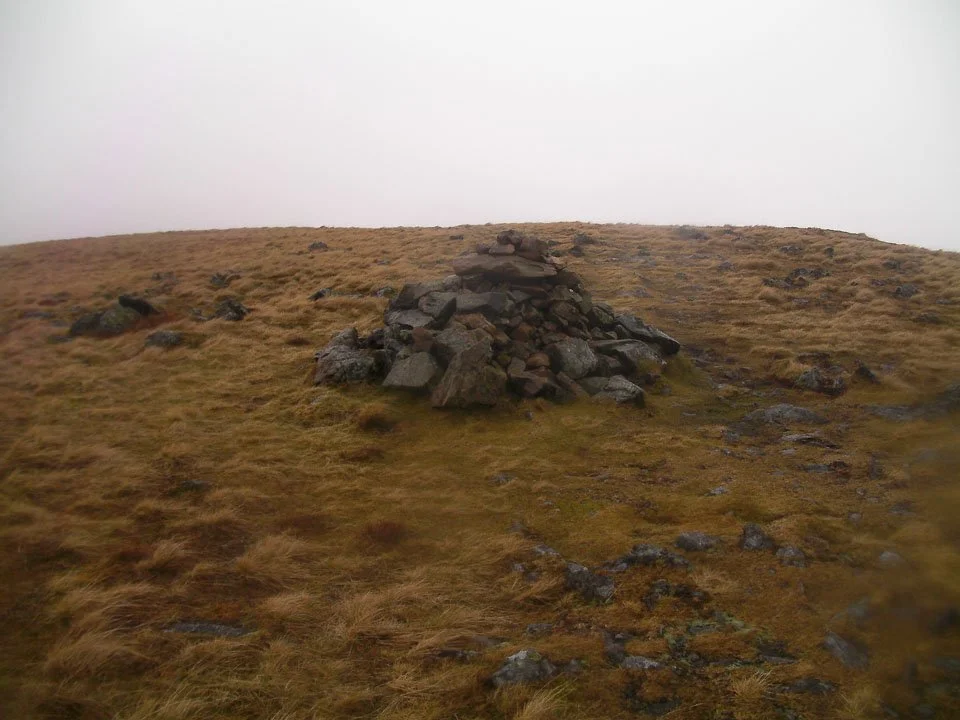
Rampsgill Head summit cairn.

Another brief clearing showing the obvious path up to High Raise.

Sunshine lights up the cairn on High Raise.

Sorry for the distortion in this photo (and the rest of them from here on) but its hard to keep water off the lens...

Kidsty Pike summit cairn. The gentleman to the right was the first walker I came across today. He was a landscape photographer out with his dog.

Some of the stubborn snow was still fairly deep. These drifts were just over a foot deep.

Dark and dull summit of High Street.

And its no different on Thornthwaite Crag either!
Things seem to be brightening up as I descended down to Gray Crag - this photo showing the cairn at the end of the ridge.

And we have the first view since the approach to High Raise - the scene showing the ridge down from Gray Crag with Hartsop to the far left.

Pasture Bottom flanked by Gray Crag, Raven Crag and Hartsop Dodd.