Crinkle Crags and Cold Pike
Distance: 12.8km - 7.95 Miles
Ascent: 1000m (3280ft)
Duration: 5 Hours 30 Minutes
A great walk up to Cold Pike and on to Crinkle Crags from Great Langdale.

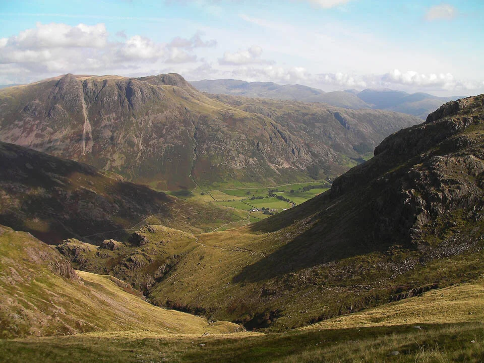
Great Knott and Crinkle Crags at the head of Oxendale.

Pike O'Blisco.

A helicopter lifting large rocks to create some upland footpaths.

Rossett Pike down Mickleden.

Great Knott and Crinkle Crags.

Great Langdale.

Crinkle Crags.

Whorneyside Force.

Whorneyside Force and Bowfell.

Great Langdale from higher up the path to Red Tarn.

The Langdale Pikes over The Band.

Crinkle Crags and Bowfell.

Browney Gill.

Pike O'Blisco.
The Langdale Pikes and Great Langdale. The Helvellyn range in the distance.

Crinkle Crags and Bowfell.

Cold Pike summit cairn.

Approaching the first Crinkle.

Great Langdale from the first Crinkle.

Scafell Pike and the cairn on the first Crinkle.

Long Top and some people looking at the 'Bad Step'

The 'Bad Step' and those people before didn't attempt it, they went round.

Gunson Knott from Long Top.

The Sca Fells.

Bowfell.

Pike O'Blisco from the Band.

Great Langdale from the Band.

Stool End Farm and great Langdale. Side Pike to the right.