Black Fell
Distance: 5.44km - 3.38 Miles
Ascent: 263m (863ft)
Duration: 1 Hour 40 Minutes
A beautiful short walk up to the summit of Black Fell from Knipe Fold on a glorious sunny afternoon.

Following the trackway from the road at Knipe Fold up to Iron Keld. This photo was taken from only a couple of minutes into the walk. The rounded peak to the left is Red Screes.

Just over the slopes of Red Screes you can see Kirkstone Pass Inn below Caudale Moor.

Through the gate and you're in Iron Keld. Lots of deforestation going on around here.

The spectacular view towards Windermere from the summit of Black Fell. The Yorkshire Dales seen in the distance.

One of the Yorkshire Dales peaks - Ingleborough.
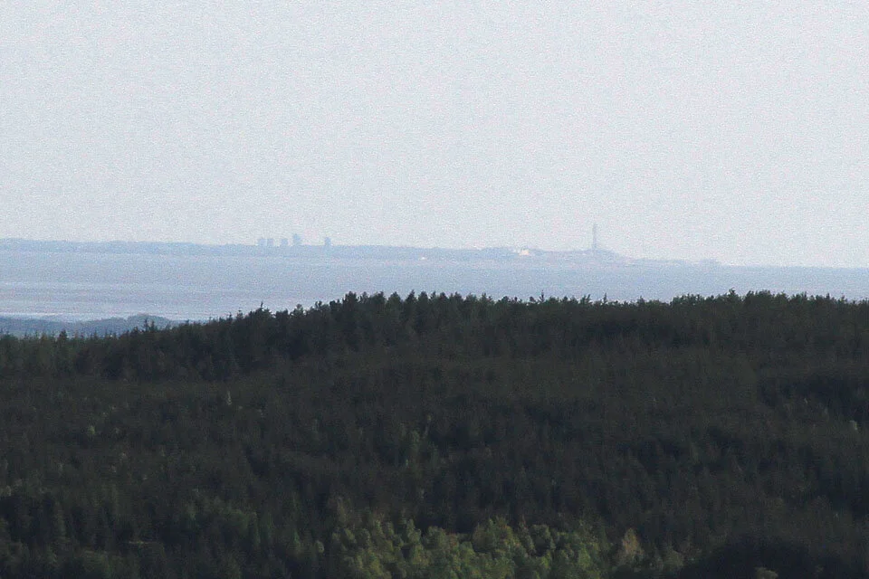
And to the south, Blackpool Tower.

Red Screes, Caudale Moor, Thornthwaite Crag and the Ill Bell Ridge above Ambleside.

The Fairfield Horseshoe.
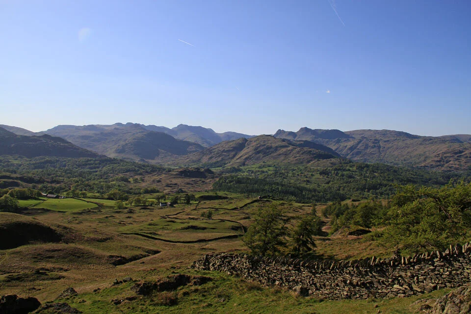
Little Langdale with Crinkle Crags, Bowfell and the Langdale Pikes.

The Langdale Pikes.

Coniston Water and Tarn Hows.

Esthwaite Water.

Windermere and the Trig Col.

A large cairn on a lower view point on Black Fell. Esthwaite Water to the right.