Bury to Clare Walk
Distance: 19 Miles
Start: Bury St Edmunds, Suffolk
Finish: Clare, Suffolk
The Bury to Clare Walk is one of Suffolk’s lesser known waymarked trails and at 19 miles long it only just qualifies as a long distance trail although it can be completed in a single days walk. This is actually the second time I have walked this route and opted to complete it over 2 days to film and photograph the route which adds on a considerable amount of time! Here is my journey:

New for Summer 2023 - Now including 7 Circular Walks exploring parts of the trail
Full Linear Route Directions
Maps showing the route, direction of travel, features and points of interest
Photos throughout the walk
7 short circular walks taking in parts of the Bury to Clare Walk
The Bury to Clare Walk explores an incredibly rural area south west of Bury St Edmunds in Suffolk. The 19 mile long trail ventures through several tiny villages and hamlets surrounded by agricultural land to reach the historic market town of Clare. With countless listed building in the town, the large Norman Motte and Bailey Castle is the most impressive as it stands like a sentinel over the narrow streets and timber framed houses.
Paperback | Page Count: 46
Day 1: Bury St Edmunds to Somerton (16.5km)
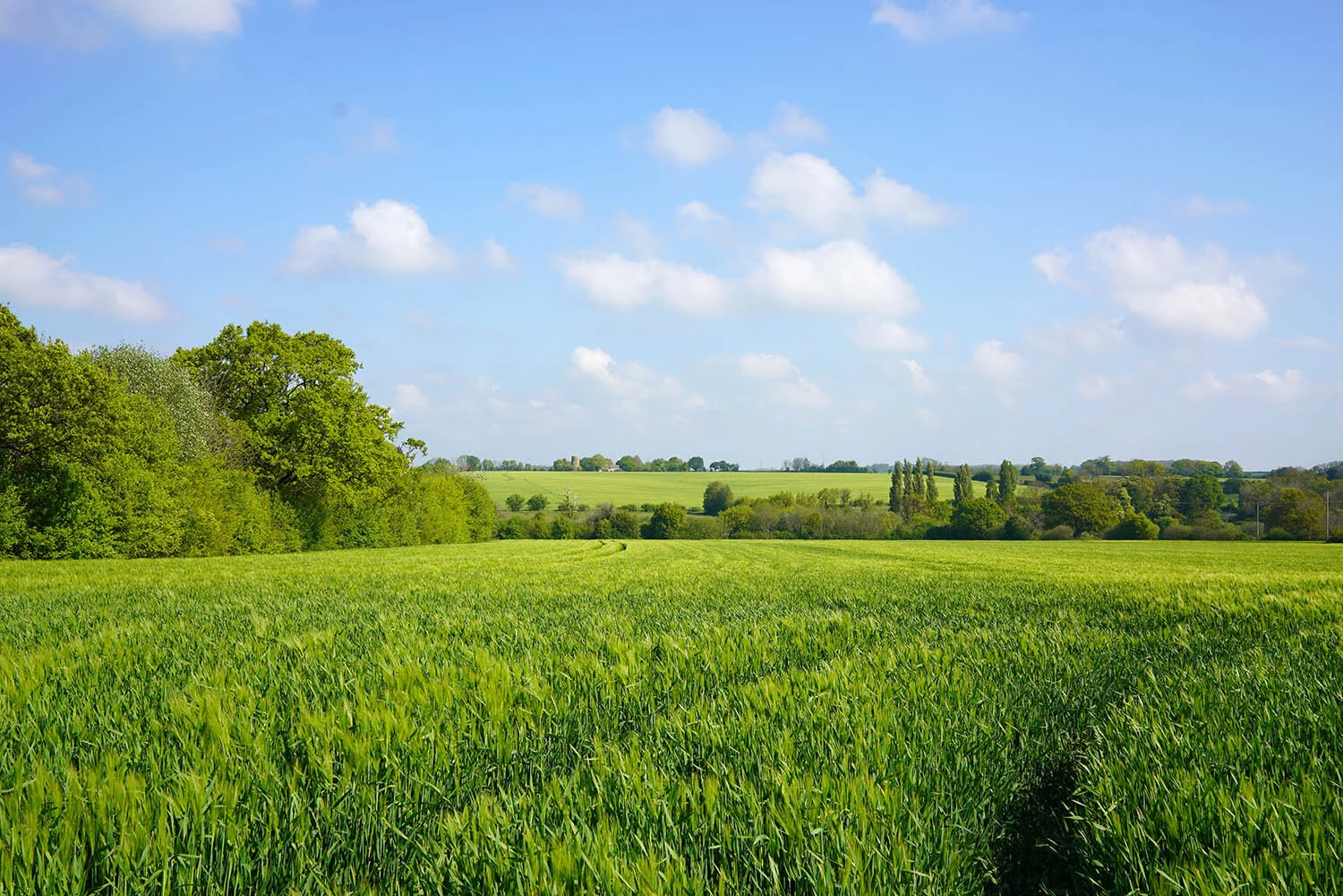
After being dropped off at Nowton Park at 08:00 with everything I needed to complete the 10 miles or so to Somerton I headed straight out onto the trail. Strangely the trail is not waymarked from the park even though it is officially the start of the walk but after following the road for just a hundred metres the first waymarker sits on a post by a track on the left. A lovely short stretch of woodland is followed west to join a narrow country lane heading south which eventually picks up a path between farm fields. For me, completing this in April meant the Rapeseed was in full flower, the scent filling the air as I walked past fields of pure yellow. Just beyond lies the only Trig Point on the entire walk at 84m above sea level.


Just beyond the Trig Point the route joins country lanes and sticks to them for several miles past Pinford End to Mickley Green. I would have to say this is probably the worst section of the walk but in winter you might be able to make out a few historic buildings like Hawstead Place close to the road.
Mickley Green is the first village encountered on the walk but sadly has no facilities to mention and instead bypasses much of the village around its eastern and southern sides. Progressing further and the route arrives on the edge of Brockley which provides the only opportunity to break the walk down over 2 days as there is a bus service linking to Clare and Bury St Edmunds that stops in the village centre. Brockley Hall, located just off the trail is a lovely Grade I listed timber framed house which possibly dates back to the late 13th or early 14th Century!

Bury to Clare Waymarkers near Somerton.
Continuing south from Brockley the path eventually arrives in the centre of Somerton and where I had parked the car just outside the village church. Somerton is a tiny village, offering no amenities to the walker but does sit on a slight hill at around 100m above sea level providing some lovely views from the right vantage point!
Day 2: Somerton to Clare (14.7km)
The route out of Somerton takes me away from the lovely parish church and past an old water pump, one of several dotted around the area but most overgrown and not in such good condition. It’s just beyond here the view improve greatly as a straight path across an open field allows for views across the valley to Hawkedon and other neighbouring villages.


The sound of trickling water comes into earshot when the route crosses a narrow stream which is actually the River Glem providing one of the best places to sit down and enjoy the surrounding countryside! Progressing on, the next hamlet encountered is Thurston End which is largely made up of just a few houses but also the stunning Thurston Hall, a 16th Century Timber Framed House which has been given a Grade I listing.

Thurston Hall
After enjoying the view of the hall the path crosses a few fields towards Stansfield Hall and one opportunity to stop and enjoy some refreshments. A short detour along the road into Stansfield will lead to the Stansfield Compasses, a lovely village pub and probably the closest to the trail.
From Stansfield the trail manages to keep away from all forms of settlement until the end of the walk at Clare, roughly 4.5 miles away at this point. The rural Suffolk Countryside can be enjoyed to its fullest along this section, with no motor vehicles, just horse riders and walkers seen.


The final few miles of the Bury to Clare Walk feels like a long gentle descent down into the village. A wide farm track is followed around a series of bends to the edge of the village where the road is followed into the village centre by the massive parish church. A few shops are located along the high street but the trail actually steers away from the busy street and into the country park where you will come across vast earthworks and moats relating to the nearby Castle.
Clare Castle is a stunning ruin sitting on top of a huge mound known as a Motte. There are reports that the Motte may have originated back in the Saxon times but the castle dates to around 1090. Take your time and explore the lovely country park as there are more remains to be seen of the Castle and some lovely wildlife areas to see.
The keep itself marks the end of the Bury to Clare Walk, providing views over the village and country park. A fitting and lovely end to a ‘short’ long distance walk.


